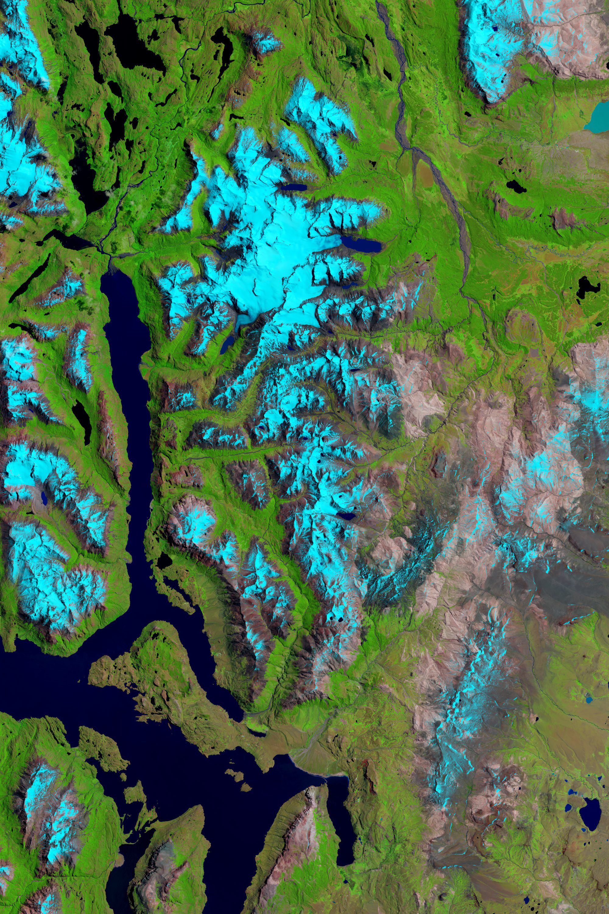
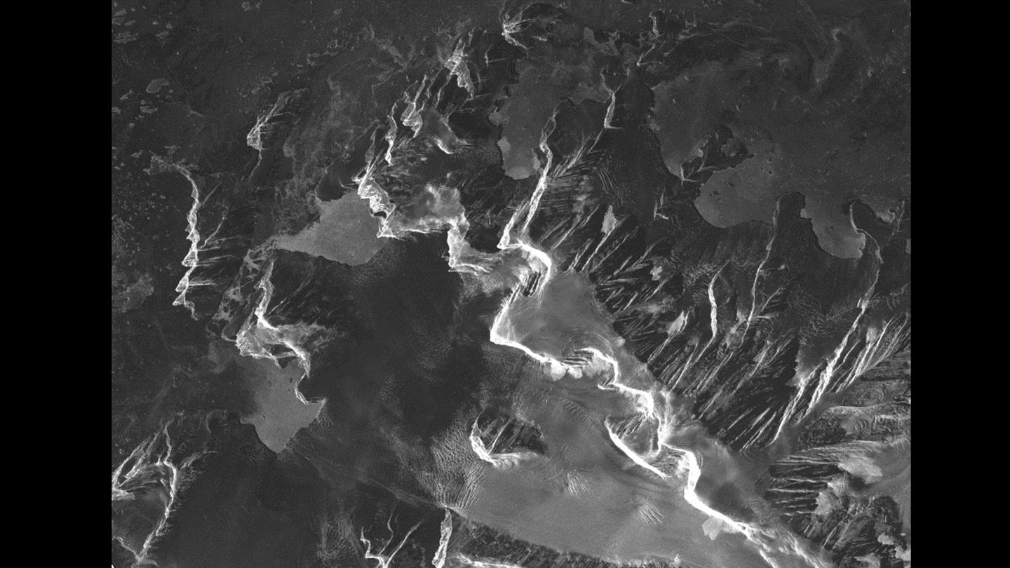
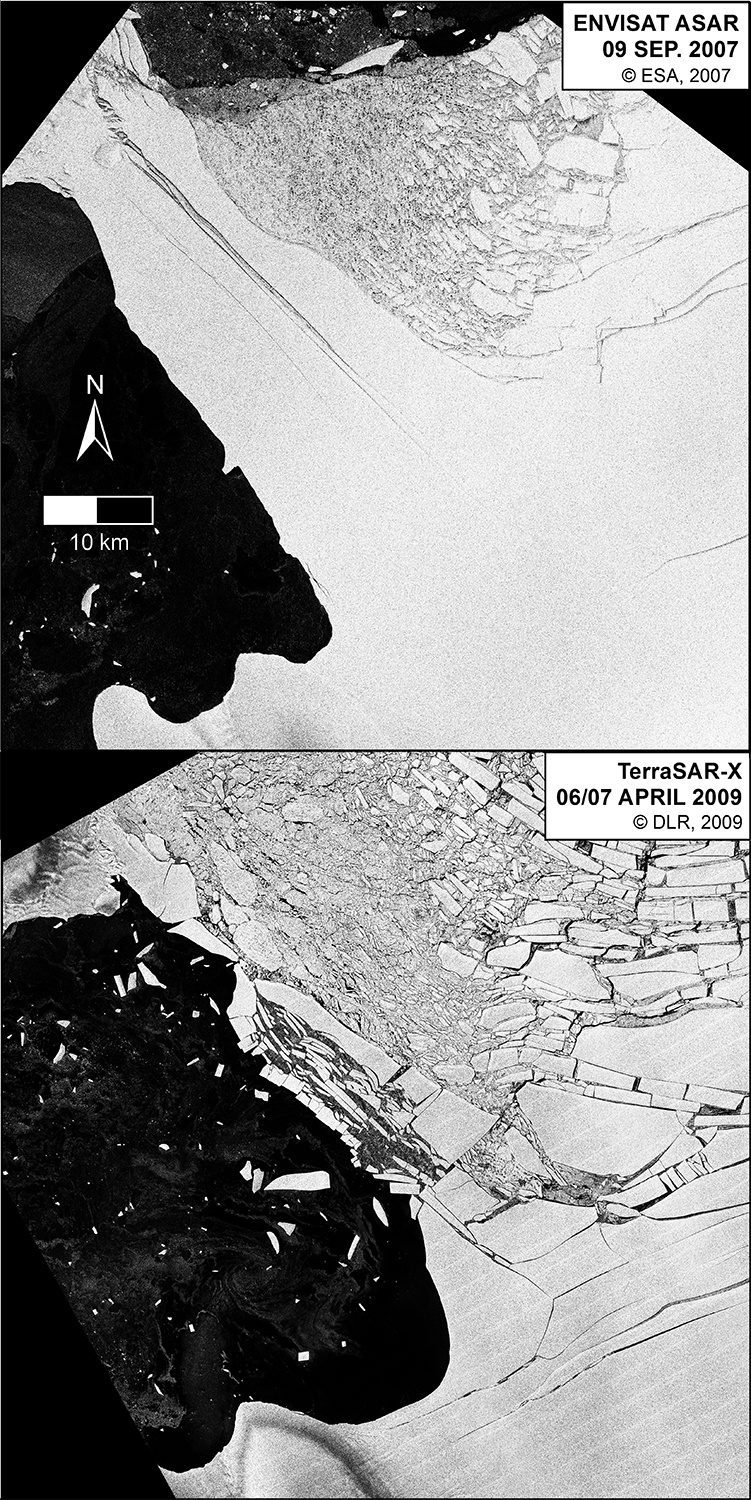
Reports and studies of shrinking glaciers and ice sheets in Greenland and Antarctica come in regularly, but an additional ice field can be added to the list: Patagonia, the mountainous area at the southern end of South America shared by Argentina and Chile.
NASA UAS Monitors Pacific Storms
Extreme weather predictions on the U.S. West Coast could become more accurate with help from NASA’s Global Hawk unmanned aircraft system (UAS).
Satellites Help Antarctic Researchers Navigate Icy Seas
The crew aboard the Dagmar Aaen, a research ship traveling around the Antarctic Peninsula to investigate how climate change is impacting the local environment, is receiving high-resolution radar images from the German Aerospace Center (DLR) to help navigate the icy waters.
Beauty and a Bridge on French Coast
With approximately 80,000 inhabitants, La Rochelle, France, is a city and seaport on the Atlantic Ocean's Bay of Biscay, connected to the Île de Ré by a 2.9-kilometer bridge that's visible in the center of this image captured by the European Space Agency (ESA) Sentinel-2A satellite.
Sentinel-3A Satellite Successfully Launched
On Feb. 16, 2016, the European Space Agency's much-anticipated Sentinel-3A satellite was successfully launched from the Plesetsk cosmodrome in northern Russia.
USGIF Accepting Applications for Awards, Scholarships
The U.S. Geospatial Intelligence Foundation (USGIF) is accepting nominations for its 2016 Awards and Scholarship programs.
Winter Exposes Sea of Okhotsk's Beauty, Danger
A NASA satellite captured a stunning image of winter's effects on the Sea of Okhotsk, which is part of the western Pacific Ocean surrounded by mostly Russian territory as well as the Japanese island of Hokkaido.
Space Station Deploys Student-Built Satellites
On Feb. 2, 2016, a robotic arm aboard the International Space Station deployed a pair of satellites built by students at Texas A&M University and the University of Texas.
Antarctica Losing Ice ˜Safety Band'
According to a report recently published in Nature Climate Change, satellite data is helping to reveal that there's a critical point where Antarctica's huge ice shelves act as a safety band, holding back the ice that flows to the sea.
Bolivia's Second-Largest Lake Evaporates
The European Space Agency (ESA) Proba-V minisatellite recorded the drying up of Lake Poopó, the second-largest lake in Bolivia.