Coastal-Erosion Modeling with LiDAR and UAS Technology

Coastal-Erosion Modeling with LiDAR and UAS Technology

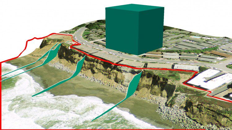
Coastal erosion is a persistent problem along the California coast that can drastically affect local communities. In the last 20 years alone, erosion has taken a particularly high toll in Pacifica, Calif. Through wind, rain and wave action, the scenic bluffs that line the ocean in this beachside town have continued to retreat to a point where local homes have been evacuated and condemned for demolition.

Thermal Imagery Adds Monitoring Options

Thermal Imagery Adds Monitoring Options

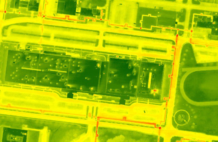
As traditional imagery becomes more of a commodity in the mapping industry, professionals are exploring new ways to utilize different sensors in a geospatial context. Thermal imagery is a promising technology that can benefit a variety of applications, although it remains underutilized in large-scale geographic acquisitions.

NEWEST V1 MEDIA PUBLICATION

October Issue 2023