Canada's Costly Fort McMurray Wildfire

Canada's Costly Fort McMurray Wildfire

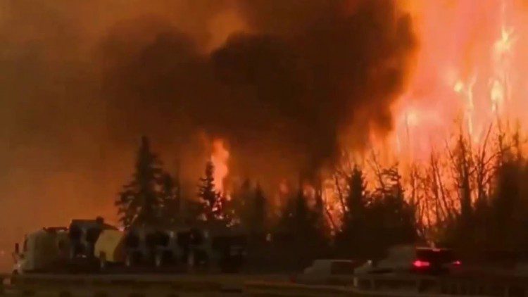
The Fort McMurray wildfire, which was first reported on May 1, 2016, and not declared under control until July 5, 2016, destroyed more than 2,400 homes and buildings and forced the evacuation of 80,000 people in Alberta, Canada. Although no one died directly from the fire, it is expected to be one of the most-expensive natural disasters in Canada's history, with insurance and firefighting costs expected to reach up to $5 billion, a figure large enough to negatively impact the country's overall economy.
Solar Eclipse Casts Moon Shadow on Earth

Solar Eclipse Casts Moon Shadow on Earth

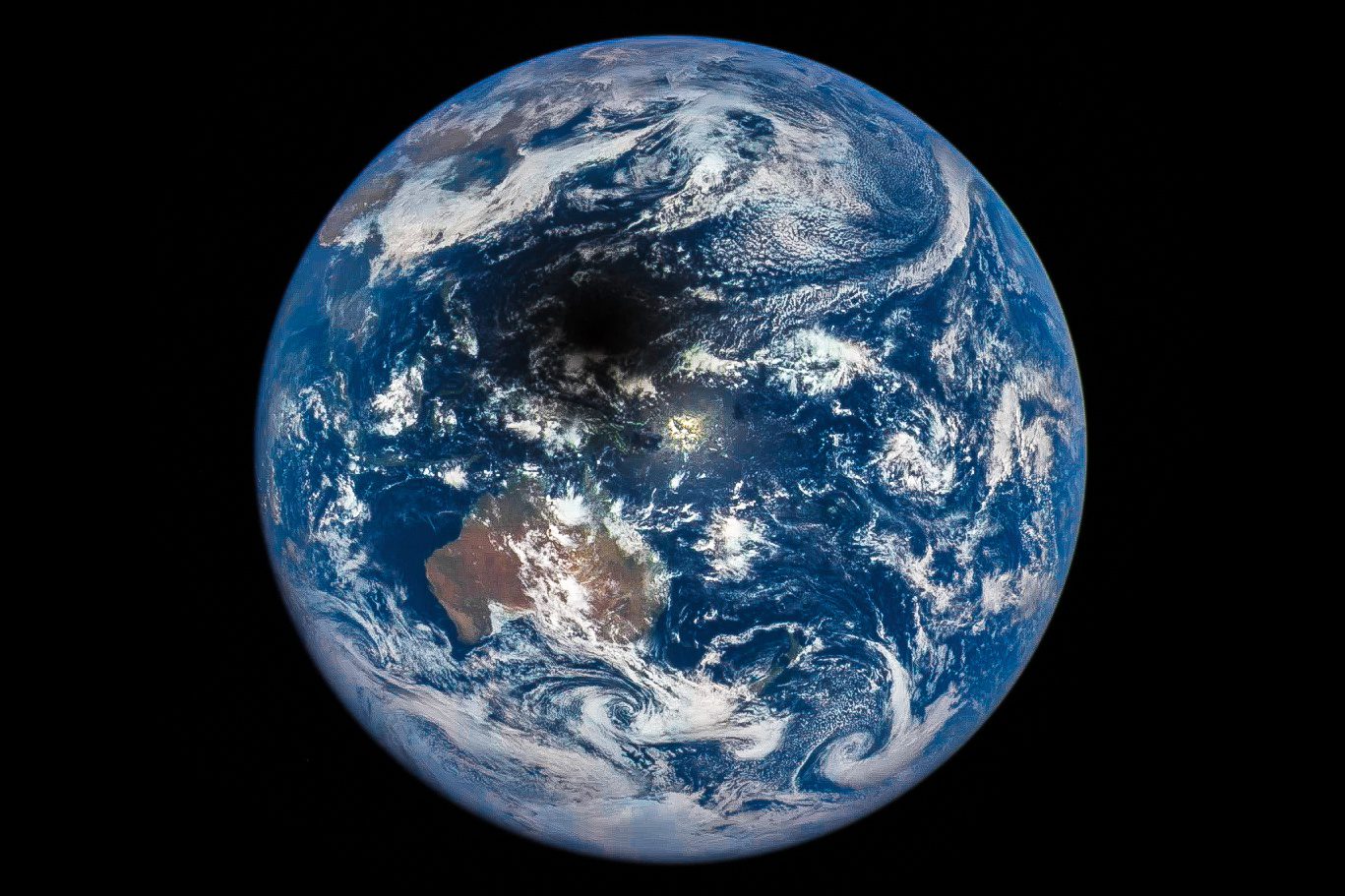
On March 9, 2016, and approximately 1 million miles from Earth, NASA's Deep Space Climate Observatory (DSCOVR) captured the shadow of the Moon moving across Earth's sunlit face. The only total solar eclipse of 2016 moved across the Indian Ocean and past Indonesia and Australia into the open waters and islands of Oceania and the Pacific Ocean.

Sentinel-3A Satellite Launched, Now Transmitting Imagery

Sentinel-3A Satellite Launched, Now Transmitting Imagery

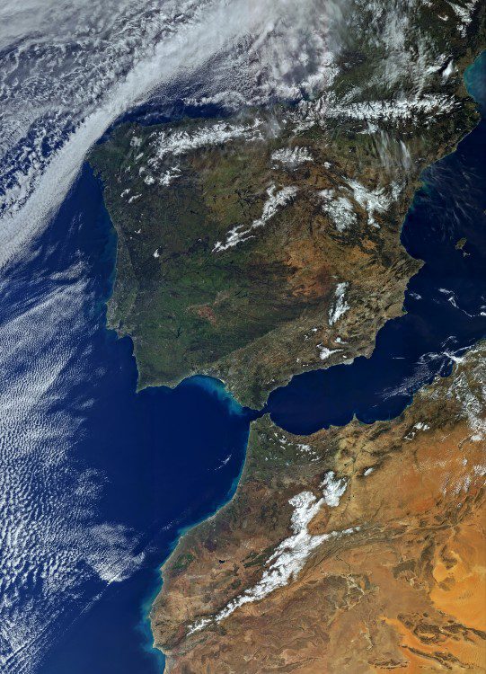
On Feb. 16, 2016, the European Space Agency (ESA) Sentinel-3A satellite was successfully launched from the Plesetsk cosmodrome in northern Russia. Sentinel-3A carries a suite of instruments that will measure Earth's oceans, land, ice and atmosphere, providing information in near-real time for ocean and weather forecasting as part of Europe's Copernicus program.

NASA Satellites Track Historic Hurricane Patricia

NASA Satellites Track Historic Hurricane Patricia

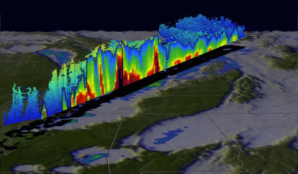
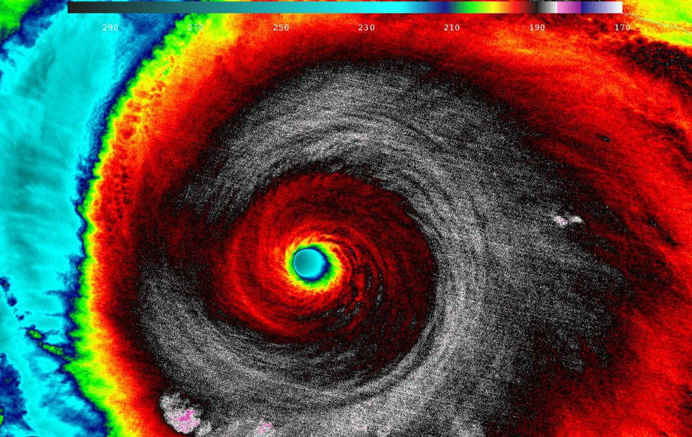
Hurricane Patricia made landfall on Oct. 24, 2015, along the southwestern coast of Mexico. NASA's Aqua satellite captured Patricia making landfall, while the Global Precipitation Measurement mission core satellite added up Patricia's high rain totals, which exceeded more than 409 millimeters (16.1 inches) over open waters.

NASA's New Blue Marble More than Iconic

NASA's New Blue Marble More than Iconic

A new Blue Marble image, patterned after one of the most famous and reproduced photos of all time, a 1972 photo from Apollo 17, is the first fully illuminated snapshot of Earth captured by the DSCOVR satellite, a joint NASA, NOAA and U.S. Air Force mission almost two decades in the making.

Mapping Forest Loss with Landsat

Mapping Forest Loss with Landsat

With at least one image of every location on Earth per season for 43 years, the Landsat data archive contains more than 50 trillion pixels. So how could you put all of that imagery to use in discovering and monitoring subtle changes on Earth? One answer lies in the...

Comparing Global Views of Our Planet, Then and Now

Comparing Global Views of Our Planet, Then and Now

In the decade before the first Earth Day, our view of the planet was still fuzzy. Scientists and engineers of the 1960s were experimenting with satellites to see if and how they could be useful for meteorology and Earth science. Early space imagers were similar to...

NEWEST V1 MEDIA PUBLICATION

May Issue 2023