EuroGeographics has renewed its Service Level Agreement with The Netherlands' Cadastre, Land Registry and Mapping Agency (Kadaster) to provide secretariat services for UN-GGIM: Europe. Â The membership association for the European National Mapping, Cadastre and Land...
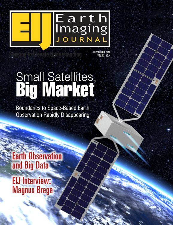
July – August 2016 Table of Contents
For what SmallSats lack in size, they more than make up for in quantity and breadth of coverage, and that goes beyond just their physical dimensions. Along with unmanned aerial systems (UASs or drones), SmallSats (which have several related subsets such as cubesats, nanosats, microsats and others) seem to dominate headlines and conversations in Earth-observation industries and media.
May – June 2016 Table of Contents
Working in difficult and frozen conditions 3,000 meters above sea level, with only a small time window due to changing weather and potentially melting surroundings, explorers, photographers and scientists used a laser scanner, an unmanned aerial system (UAS) vehicle and cameras to map out The Abyss of Cenote, one of the largest glacial caves in the Italian Dolomites.
March – April 2016 Table of Contents
Mexico is among the ambitious countries that committed to the Tier 3 requirements of the Reduce Emissions from Deforestation and Degradation (REDD+) international conservation mechanism.
January – February 2016 Table of Contents
The annual Earth Imaging Journal polling of its Editorial Advisory Board and industry experts typically asks the same overarching question to everyone. That's possible when one dominant theme or trend becomes obvious, but Earth imaging is seeing a remarkable period of innovation and disruption, including the rise of unmanned aircraft systems, smallsats, phenomenal growth in the number of commercial imagery providers, cloud computing and Big Data analytics, and more.
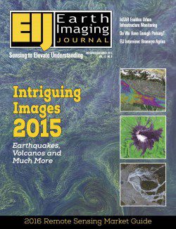
November – December 2015 Table of Contents
Earth imagery's unparalleled insights and transparency are elevating our understanding of today's interconnected world. The following graphics highlight a few of the many ways Earth observation chronicled some of 2015's noteworthy events and interesting phenomena.
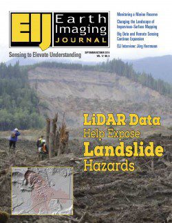
September – October 2015 Table of Contents
LiDAR data”if collected, analyzed and disseminated to local residents and policy makers”can be invaluable in mapping landslide hazards. In turn, such mapping can greatly help mitigate the consequences of landslides. After the Oso disaster, interest in landslide hazards grew significantly in Washington as well as Oregon, California and other mountainous states.
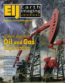
July – August 2015 Contents
Remote sensing and associated technologies for oil and gas (O&G) applications aren't new”they've been around for several decades. However, above surface information hasn't been widely used in the last 30-40 years of O&G exploration and operations; sub-surface analyses have been more pervasive for several reasons.
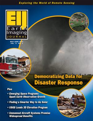
May-June 2014 Contents
Emergency responders use an often complex mixture of static and dynamic data to make quick, meaningful decisions that can save lives as well as property. But anticipating scenarios and responses can help responders coordinate, rather than duplicate their efforts. Discover how this vision is becoming a reality.
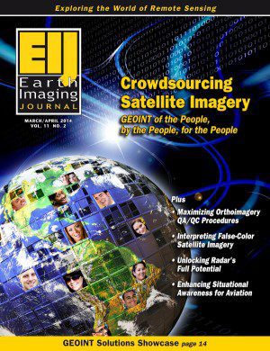
March-April 2014 Contents
The phenomenal response to crowdsourcing campaigns has engaged a new kind of analysis in which millions of volunteers use high-resolution Earth imagery to search vast areas with incredible precision. Learn more about a new direction for geospatial intelligence (GEOINT) that uses individuals as data producers and consumers.

