By Ethan Alpern, public affairs specialist, U.S. Geological Survey (www.usgs.gov), Reston, Va. Hurricane season started again in June. Do you know what happens to U.S. coasts after these extreme storms? The U.S. Geological Survey (USGS) recently launched a...

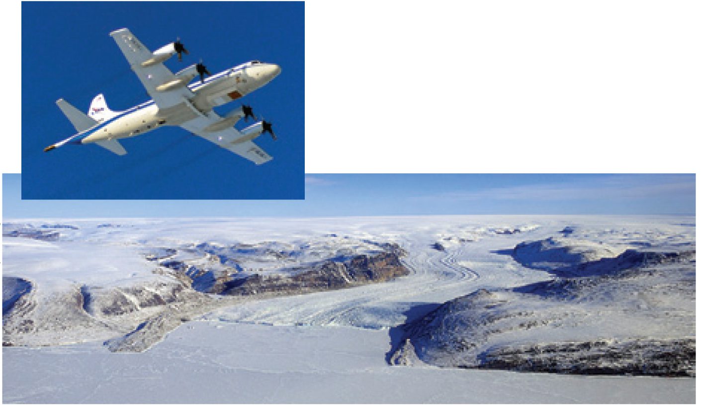
IceBridge: Building a Record of¨ Earth's Changing Ice, One Flight at a Time
By Holli Riebeek, NASA Earth Observatory (http://earthobservatory.nasa.gov), Greenbelt, Md. “Because understanding of some important effects driving sea level rise is too limited, this report does not assess the likelihood, nor provide a best estimate or an...
Beware”Map Projections Do Matter
By Robert Simmon, NASA Goddard Space Flight Center (www.nasa.gov/goddard), Greenbelt, Md. hen it comes to misinterpreting a satellite image or map, there are many ways the media and other organizations can get it wrong. For example, consider this recent headline and...

