April 14, 2017
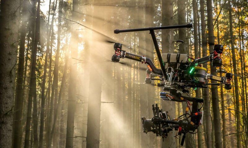
Successful drone entrepreneur Petr Lněnička went from award-winning filmmaker to drone inspection leader in his native Czech Republic. Here he lays out 3 pieces of advice and explains why for him, the transition seemed logical, and why he believes the future of drone mapping services will place less and less emphasis on drones and more and more...
July 28, 2016
The concept of cloud-based augmented reality (AR) is on the precipice of fundamentally changing organizational decision making for all types of industries. However, with any new technological frontier, there are many innovative startups vying to take the lead in the practical, commercial application of AR. And this is exactly what’s happening today, with the geospatial sector being on the forefront of this technology frontier.
December 2, 2015
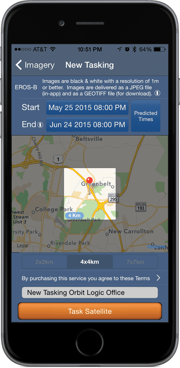
Space often is viewed as a high-tech futuristic dream available only to the world’s top-notch scientists. Online satellite maps, TV and GPS have snuck into common usage, but with the controlling powers being large companies or institutions. But we’re now at a tipping point for making recent and tasked satellite imagery accessible to everyone, and
September 27, 2015
Teaching in the geospatial intelligence (GEOINT) field provides the opportunity for discussion and debate regarding the elements of this discipline. In the course of discussions with students, educators and those in the profession, the question as to how GEOINT is different from other geospatial analytic activities is occasionally raised. It’s an important question to answer,
July 16, 2015
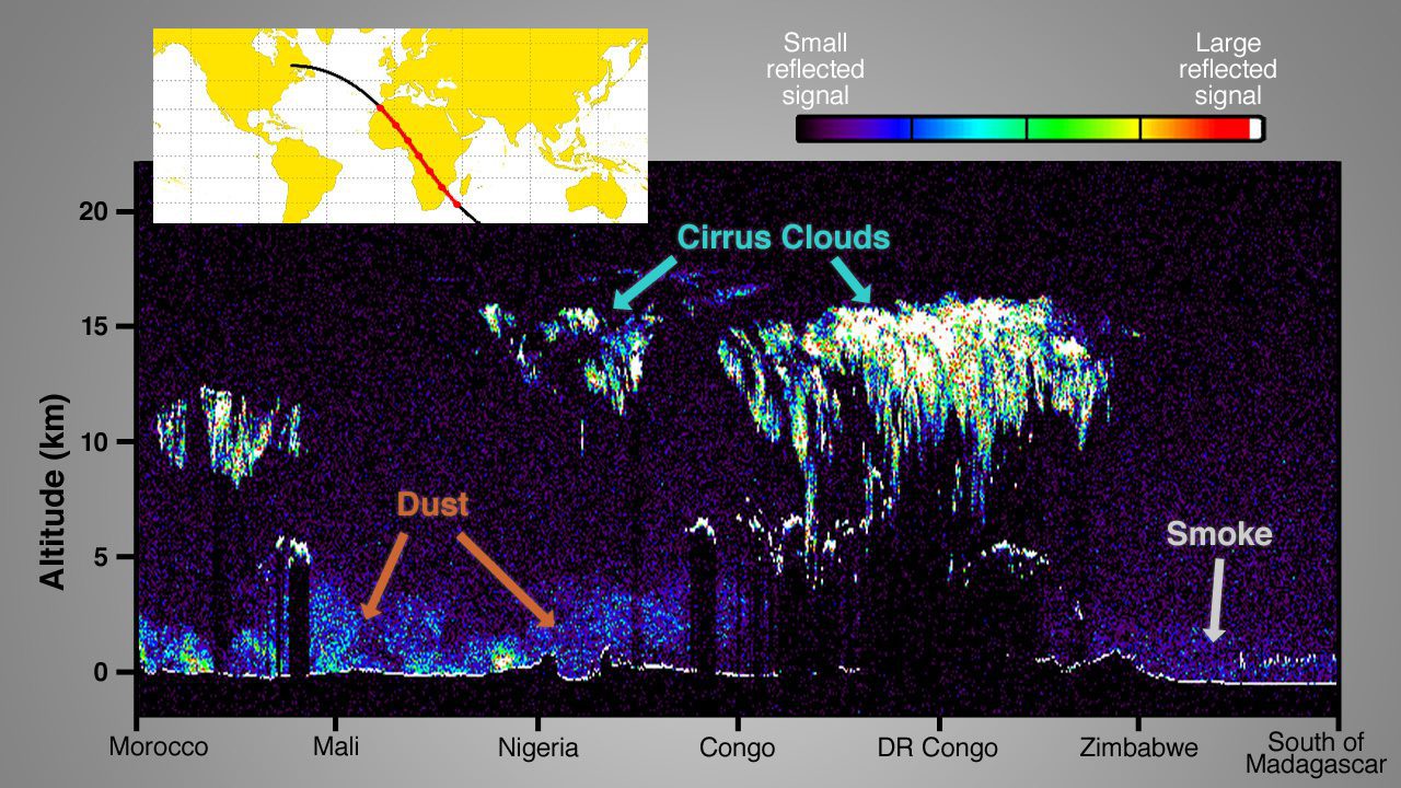
By Steve Cole, public affairs officer, Earth Science Division, NASA (www.nasa.gov), Washington, D.C. Four new NASA Earth-observing missions are collecting data from space—with a fifth newly in orbit—after the busiest year of NASA Earth science launches in more than a decade. On Feb. 27, 2014, NASA and the Japan Aerospace Exploration Agency (JAXA) launched the
June 11, 2015
By Richard M. Medina, assistant professor, and George F. Hepner, professor, Department of Geography, University of Utah (www.geog.utah.edu), Salt Lake City. Today’s research environment is one in which basic research and understanding aren’t valued as much as engineering and tech-nology. Regarding geospatial intelligence (GEOINT), in many cases there’s more interest in capability-driven technologies rather than working
April 5, 2015
By George Demmy, chief technology officer, TerraGo Technologies (www.terragotech.com), Sterling, Va. Geospatial technology professionals built an industry on understanding the importance of data in a geographic context and facilitating decision-making by gathering and analyzing such data. The industry continues to grow because these professionals communicate results in ways that take some of the mystery out
February 21, 2015
By John R. Hughes, editor, Earth Imaging Journal, Denver. In late 2009, a $14.3 million allocation from the American Recovery and Reinvestment Act for new light detection and ranging (lidar) elevation data prompted the U.S. Geological Survey (USGS) National Geospatial Program (NGP) to develop a common base specification for all lidar data acquired for The
December 13, 2014
Conservation biology has been tasked with coordinating research and monitoring efforts to revert the current biodiversity crisis. Rooted in ecology, the discipline traditionally sought relevant information from ground-based methodologies. On the other hand, the roots of environmental remote sensing lie in the geography and engineering disciplines.
September 15, 2014
By Mladen Stojic, president, Hexagon Geospatial (www.hexagongeospatial.com), Norcross, Ga. One constant in our world is change, which can have a dramatic effect on virtually any organization around the globe. Today’s dynamically transforming landscape, whether resulting from man-made or natural causes, influences all plans and decisions. The most progressive organizations have developed the right tools and