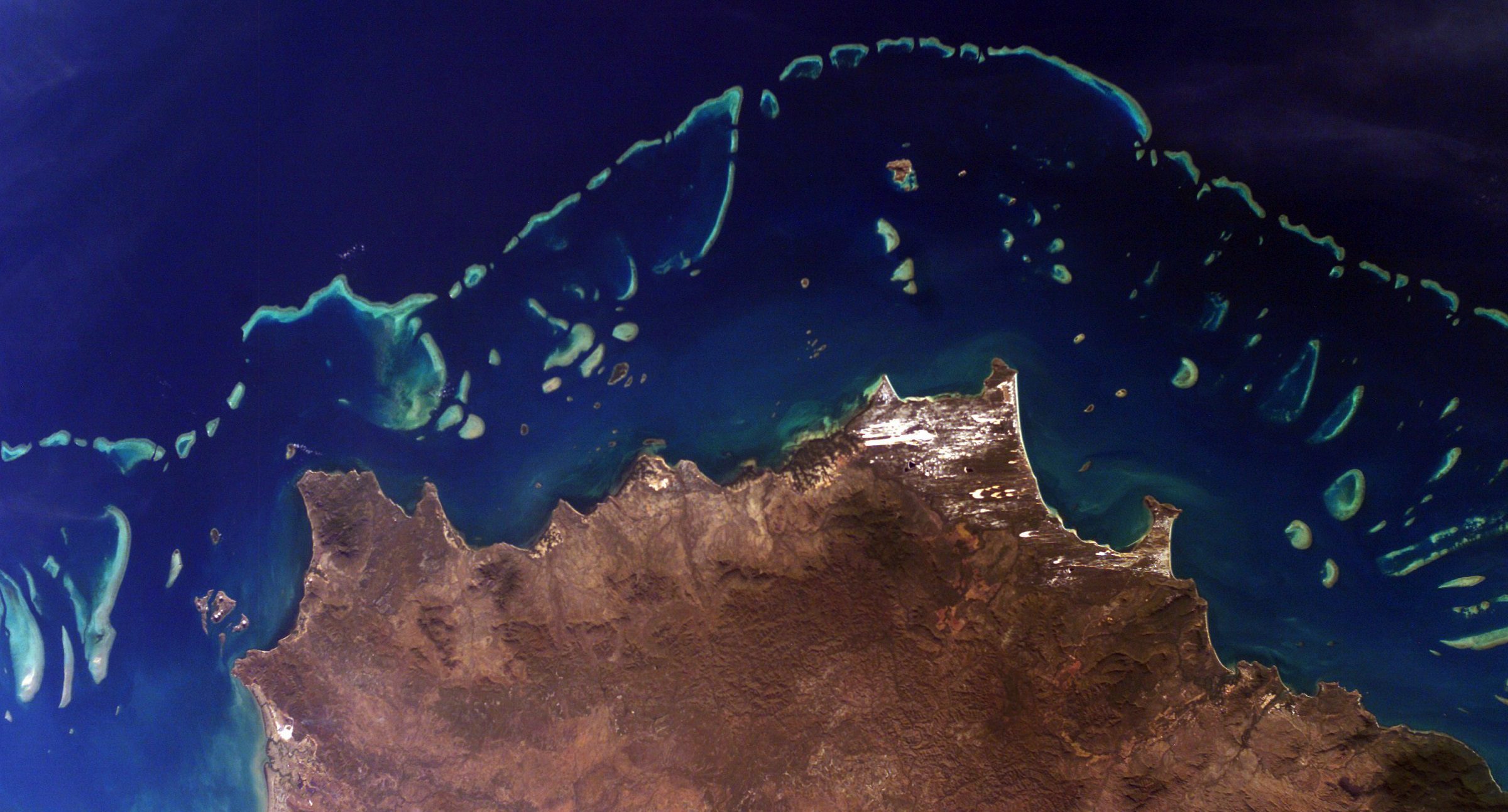
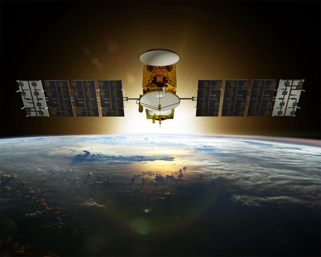
A new three-year NASA field expedition will use advanced instruments on airplanes and in the water to survey more of the world's coral reefs in greater detail. The COral Reef Airborne Laboratory (CORAL) will measure the condition of these threatened ecosystems and create a unique database of uniform scale and quality.
Jason-3 Successfully Launched
A SpaceX Falcon 9 rocket successfully launched the Jason-3 satellite on Jan. 17, 2016, from Space Launch Complex 4 East at Vandenberg Air Force Base in California.
New Map Uses Gravity to Model Ocean Floor
An international scientific team recently published a new map of the ocean floor based on Earth's gravity field to help submariners and ship captains with navigation, particularly in previously uncharted areas.
NOAA Issues Space Policy for Commercial Sector
The National Oceanic and Atmospheric Administration (NOAA) released its commercial space policy, which sets a broad framework for agency use of commercial space-based approaches.
Complete Landsat Mosaic of Australia Released
Australian company geoshepherds created a complete Landsat 8 Mosaic (L8M) of Australia, consisting of more than 7.6 million square kilometers of imagery that has been orthorectified, radiometrically color balanced and pansharpened.
Flooding Continues along Mississippi River
The Mississippi River Valley has been experiencing record floods after a series of storms brought heavy rains to the region in late December 2015. The torrential rainfall pushed some parts of the Mississippi River and its tributaries to record-high levels, particularly for the time of year.
Satellite Imagery Catalogs Nepal Earthquake Landslides
Scientists with the Global Land Ice Measurements from Space (GLIMS) network, an international consortium of glaciologists, used satellite imagery to search for landslides after the April 25, 2015, earthquake that claimed more than 9,000 lives in four countries, primarily Nepal.
NASA Satellite Tracks Deadly U.S. Weather
The Global Precipitation Measurement (GPM) satellite, an international mission between NASA and the Japan Aerospace Exploration Agency, analyzed extreme weather that affected the United States between Dec. 23-27, 2015.
1968 Earthrise Image Reimagined
Near the 47th anniversary of the iconic Earthrise image captured by Apollo 8 astronauts while they orbited the Moon on Dec. 24, 1968, the modern Lunar Reconnaissance Orbiter Camera (LROC) broadcast new images that show a similar scene, with the Moon in the foreground and the distant Earth in the background.
Satellite Technology Supports Anti-Logging Stance of Indigenous Waswanipi
Elders of the indigenous Cree First Nation of Waswanipi people of Broadback Valley in Quebec, Ontario, Canada, have been fighting to protect their land from logging so it can remain in place for future generations.