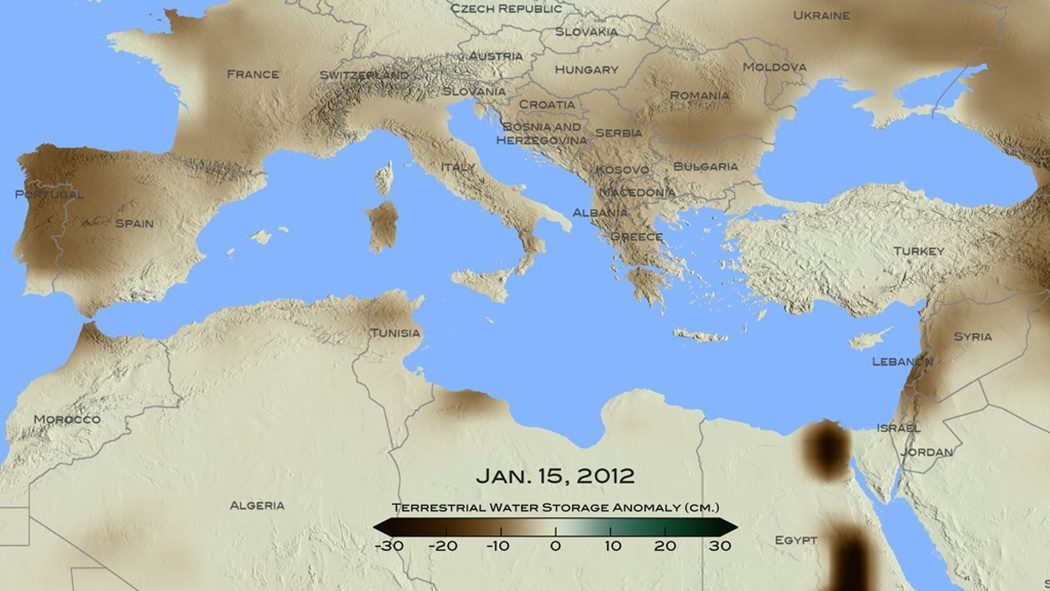
A new NASA study used remote-sensing and tree-ring data to conclude that the recent drought that began in 1998 in the eastern Mediterranean Levant region (Cyprus, Israel, Jordan, Lebanon, Palestine, Syria and Turkey) is likely the worst drought of the last nine centuries.
First Image Published from Sentinel Satellite
Two weeks after its successful launch on Feb. 16, 2016, the Copernicus Sentinel-3A satellite captured its first image, the transition from day to night over Svalbard, Norway.
Satellites Help Monitor Pakistani Groundwater
After decades of unchecked pumping from underground water reservoirs, the Pakistan Council of Research in Water Resources in January 2016 began using satellite data from NASA's Gravity Recovery and Climate Experiment (GRACE) mission to create monthly updates on groundwater storage changes in the Indus River basin.
Penn State Offers Online Earth-Observation Education
The Department of Geography in the College of Earth and Mineral Sciences at The Pennsylvania State University continues to lead academically in geospatial sciences through its Remote Sensing and Earth Observation Program and its Online Geospatial Education Program Office.
NASA UAS Monitors Pacific Storms
Extreme weather predictions on the U.S. West Coast could become more accurate with help from NASA’s Global Hawk unmanned aircraft system (UAS).
Satellites Help Antarctic Researchers Navigate Icy Seas
The crew aboard the Dagmar Aaen, a research ship traveling around the Antarctic Peninsula to investigate how climate change is impacting the local environment, is receiving high-resolution radar images from the German Aerospace Center (DLR) to help navigate the icy waters.
Sentinel-3A Satellite Successfully Launched
On Feb. 16, 2016, the European Space Agency's much-anticipated Sentinel-3A satellite was successfully launched from the Plesetsk cosmodrome in northern Russia.
USGIF Accepting Applications for Awards, Scholarships
The U.S. Geospatial Intelligence Foundation (USGIF) is accepting nominations for its 2016 Awards and Scholarship programs.
Space Station Deploys Student-Built Satellites
On Feb. 2, 2016, a robotic arm aboard the International Space Station deployed a pair of satellites built by students at Texas A&M University and the University of Texas.
Antarctica Losing Ice ˜Safety Band'
According to a report recently published in Nature Climate Change, satellite data is helping to reveal that there's a critical point where Antarctica's huge ice shelves act as a safety band, holding back the ice that flows to the sea.