The Lockheed Martin team developing GeoEye's next-generation, high-resolution Earth imaging satellite has successfully completed the space system critical design review two weeks ahead of schedule.
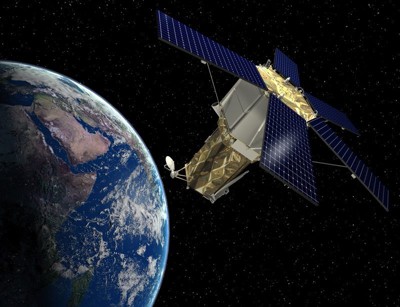
The Lockheed Martin team developing GeoEye's next-generation, high-resolution Earth imaging satellite has successfully completed the space system critical design review two weeks ahead of schedule.
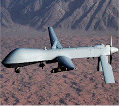
U.S. military successes with drones have changed strategic thinking worldwide and spurred a global rush for unmanned aircraft.
The U.S. Air Force has contracted Raytheon to produce the first airborne tactical Earth imaging hyperspectral sensor system.
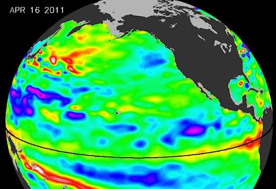
Record snowfall, killer tornadoes, devastating floods Since last December, the weather in the United States has been positively wild. But why? A NASA climatologist points a finger at the disappearance of La Niña.
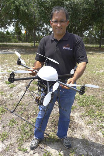
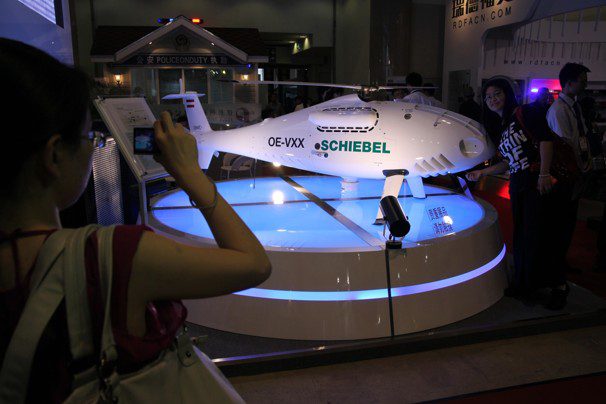
University of Florida researcher Reza Ehsani and others are using a miniature unmanned aircraft system (UAS) to view crops from above, giving farmers a promising, inexpensive way to obtain much-needed clues about what's really happening between the leaves and branches.

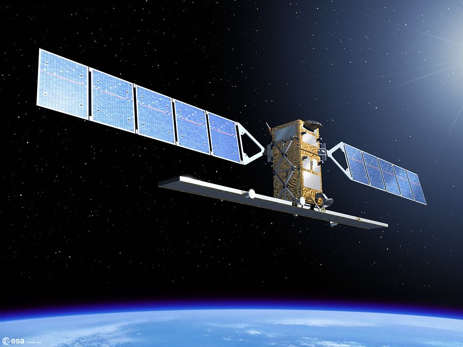
If all goes well, Spain will become the first European country to have a dual Earth observation system”radar and optical”for both civilian and military use.
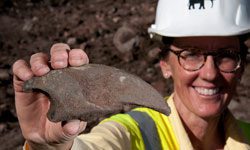
A group of 27 scientists has joined the 50-person dig team at the Ice Age fossil site near Snowmass Village, Colo. With only a week left in the dig at Ziegler Reservoir, the fossil excavation is accelerating to its completion.
During the last two years the European Space Agency has funded a project that aims to establish a service concept based on satellite Earth observation technologies capable of monitoring carbon dioxide capture and storage facilities.

The National Geospatial-Intelligence Agency continues to pursue better ways to make imagery more readily available to the warfighter, including tapping into cloud computing. Which hand-held devices could benefit from this trend?
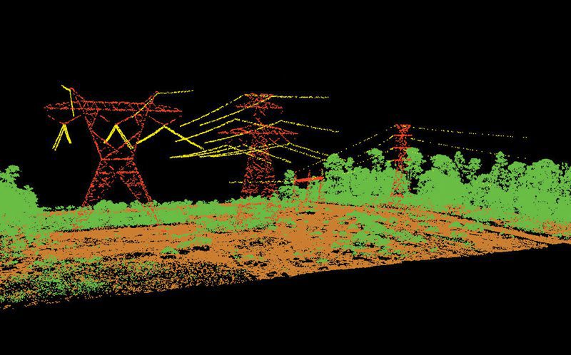
North American Electric Reliability Corp. (NERC) now requires transmission line owners to document the condition of their assets. Merrick & Company says its helicopter-mounted LiDAR is speedier and more cost effective than fixed-wing aircraft for this highly specialized task.
