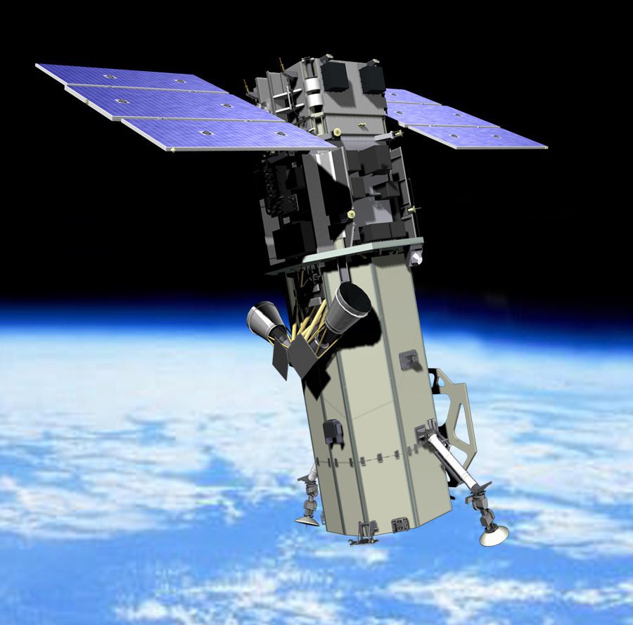
An Indian Space Research Organization spokesman disputed China's claims that India's new Radar Imaging Satellite 1, launched April 26, is intended for spying.
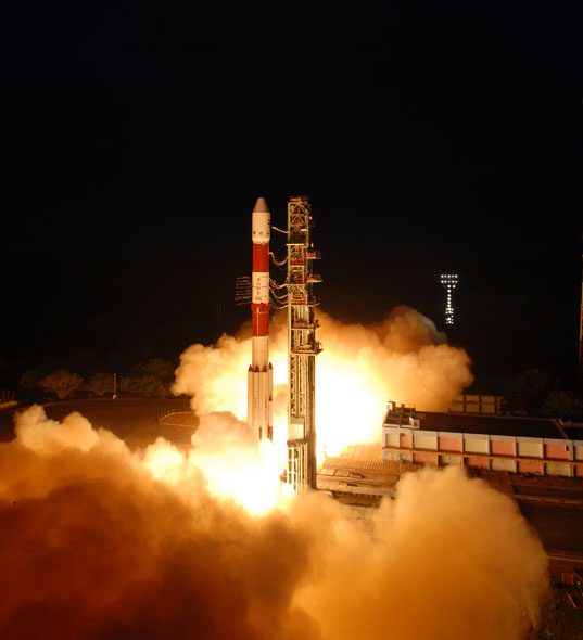
An Indian Space Research Organization spokesman disputed China's claims that India's new Radar Imaging Satellite 1, launched April 26, is intended for spying.
Canada’s ability to monitor and manage its Arctic interests appears to be in jeopardy amid federal funding cuts and conflicting spending priorities at the Canadian Space Agency.
NASA and the U.S. Geological Survey have created an exclusive slide show for CNN comprising time-series satellite images that clearly chronicle the epic migration from rural areas to cities.
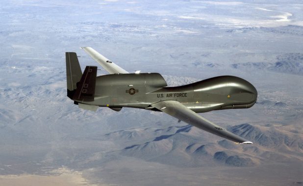
A proven sense-and-avoid system is the biggest challenge for the coming integration of unmanned aircraft into the national airspace system, according to a panel of experts.
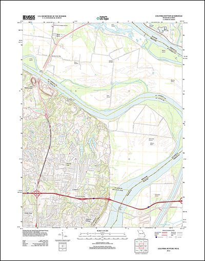
U.S. Geological Survey has publicly released more than 161,000 digitally scanned historical maps spanning more than 130 years and covering the coterminous lower 48 states.
Researchers studying surface temperatures of black, white and green (vegetated) roofs in cities found a startling difference: black roofs can be up to 54 degrees hotter than a green or white roof.
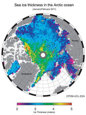
After nearly a year and a half of operations, the European Space Agency's CryoSat satellite has yielded its first seasonal variation map of Arctic sea-ice thickness.
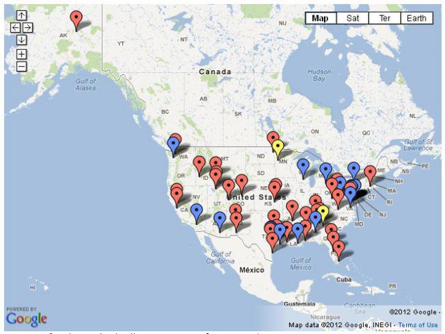
The Federal Aviation Administration (FAA) has released public records that show for the first time who currently is authorized to fly unmanned aircraft in the United States.
DigitalGlobe and its European partner satisfied two-thirds of the European Union's Common Agricultural Policy needs for high-resolution imagery.
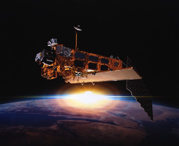
After celebrating 10 years of service on March 1, Envisat has stopped sending data to Earth. The European Space Agency is working to re-establish contact with the satellite.
