Google released Google Earth 6.2 last Thursday, an update that eliminates the “patchwork quilt” effect from previous efforts. The update is ready to download now.
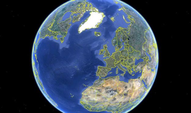
Google released Google Earth 6.2 last Thursday, an update that eliminates the “patchwork quilt” effect from previous efforts. The update is ready to download now.
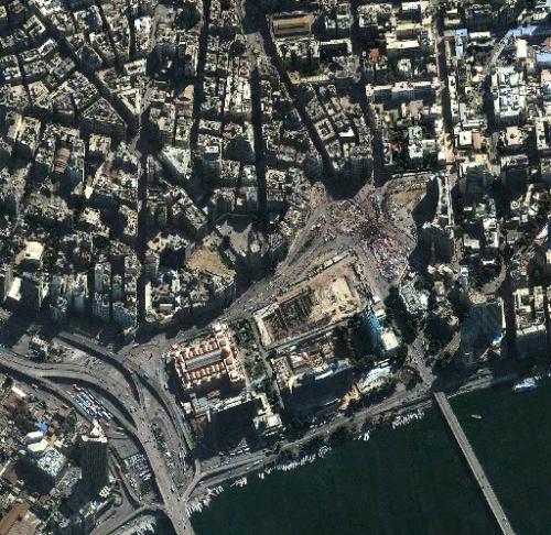
DigitalGlobe’s Analysis Center personnel wrap up a busy first year of watching the world, analyzing satellite images that range from Arab protests to spotting China’s new aircraft carrier during sea trials.
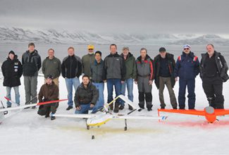
An executive with the Association for Unmanned Vehicle Systems International says the industry group ultimately sees the civil market for drones being even larger than the defense market.
Like a baby learning to walk, the Visible Infrared Imager Radiometer Suite (VIIRS) is slowly adjusting to its new space environment and is gradually taking steps toward full operations.
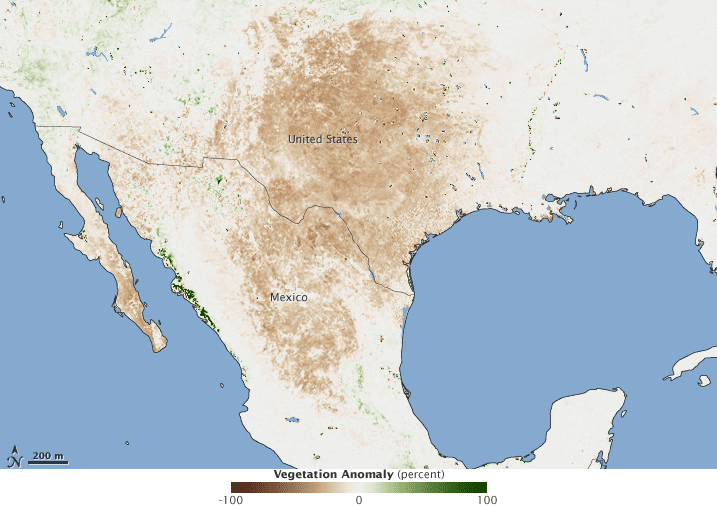
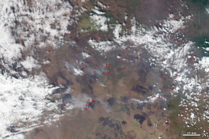
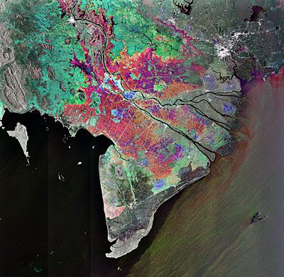
The 2011 growing season wasn't kind to the southern United States and northern Mexico. In January 2012, some Mexican communities began to suffer severe food shortages.
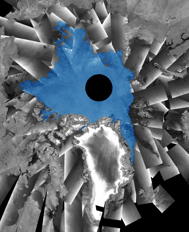
European Space Agency satellites show that a large dome of fresh water has been building in the Arctic Ocean during the last 15 years, which could effect major climate change in Europe.
Innovative Analytics and Training released an independent study that posits three alternative future scenarios for U.S. commercial satellite imagery in 2020.
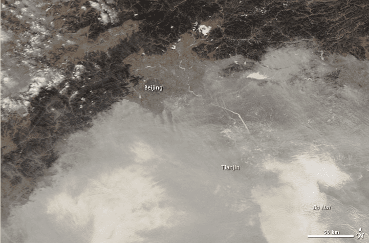
Fog and haze blanketed the North China Plain on Jan. 10, 2012, forcing the Beijing airport to cancel 43 flights and delayed 80 more when visibility dropped to 200 meters.
Japanese experts are to help Vietnam build its first Earth-observation satellites to help the Southeast Asian country plan for the effects of climate change and natural disasters.
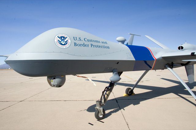
U.S. Customs and Border Protection officials are looking to expand the use of remotely piloted surveillance aircraft to cover nearly all of California.
