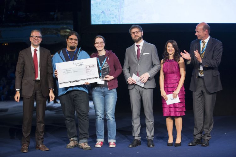
On Oct. 25, 2016, winners in the Copernicus Masters Earth-observation competition were recognized before an international audience in Madrid, Spain. The grand prize went to the team from Slovenia's Sinergise Ltd., whose Sentinel Hub cloud-based web service for satellite data won the T-Systems Open Telekom Cloud Challenge before edging out winners of the other six categories.
Sentinel Spies Snowy Siberia
The European Space Agency (ESA) Sentinel-2A satellite collected this image of the Putorana Plateau in northern Central Siberia. Situated about 100 kilometers north of the Arctic Circle, the site serves as a major reindeer migration route and is one of the few centers of plant species richness in the Arctic.
NASA Establishes Small Spacecraft Systems Virtual Institute
NASA introduced the Small Spacecraft Systems Virtual Institute (S3VI), hosted at NASA's Ames Research Center in Moffett Field, Calif., to leverage the growing small spacecraft (i.e., SmallSat) community, promote innovation, identify emerging technology opportunities, and provide an efficient channel for communication about small spacecraft systems with industry, academia and other government agencies.
Desert Irrigation Makes for Spectacular Imagery
Although it may be difficult to irrigate fields in the middle of the the Wadi As Sirhan basin of Saudi Arabia, the practice does lead to stunning and beautifully contrasting imagery, as evidenced in this European Space Agency (ESA) false-color image from the Proba-V minisatellite.
Satellite Imagery Helps Verify ˜Zero Deforestation' Commitments
Airbus Defence and Space, The Forest Trust (TFT) and SarVision developed the Starling service, which enables companies to provide evidence of how they're implementing their No Deforestation commitments. Starling uses a combination of high-resolution optical satellite and radar imagery to provide unbiased monitoring of forest-cover change.
Landsat Looks at Europe's Largest Glacier
Glaciers cover 11 percent of Iceland's landscape, and the Vatnajökull (Vatna Glacier in English) is 8,000 square kilometers and the largest in Europe. The Landsat-8 satellite captured this false-color image over Iceland's southeastern coast and the Vatnajökull glacier.
Trimble Sells UAS Business to Delair-Tech
Trimble announced that Delair-Tech acquired its Belgium-based Gatewing Unmanned Aircraft System (UAS) engineering and manufacturing business. Delair-Tech intends to grow the acquired business as part of its portfolio. Financial terms were not disclosed. “This...
Hurricane Matthew Devastates Haiti
On Oct. 4, 2016, Hurricane Matthew made landfall on southwestern Haiti as a Category 4 storm”the strongest storm to hit the Caribbean nation in more than 50 years.
Swarm Satellites Measure Earth's Magnetism and Electricity
In 2013, the European Space Agency (ESA) launched a trio of Swarm satellites to monitor Earth's magnetic field. According to a research paper published in Science Advances on Sept. 30, 2016, the satellites were able to measure a faint magnetic field created by oceans that led to discoveries about Earth's electrical nature.
Volcanic Activity in South Sandwich Islands
Located in the South Atlantic Ocean, the uninhabited South Sandwich Islands include several active stratovolcanoes. Due to their remote location, these volcanoes are some of the least studied in the world, although satellites often catch them erupting.