A pair of Earth-observation industry market reports were published almost simultaneously in September 2015, and both were optimistic as to the current and future states of satellite-based remote sensing.
A pair of Earth-observation industry market reports were published almost simultaneously in September 2015, and both were optimistic as to the current and future states of satellite-based remote sensing.
Aquila Space is building briefcase-sized satellites that can capture and send back images of more than 12 million square miles of Earth daily. Meanwhile, its Silicon Valley partner Astro Digital is developing software that allows anyone to process and analyze the data.
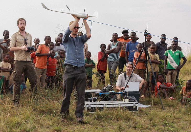
Ecologist Jeff Kerby is using Unmanned Aircraft Systems (UASs), or drones, to count chimpanzee nests and monitor their habitat in Tanzania's Ugalla Forest. Such counts typically are performed on foot, but UASs allowed researchers to cover a much larger area at reduced time and cost.
Oklahoma State University (OSU) as well as the universities of Oklahoma, Nebraska and Kentucky will share a $6 million, four-year grant from the National Science Foundation to develop a small Unmanned Aircraft System (UAS) that improves weather forecasting by studying atmospheric physics.
FRAMINGHAM, Mass., — In a new IDC MarketScape report, IDC Energy Insights found that with the advances in data management, Web, mobile, and integration technologies, utilities are renewing their interest in geographic information systems (GIS) software as a means to...
September 22, 2015 — Using satellites to predict plant and crop diseases is just one of the fresh ideas produced over a week-long camp dedicated to creating mobile apps using Earth observation data. Twenty-three developers from nine countries, representing...
September 22, 2015 — Teledyne Optech is pleased to announce that our academic partners will give exciting presentations on the use of Teledyne Optech lidar systems for forestry applications at the SilviLaser 2015 conference running from September 28th to 30th in La...
MINNEAPOLIS, MN, USA, September 22, 2015 — East View Geospatial (EVG) has obtained the rights to Senegal's nationally produced maps and data, through a partnership agreement with Senegal's National Mapping Agency (NMA); Agence Nationale de l'Aménagement du...
Grand Forks, ND, September 22, 2015 — UAS Magazine is hosting the 9th annual UAS Summit, the upper Midwest’s premier unmanned aircraft systems event produced by UAS Magazine, in collaboration with the Red River Valley Research Corridor. The 2015 agenda is...
Sept. 22, 2015 — Inspecting solar panels, fighting fires and helping farmers manage crops: these are all jobs that thermal imaging camera producer Flir Systems Inc. envisions could be done by drones -- with the help of its new, professional-grade camera....
