V1 Editorial Director Matt Ball spoke with Magnus Brege, CEO of Vricon. The conversation touches on algorithms, automation, transformation and applications.

V1 Editorial Director Matt Ball spoke with Magnus Brege, CEO of Vricon. The conversation touches on algorithms, automation, transformation and applications.

It's difficult to believe there was a time with parallel worlds of GIS and imagery. Now they're tightly tied and getting more tightly integrated.
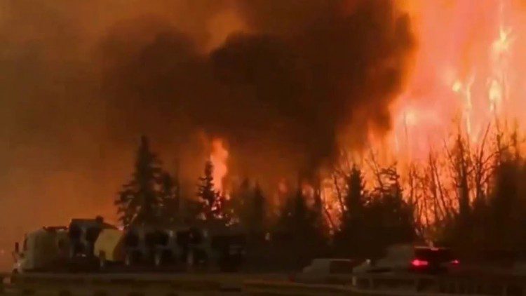
The Fort McMurray wildfire, which was first reported on May 1, 2016, and not declared under control until July 5, 2016, destroyed more than 2,400 homes and buildings and forced the evacuation of 80,000 people in Alberta, Canada. Although no one died directly from the fire, it is expected to be one of the most-expensive natural disasters in Canada's history, with insurance and firefighting costs expected to reach up to $5 billion, a figure large enough to negatively impact the country's overall economy.
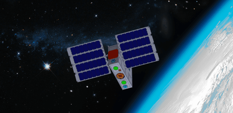
For what SmallSats lack in size, they more than make up for in quantity and breadth of coverage, and that goes beyond just their physical dimensions. Along with unmanned aerial systems (UASs or drones), SmallSats (which have several related subsets such as cubesats, nanosats, microsats and others) seem to dominate headlines and conversations in Earth-observation industries and media.
To help Earth observation (EO) at Big Data scales, teams outside GIS and remote sensing are increasingly rising to the challenge to understand data sources, management and processing.

The agency I'm privileged to lead celebrates a major anniversary this fall. It's been a remarkable 20 years”from NIMA stand-up to NGA transition to the GEOINT Revolution. And I can proudly”and confidently”say that GEOINT is on the rise, more relevant than ever to our customers today and poised for a tomorrow that's filled with possibility.

Because I'm a land surveyor by background, I keep thinking it's the UAS that's important; the manufacturer matters, in the same way the choice of total station or laser scanner often comes down to a preference for Leica or Trimble. But Airware (and other firms) argue that UASs are more like a commodity, and that the real value of UASs for businesses lies in the systems installed on the vehicle.
