Bluesky Introduces Prototype UAV Flight-Restriction Map

Bluesky Introduces Prototype UAV Flight-Restriction Map

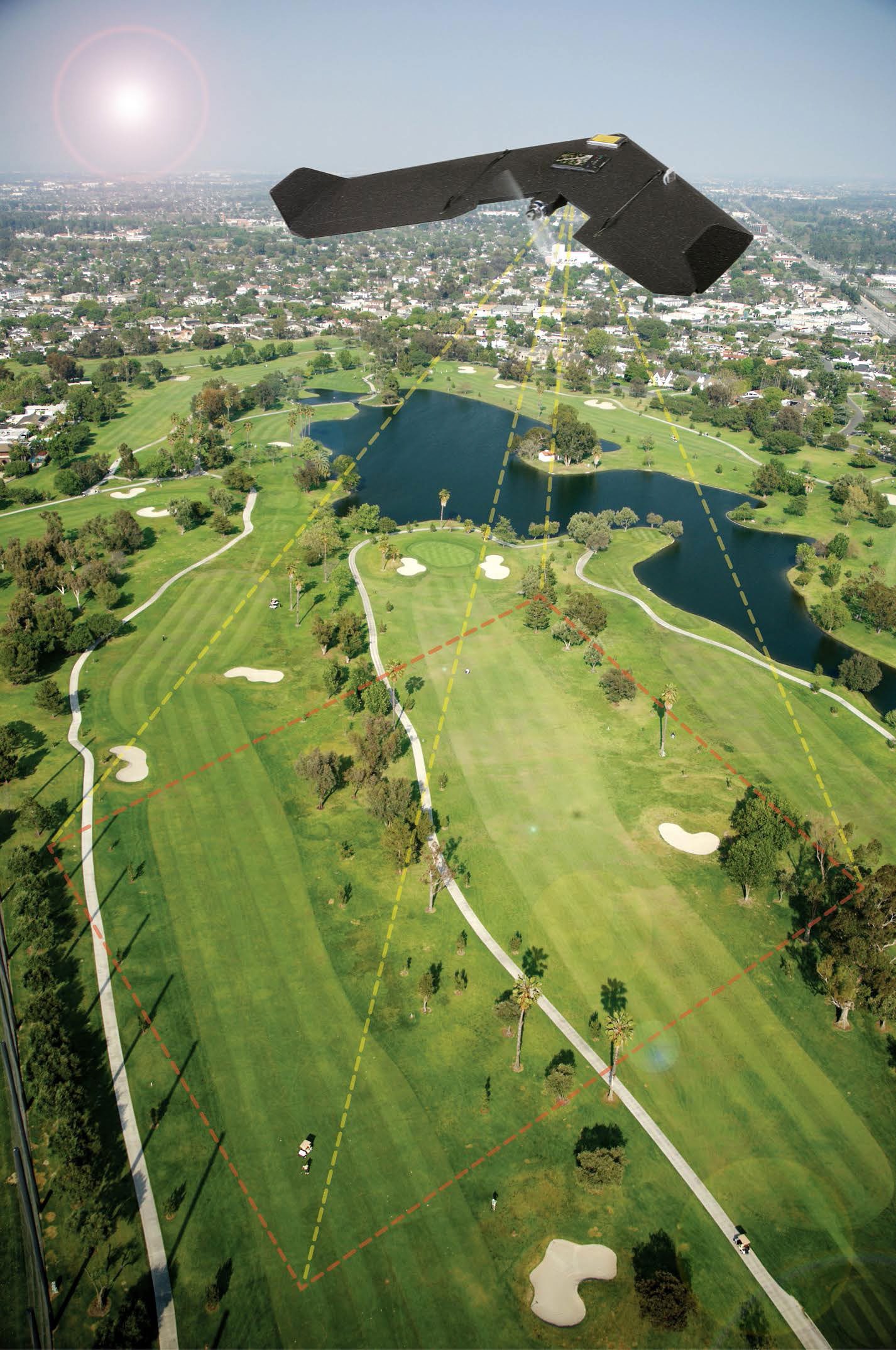
Aerial mapping company Bluesky produced a prototype map showing where it may be unsafe or even illegal to fly Unmanned Aerial Vehicles (UAVs), commonly referred to as drones. Bluesky combined expertise in flight planning and 3D aerial mapping with various geographic datasets to come up with the concept of a UAV Flight-Restriction Map for the United Kingdom (UK).

Marine Plankton Brighten Clouds over Southern Ocean

Marine Plankton Brighten Clouds over Southern Ocean

New research using NASA satellite data and ocean biology models suggests tiny organisms in vast stretches of the Southern Ocean play a significant role in generating brighter clouds overhead. Brighter clouds reflect more sunlight back into space, affecting the amount of solar energy that reaches Earth's surface, which in turn has implications for global climate.

Planet Labs to Acquire BlackBridge

Planet Labs to Acquire BlackBridge

On July 15, 2015, BlackBridge, a provider of satellite imagery and geospatial solutions, entered a definitive agreement for Planet Labs to acquire the RapidEye suite of core offerings. Planet Labs designs, builds and operates a fleet of Earth-imaging satellites.

Next-Generation European Weather Satellite Launched

Next-Generation European Weather Satellite Launched

Europe successfully launched its next-generation Meteosat weather satellite on July 15, 2015, from Europe's Spaceport in Kourou, French Guiana. The MSG-4 will rise into geostationary orbit 36,000 kilometers above the equator, providing up-to-date weather coverage over Europe and Africa every 15 minutes, and rapid scan imagery over Europe every five minutes.

FireWatch Uses Space-Age Cameras

FireWatch Uses Space-Age Cameras

The German forest-fire detection effort has a new and more-effective input after installing a series of FireWatch cameras developed by the German Aerospace Center (DLR). More than 150 such cameras, based on technology used on space missions, have been installed in five German states.

NASA's New Blue Marble

NASA's New Blue Marble

This Blue Marble image is the first fully illuminated snapshot of Earth captured by the DSCOVR satellite, which will capture and transmit full images of Earth every few hours. The information will help examine a range of Earth properties, such as ozone and aerosol levels, cloud coverage, and vegetation density, supporting a number of climate-science applications.

NEWEST V1 MEDIA PUBLICATION

April Issue 2024