July – August 2016 Table of Contents

July – August 2016 Table of Contents

For what SmallSats lack in size, they more than make up for in quantity and breadth of coverage, and that goes beyond just their physical dimensions. Along with unmanned aerial systems (UASs or drones), SmallSats (which have several related subsets such as cubesats, nanosats, microsats and others) seem to dominate headlines and conversations in Earth-observation industries and media.
Industry Insights: Enabling Cloud-Based Augmented Reality Networks

Industry Insights: Enabling Cloud-Based Augmented Reality Networks

The concept of cloud-based augmented reality (AR) is on the precipice of fundamentally changing organizational decision making for all types of industries. However, with any new technological frontier, there are many innovative startups vying to take the lead in the practical, commercial application of AR. And this is exactly what's happening today, with the geospatial sector being on the forefront of this technology frontier.

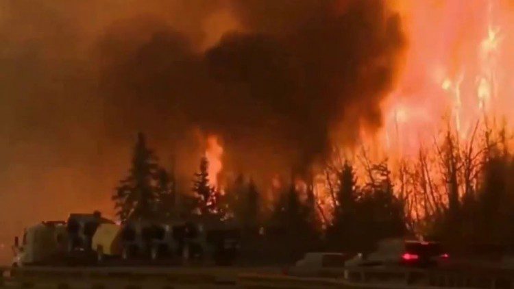
Canada's Costly Fort McMurray Wildfire

Canada's Costly Fort McMurray Wildfire

The Fort McMurray wildfire, which was first reported on May 1, 2016, and not declared under control until July 5, 2016, destroyed more than 2,400 homes and buildings and forced the evacuation of 80,000 people in Alberta, Canada. Although no one died directly from the fire, it is expected to be one of the most-expensive natural disasters in Canada's history, with insurance and firefighting costs expected to reach up to $5 billion, a figure large enough to negatively impact the country's overall economy.

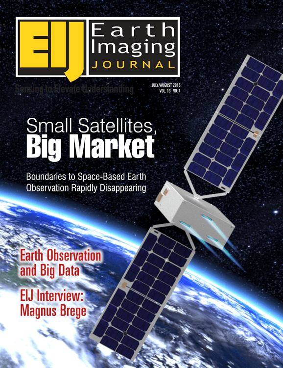
Small Satellites, Big Market: Boundaries to Space-Based Earth Observation Rapidly Disappearing

Small Satellites, Big Market: Boundaries to Space-Based Earth Observation Rapidly Disappearing

For what SmallSats lack in size, they more than make up for in quantity and breadth of coverage, and that goes beyond just their physical dimensions. Along with unmanned aerial systems (UASs or drones), SmallSats (which have several related subsets such as cubesats, nanosats, microsats and others) seem to dominate headlines and conversations in Earth-observation industries and media.

NGA Director Cardillo Declares GEOINT on the Rise

NGA Director Cardillo Declares GEOINT on the Rise

The agency I'm privileged to lead celebrates a major anniversary this fall. It's been a remarkable 20 years”from NIMA stand-up to NGA transition to the GEOINT Revolution. And I can proudly”and confidently”say that GEOINT is on the rise, more relevant than ever to our customers today and poised for a tomorrow that's filled with possibility.

Are UASs More Like PCs or Macs?

Are UASs More Like PCs or Macs?

Because I'm a land surveyor by background, I keep thinking it's the UAS that's important; the manufacturer matters, in the same way the choice of total station or laser scanner often comes down to a preference for Leica or Trimble. But Airware (and other firms) argue that UASs are more like a commodity, and that the real value of UASs for businesses lies in the systems installed on the vehicle.

May – June 2016 Table of Contents

May – June 2016 Table of Contents

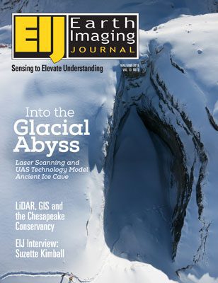
Working in difficult and frozen conditions 3,000 meters above sea level, with only a small time window due to changing weather and potentially melting surroundings, explorers, photographers and scientists used a laser scanner, an unmanned aerial system (UAS) vehicle and cameras to map out The Abyss of Cenote, one of the largest glacial caves in the Italian Dolomites.

NEWEST V1 MEDIA PUBLICATION

August Issue 2024