Drones and New Applications for Precision Agriculture

Drones and New Applications for Precision Agriculture

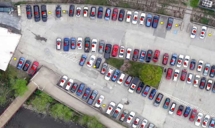
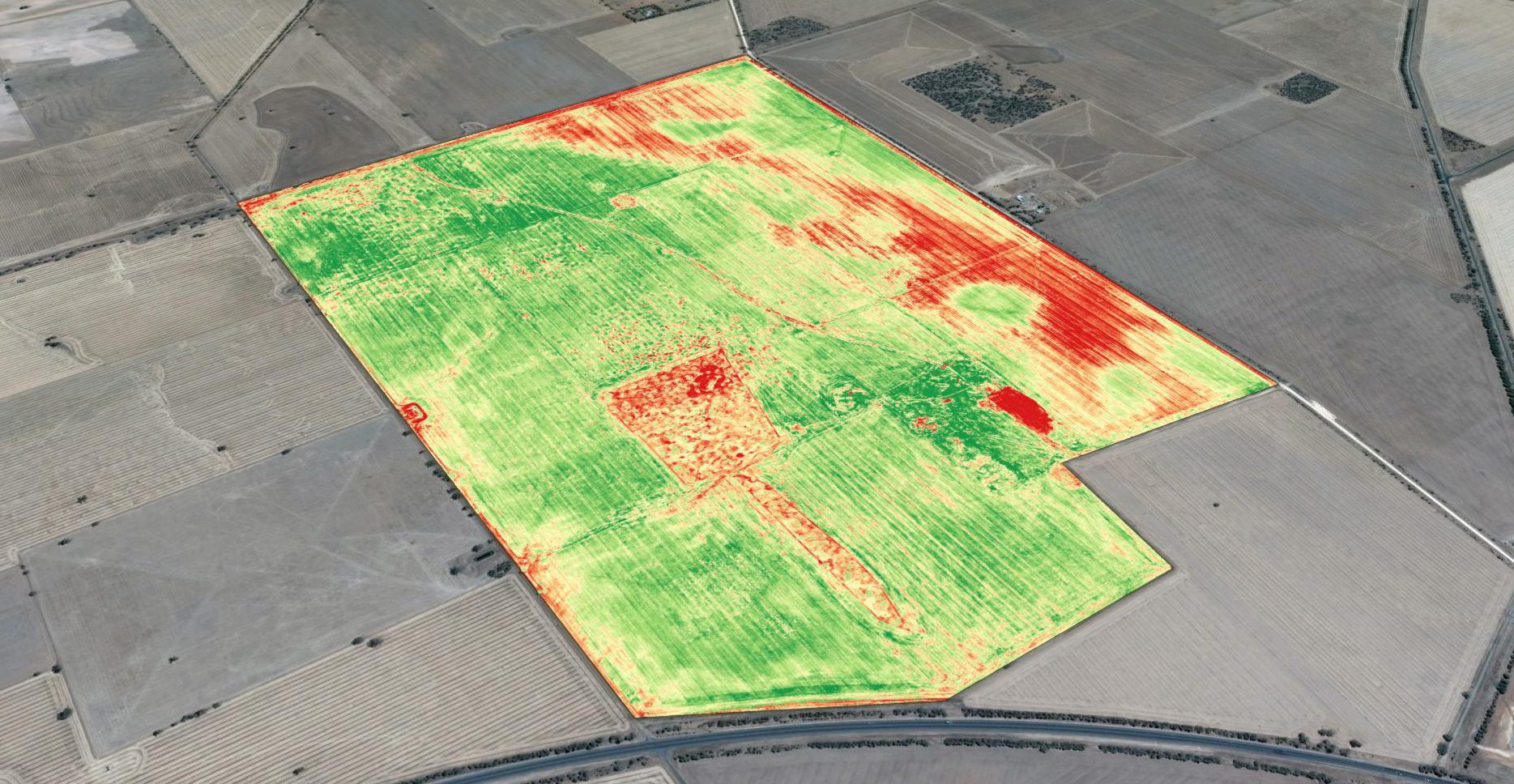
Basic crop scouting from drones provides a major improvement over how field surveys previously were done, and it's the primary driver for drone-technology adoption. Crop scouts traditionally were employed to walk farm fields to monitor crop condition. This is hot, time-consuming work, and crop scouts have difficulty visiting even a small percentage of a whole field, easily missing problem areas.

Industry Overview: Are You Poised for Opportunity?

When looking at all the coming changes to the geospatial technology tools and inputs that are emerging and immediately over the horizon, there's a mixed feeling of excitement and trepidation. How will all of these new data-collection platforms, workflows and analytics impact the world of today's practitioners as well as the vendor community?

Mapping Forest Loss with Landsat

Mapping Forest Loss with Landsat

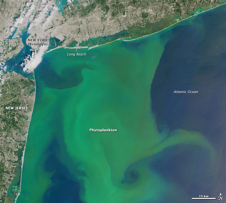
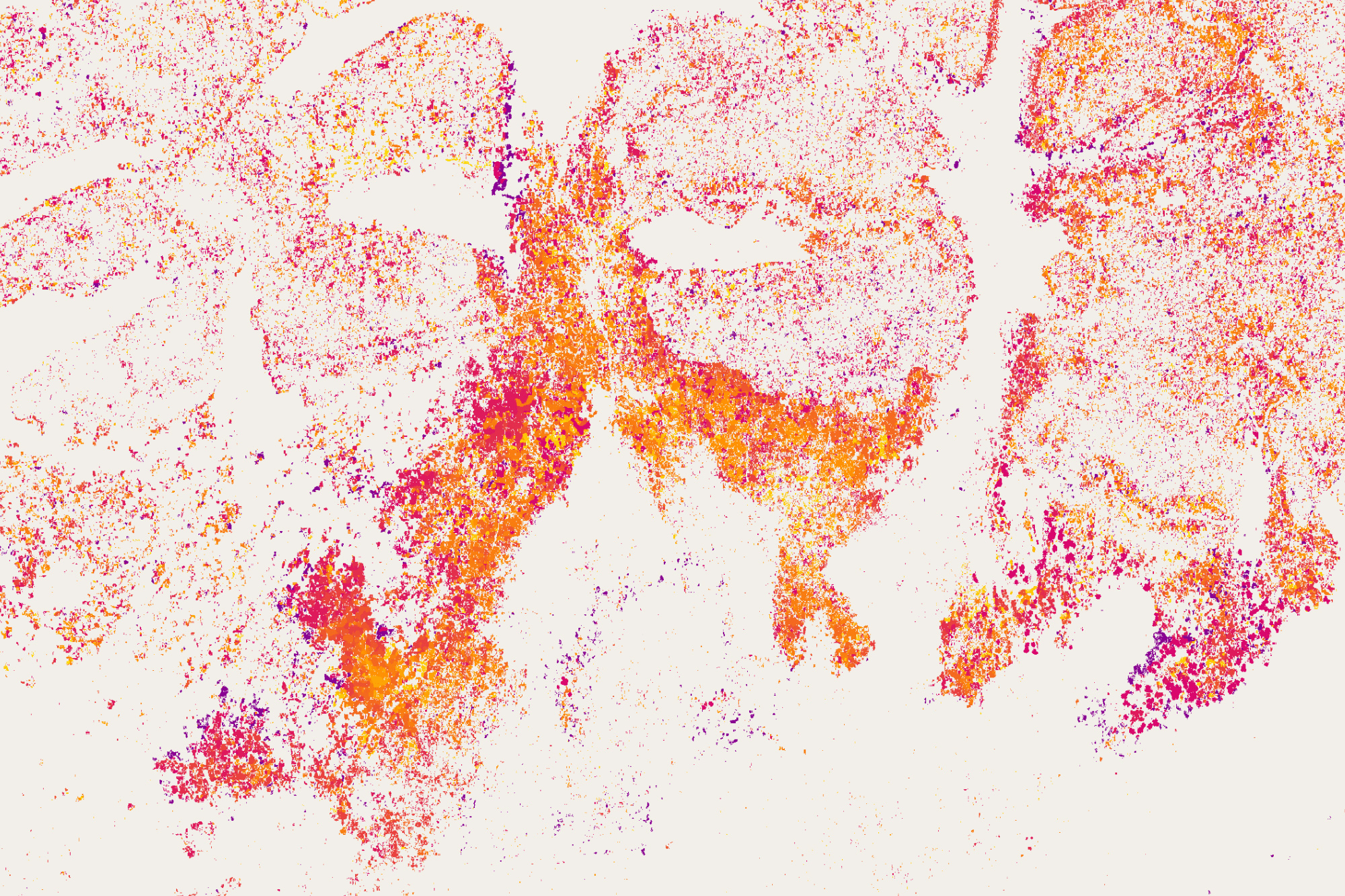
With at least one image of every location on Earth per season for 43 years, the Landsat data archive contains more than 50 trillion pixels. So how could you put all of that imagery to use in discovering and monitoring subtle changes on Earth? One answer lies in the...

NEWEST V1 MEDIA PUBLICATION

April Issue 2024