When commodity markets are fragile, it's important for companies, banks and countries to understand how the supply and prices of natural resources are affected by local and global conditions.

When commodity markets are fragile, it's important for companies, banks and countries to understand how the supply and prices of natural resources are affected by local and global conditions.

Having spent most of my professional career in the Washington, D.C., area, I've learned some lessons about how the U.S. government works”or doesn't. One frustrating phenomenon is the false narrative: when a story at odds with reality is developed about a particular situation.

The Earth-observation (EO) market enjoys a strong diversity of civil and commercial applications. And use cases will continue to increase, as the capacity for satellite-based observations is projected to explode this coming decade, with the launch of 80 percent more...
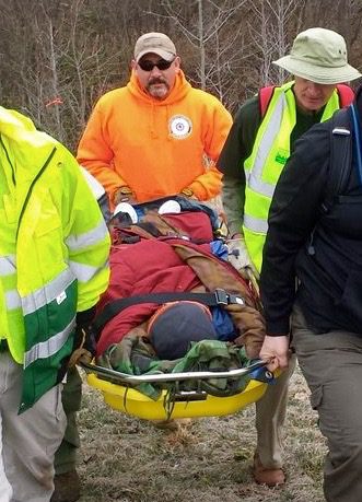
As with any first responders, getting relevant data about the situation is important, but understanding what the data mean is something completely different. Data analysis comes down to two things: speed and meaning.

More industry and academia collaboration, easier points of entry for a wider audience to interact in the agency's tradecraft and business practices, and initiatives creating a larger public conversation ” all signs welcoming outsiders to a state of greater transparency at NGA.
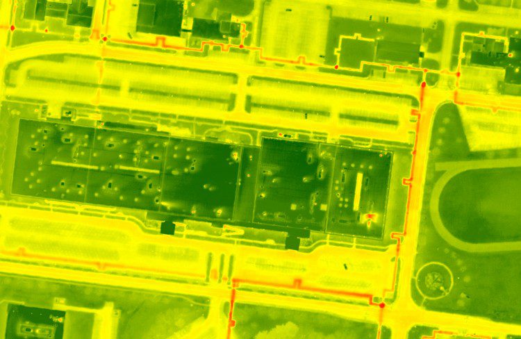
As traditional imagery becomes more of a commodity in the mapping industry, professionals are exploring new ways to utilize different sensors in a geospatial context. Thermal imagery is a promising technology that can benefit a variety of applications, although it remains underutilized in large-scale geographic acquisitions.
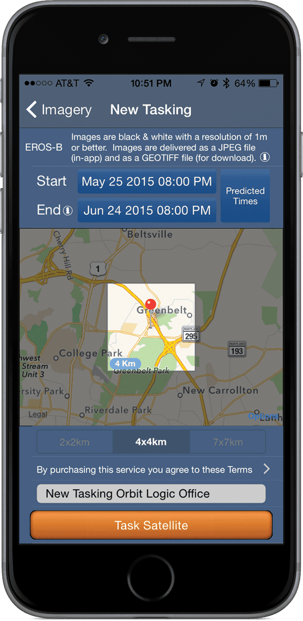
Space often is viewed as a high-tech futuristic dream available only to the world’s top-notch scientists. Online satellite maps, TV and GPS have snuck into common usage, but with the controlling powers being large companies or institutions. But we’re now at a...
Ambitious statewide use of LiDAR is a natural progression for the technology, as the realism of such data dramatically improves human understanding.
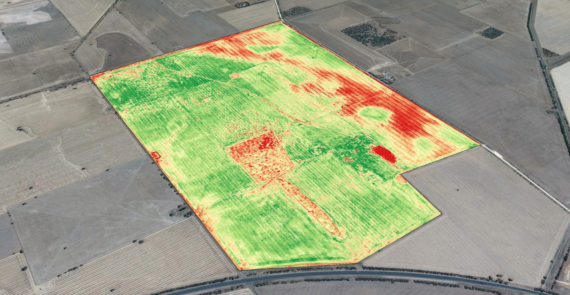
Basic crop scouting from drones provides a major improvement over how field surveys previously were done, and it's the primary driver for drone-technology adoption. Crop scouts traditionally were employed to walk farm fields to monitor crop condition. This is hot, time-consuming work, and crop scouts have difficulty visiting even a small percentage of a whole field, easily missing problem areas.
By Chris Crosiar, Office of Basic and Applied Research, National Geospatial-Intelligence Agency (www.nga.mil), Springfield, Va. In my experience as a research and development scientist at the National Geospatial-Intelligence Agency, I recall a time when the mention of...
