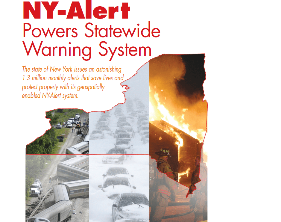
The New York state Department of Homeland Security and Emergency Services (DHSES) needed a way to alert the entire population of New York State—more than 19 million people—in the event of an emergency. The solution came in the form of a powerful tool called...
LiDAR Offers Faster, Less Expensive Field Data
The Missouri Department of Transportation is benefiting from a range of LiDAR-based mapping methods. Â By George Kopp, P.E., Missouri Department of Transportation (http://www.modot.mo.gov/), Jefferson City, Mo. ollecting data to design Missouri Department of...
Reduce Data Overload
By Dr. Craig A. Knoblock, Geosemble Technologies (http://www.geosemble.com)Â Manhatten Beach, Calif. Data overload is a major problem for organizations, and the problem is getting worse across all industries. Recent IDC research indicates that information workers...
Seeking Submeter Success
By Charlotte Gabriel-Robez, Astrium GEO-Information Services (www.astrium-geo.com), Toulouse, France. Pléiades 1, the first of a dual-satellite Earth observation system designed to deliver 50-centimeter color imaging products, was launched successfully...
Building a Network of Homeland Security Drones
Public wireless infrastructure could be leveraged to enable unmanned aircraft-based sensor networks for homeland security. Â By Kai Daniel and Christian Wietfeld, Communication Networks Institute, TU Dortmund University (www.tu-dortmund.de/uni/International),...
Oblique Imagery Offers Powerful Tools for Geospatial Analysis
Geospatial data users are leveraging oblique imagery for a range of innovative applications. By Art Kalinski, GISP, former GISÂ manager for the Atlanta Regional Commission and geospatial military projects consultant, including consulting for Pictometry International...
Taking Operation IceBridge to the Next Level
NASA’s annual Antarctic mission yields record results as researchers dig deeper into a host of factors that impact global warming. By Holli Riebeek, NASA Earth Observatory (http://earthobservatory.nasa.gov), Greenbelt, Md. Additional IceBridge information is ...
Understanding the Benefits of LiDAR Data
How can utilities maximize 3-D modeling? Electrical utilities worldwide are faced with aging and overloaded transmission lines. But with the challenges of acquiring permits and approvals to construct new lines, many utilities concentrate on rating and up-rating...
LiDAR Supports Advanced Geospatial Analysis
Fusing LiDAR’s 3-D feature and elevation data with geospatialimagery creates powerful and accurate mapping applications. By Cherie Darnel, senior technical solutions engineer, Exelis Visual Information Solutions (www.exelisvis.com), Boulder, Colo. Light detection...
State of the Industry Report
What Are the Most Significant Forces Shaping the Remote Sensing Industry? How would you respond to this question? Perhaps even more important, what are the key industry challenges and their possible solutions? Earth Imaging Journal’s staff solicited the professional...