Stuttgart, Germany, September 16, 2015 — senseFly’s global service network, Drone Connector (www.droneconnector.com), now features over 700 professional drone operators, connecting these operators with organisations that require their help to produce...
Significant Supply Expansion for EO Industry; Data Demand Driven by Defense & Emerging Markets
Paris, Washington D.C., Montreal, Yokohama, September 16, 2015 — According to the 8th edition of Euroconsult's newly published report, Satellite-Based Earth Observation: Market Prospects to 2024, over 400 civil and commercial Earth observation (EO) satellites...
SSTL's DMC3 Constellation Demonstrates 1-Metre Capability
September 16, 2015 — The first 1-metre high resolution optical satellite imagery from the DMC3/TripleSat Constellation satellites has been released today. This follows the successful launch of the three Earth Observation mini-satellites on an Indian PSLV in July and...
1Spatial to exhibit at ISPRS Geospatial Week 2015 in France
Paris, September 16, 2015 — 1Spatial, the global spatial software firm which manages the world’s largest spatial data, will be exhibiting on stand 1 at the ISPRS Geospatial Week 2015, from the 29th of September to the 1st of October, in France. The main...
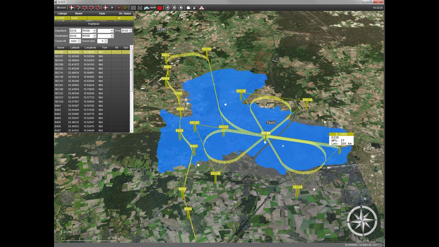
EU Conducting Unmanned Disaster-Monitoring Flights
The European Union has been conducting simulated flood-disaster situations monitored by Unmanned Aircraft System (UAS) technology. The Driving Innovations in Crisis Management for European Resilience (DRIVER) project features a D-CODE research aircraft, a Do-228, circling over the simulated disaster, taking situational images in real time, which rescue workers can use to coordinate the disaster response.
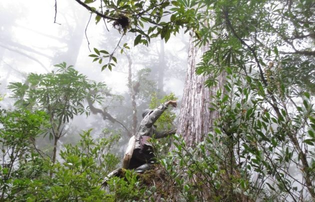
How Many Trees Are on Earth?
According to a tally by an international team of scientists, there are roughly 3 trillion trees on Earth”more than seven times the number previously estimated. The study also finds that approximately 15 billion trees are cut down each year; since the onset of agriculture about 12,000 years ago, the number of trees worldwide has dropped by 46 percent.
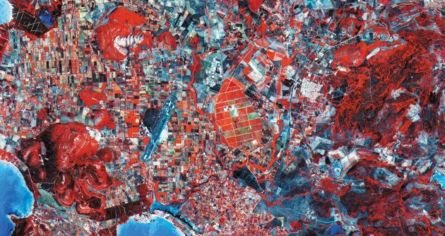
Scientists Calling for Better Methods to Track Global Biodiversity from Space
A collection of worldwide scientists are calling for a global strategy to monitor Earth's biodiversity from space. As biodiversity loss intensifies, traditional means to track biodiversity aren't keeping up, so satellite remote sensing is seen as the key.

Neutrino Map Exposes Nuclear Activity
A map published in Nature Scientific Reports shows what the world would look like if we could see the trillions of neutrinos that emanate from the surface of the planet each second. Dark spots on the map indicate nuclear reactors and parts of Earth's crust rich with radioactive uranium and thorium, which emit neutrinos when they decay.
Hexagon Showcases Geospatial Enterprise Solutions at INTERGEO 2015
September 15, 2015 — Hexagon AB, a leading global provider of information technologies that drive productivity and quality across geospatial and industrial enterprise applications, will showcase its geospatial enterprise solutions starting today at INTERGEO, the...
Applanix Introduces New Entry-Level Direct Georeferencing Solution for Airborne Mapping Applications
Stuttgart, Germany,September 15, 2015 — Applanix Corporation, a world leader in products and solutions for mobile mapping and positioning, announced today the POS AVX™ 210, the latest addition to its airborne position and orientation portfolio for direct...
