Geospatial Companies Join Forces to Fight Wildfires

Geospatial Companies Join Forces to Fight Wildfires

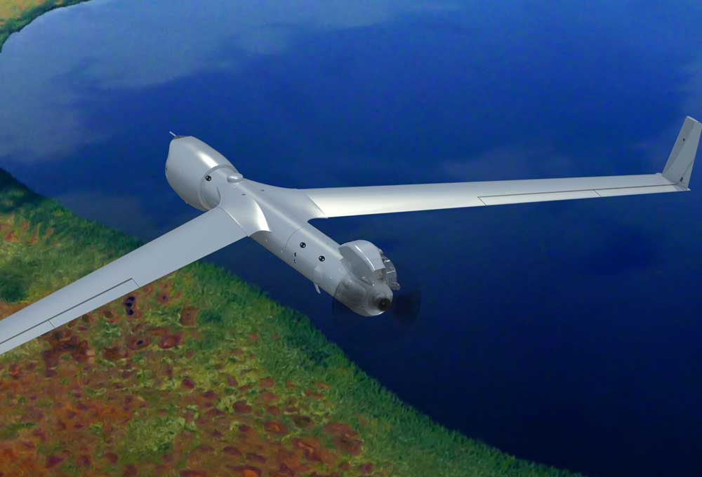
Insitu, FireWhat and Esri partnered to help aerial reconnaissance for fighting wildfires. Insitu's INEXA Solutions professional aerial remote-sensing services group will work with FireWhat's fire professionals, using its GIS customized for firefighters and hosted on Esri's ArcGIS platform.

Proba-V Monitors African Sahel

Proba-V Monitors African Sahel

The European Space Agency (ESA) Proba-V minisatellite recorded the seasonal changes in Africa's sub-Saharan Sahel, which stretches more than 5,000 kilometers across Africa, from the Atlantic Ocean (Senegal, Mauritania) to the Red Sea (Sudan).

Norway Launches NORsat Microsatellites

Norway Launches NORsat Microsatellites

On July 14, 2017, the Space Flight Laboratory (SFL) successfully launched two Norwegian microsatellites developed and built by SFL for the Norwegian Space Centre with support from the Norwegian Coastal Authority, Space Norway and the European Space Agency.

Satellites See One Fire, Two Plumes

Satellites See One Fire, Two Plumes

In July 2017, sweltering temperatures and strong winds fueled intense wildfires in southern California. The fires forced thousands of people to flee their homes, charred dozens of structures, closed roads and darkened skies throughout the region with thick smoke.

Wildfires Light Up Portugal

Wildfires Light Up Portugal

On June 17, 2017, lightning reportedly ignited a deadly wildfire that spread across the mountainous areas of Pedrógão Grande”a municipality in central Portugal located about 160 kilometers northeast of Lisbon.

Pre-Landslide Movements Found on Radar

Pre-Landslide Movements Found on Radar

On May 20, 2017, more than a million tons of dirt and rock buried part of California's Highway 1 along the Pacific coastline in the state's Big Sur region. In addition to cutting off the route, the landslide added some 12 acres of land to the shoreline.

NEWEST V1 MEDIA PUBLICATION

April Issue 2024