On Aug. 24, 2011, a lightning storm started a cluster of wildfires in Oregon's Cascade Mountains. By Sept. 1, the fires had burned through more than 90,000 acres of forest, grass and brush.
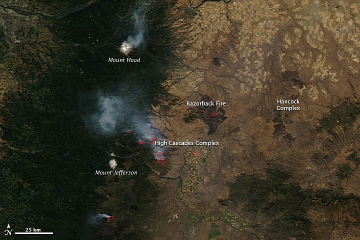

On Aug. 24, 2011, a lightning storm started a cluster of wildfires in Oregon's Cascade Mountains. By Sept. 1, the fires had burned through more than 90,000 acres of forest, grass and brush.
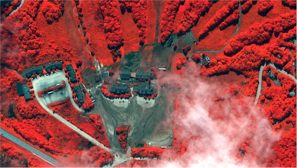
An assortment of images from NASA, NOAA and DigitalGlobe provide examples of the different types of Earth imagery employed to track hurricanes and monitor the damage left behind.

Here's a comprehensive look at Bab al-Azizia, Libyan dictator Moammar Gadhafi's heavily fortified Tripoli sanctuary, in a series of GeoEye-1 satellite images”includes expert commentary by IHS Jane's Allison Puccioni.

Next year the company plans to launch the first of what it hopes will be a constellation of 12 to 24 smallsats capable of acquiring high-resolution images of Earth.
Paris-based EuroConsult estimates 1,145 satellites, with a value of nearly $200 billion, will be built for launch during the next 10 years, representing a 51 percent increase from the previous decade.
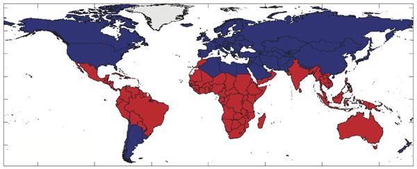
Natural climate cycles seem to have a striking influence on war and peace around the equator. Tropical countries face double the risk of armed conflict and civil war breaking out during warm, dry El Niño years than during cooler La Niña years, according to an analysis published in Nature.

The company yesterday introduced its lightweight backpack-sized Shrike vertical take off and landing unmanned aircraft system.
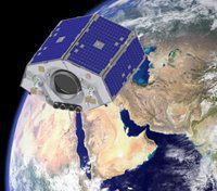
On Aug. 17, 2011, Surrey Satellite Technology Limited successfully launched the
NigeriaSat-2 and NigeriaSat-X satellites, which will provide Nigeria with the ability to enhance food security through monthly crop monitoring.
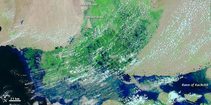
On Aug. 18, 2011, The Express Tribune reported that the city of Badin in Pakistan's Sindh Province had disappeared under five feet of flood water.
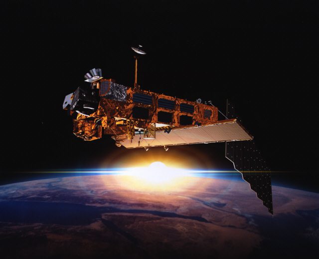
Scientists at the University of Leicester are developing advanced satellites to track and map invisible airborne pollutants the World Health Organization says are responsible for 2 million premature deaths a year.