Southern Italy and Sicily from Space Station

Southern Italy and Sicily from Space Station

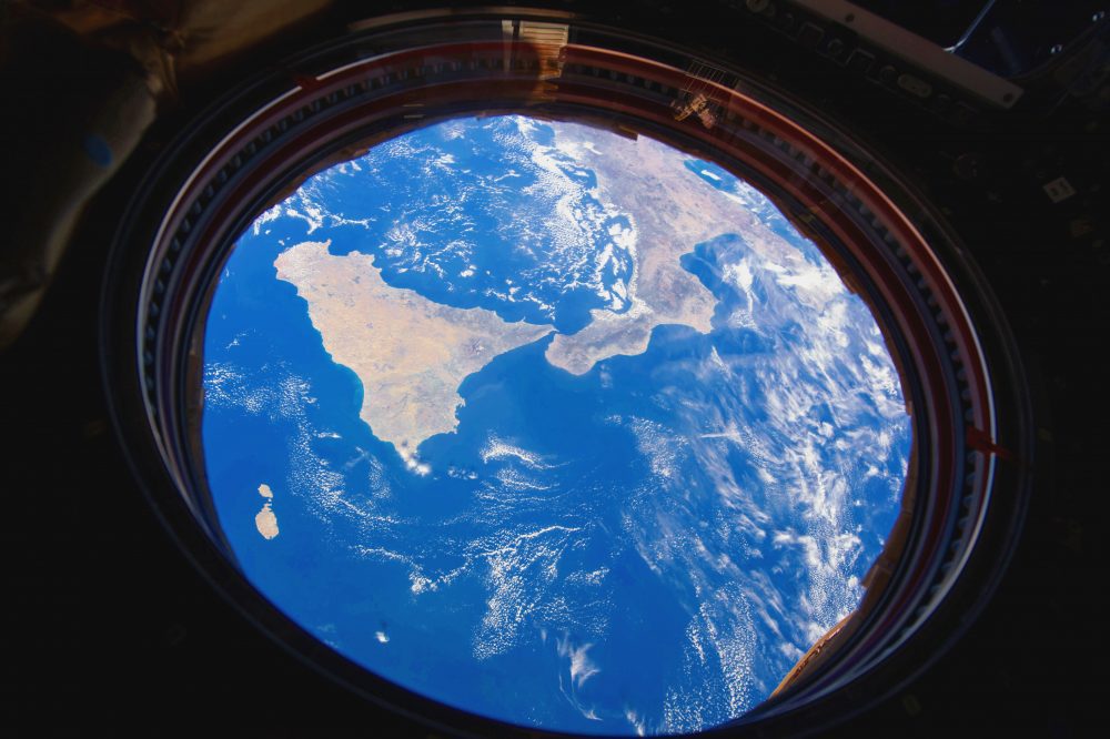
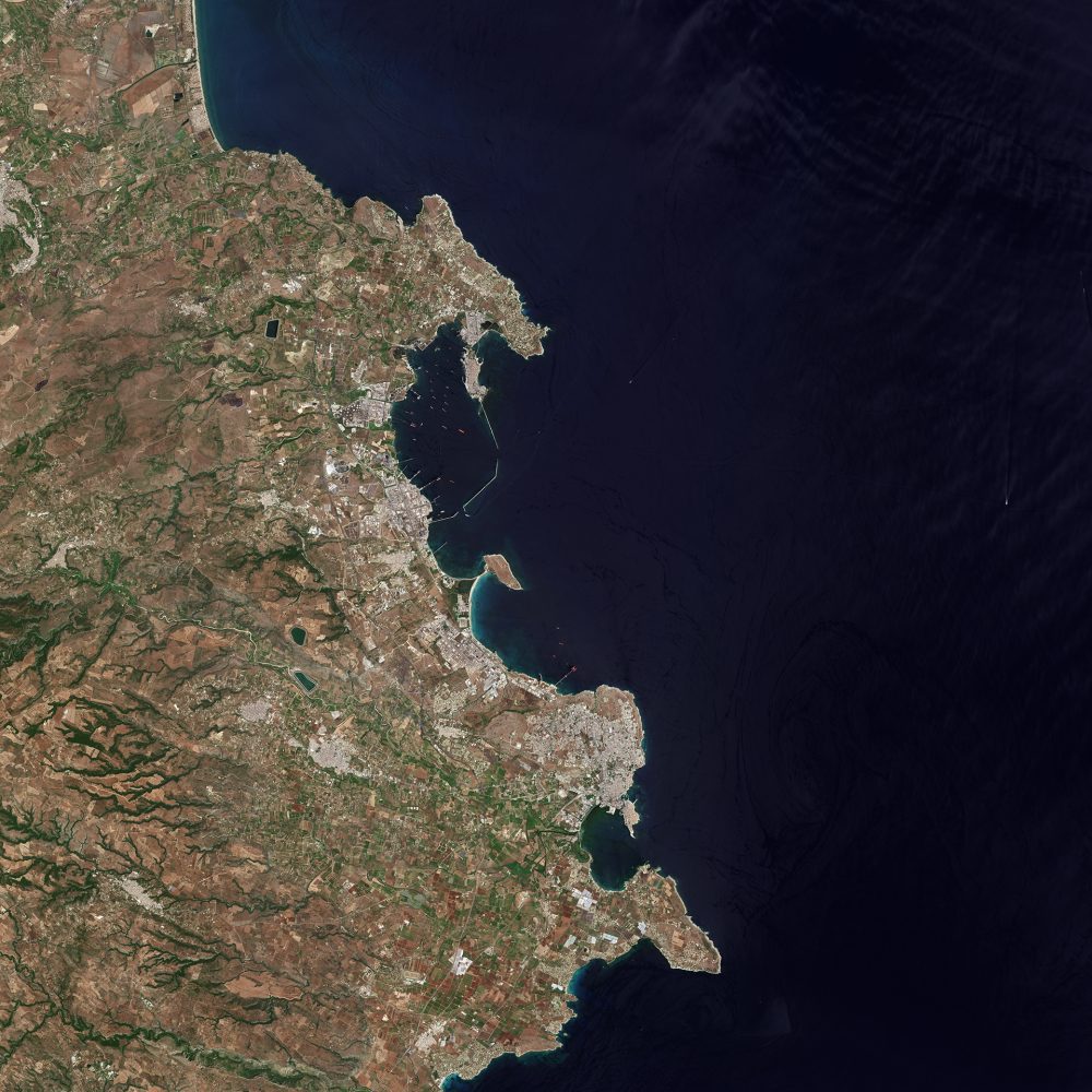
A photo of Southern Italy and Sicily was captured by ESA astronaut Paolo Nespoli aboard the International Space Station. Nespoli currently is working and living aboard the International Space Station as part of the Italian Space Agency long-duration mission VITA....

African Land Cover

African Land Cover

A 20-meter-resolution land-cover classification map of Africa was created using 180,000 Copernicus Sentinel-2A images captured between December 2015 and December 2016.

Melting Greenland Glacier

Melting Greenland Glacier

The European Space Agency (ESA) Copernicus Sentinel-2A satellite collected this false-color image over the jagged islands along the west coast of Greenland on Aug. 8, 2017.

Hurricane Maria

Hurricane Maria

On Sept. 24, 2017, the VIIRS instrument aboard NASA-NOAA’s Suomi NPP satellite provided this visible image of Hurricane Maria when it was northeast of Bahamas and east of the Florida east coast.

Hurricane Irma

Hurricane Irma

NASA-NOAA's Suomi NPP Satellite provided a night-time and infrared look at Hurricane Irma, revealing the power under the clouds. NASA's GPM also provided a look at the rainfall being generated by the storm.

NEWEST V1 MEDIA PUBLICATION

April Issue 2024