An international scientific team recently published a new map of the ocean floor based on Earth's gravity field to help submariners and ship captains with navigation, particularly in previously uncharted areas.
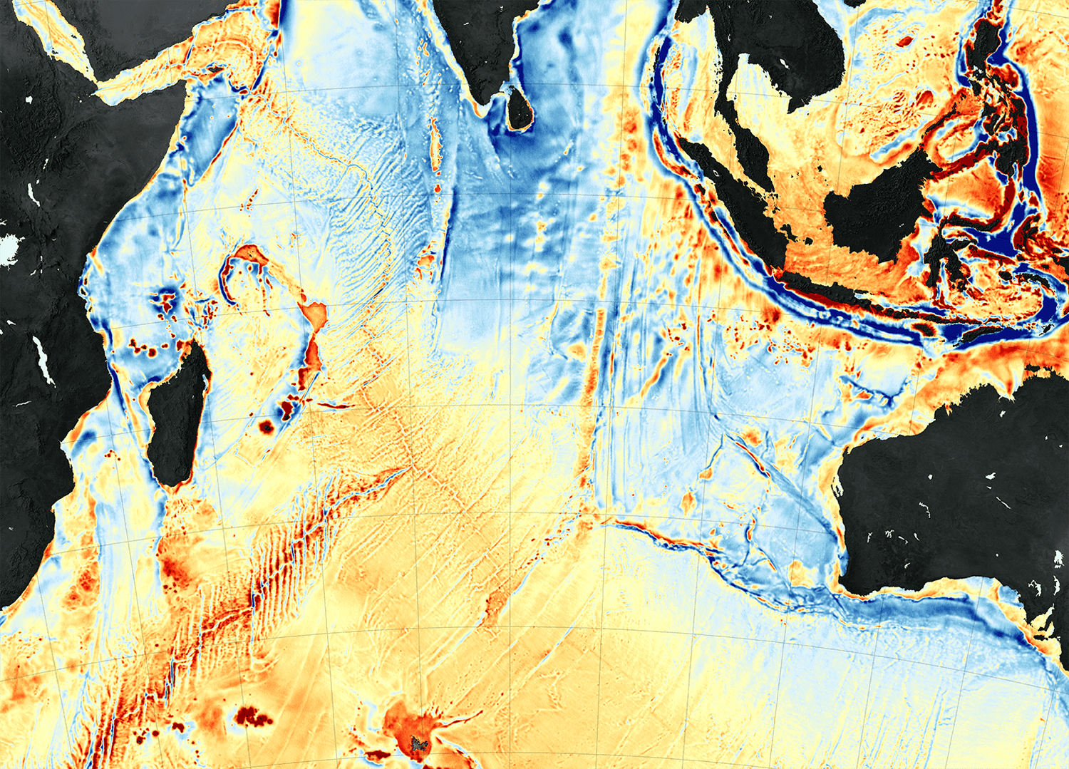

An international scientific team recently published a new map of the ocean floor based on Earth's gravity field to help submariners and ship captains with navigation, particularly in previously uncharted areas.
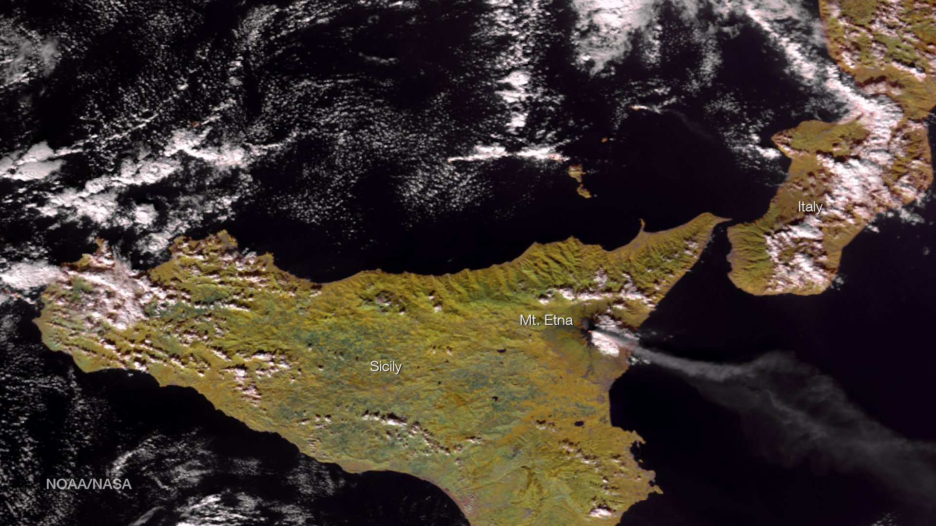
The National Oceanic and Atmospheric Administration (NOAA) released its commercial space policy, which sets a broad framework for agency use of commercial space-based approaches.
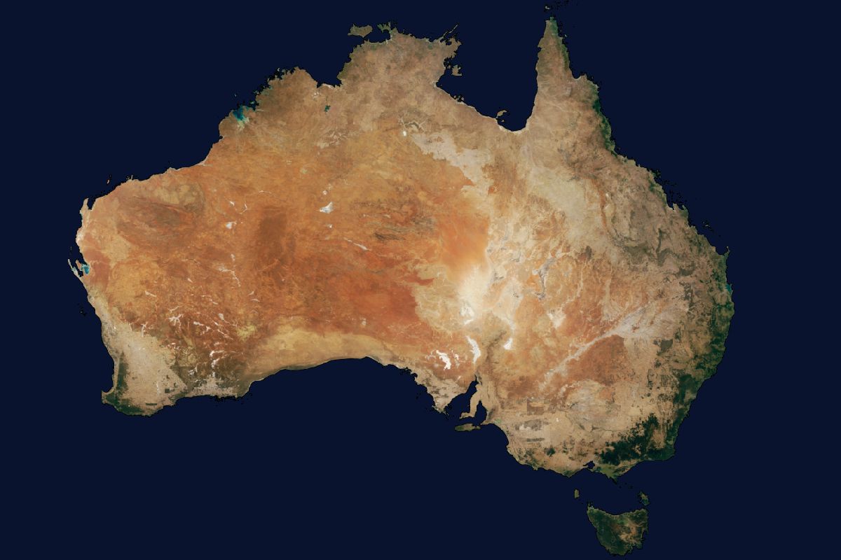
Australian company geoshepherds created a complete Landsat 8 Mosaic (L8M) of Australia, consisting of more than 7.6 million square kilometers of imagery that has been orthorectified, radiometrically color balanced and pansharpened.
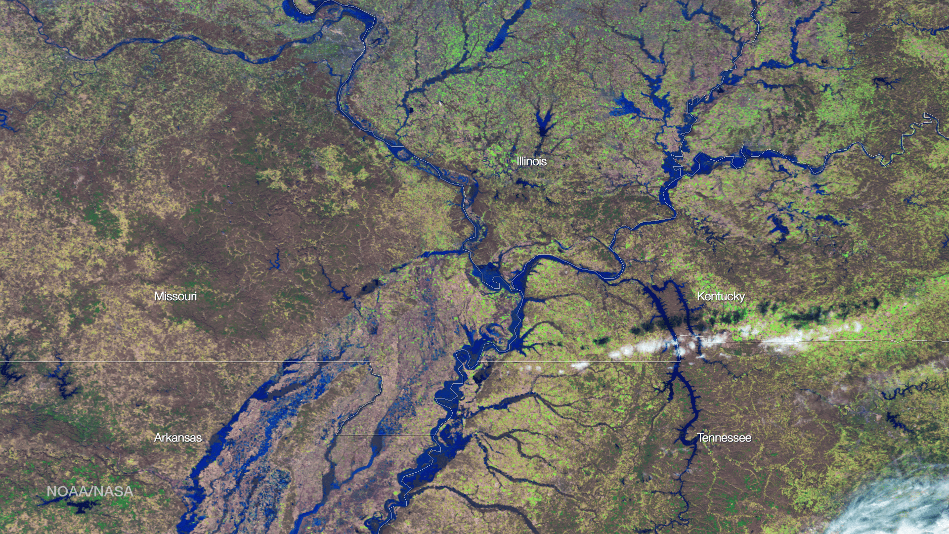
The Mississippi River Valley has been experiencing record floods after a series of storms brought heavy rains to the region in late December 2015. The torrential rainfall pushed some parts of the Mississippi River and its tributaries to record-high levels, particularly for the time of year.
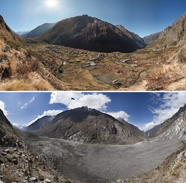
Scientists with the Global Land Ice Measurements from Space (GLIMS) network, an international consortium of glaciologists, used satellite imagery to search for landslides after the April 25, 2015, earthquake that claimed more than 9,000 lives in four countries, primarily Nepal.
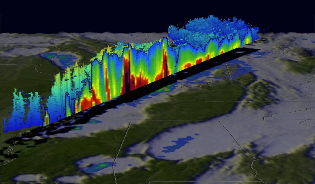
The Global Precipitation Measurement (GPM) satellite, an international mission between NASA and the Japan Aerospace Exploration Agency, analyzed extreme weather that affected the United States between Dec. 23-27, 2015.
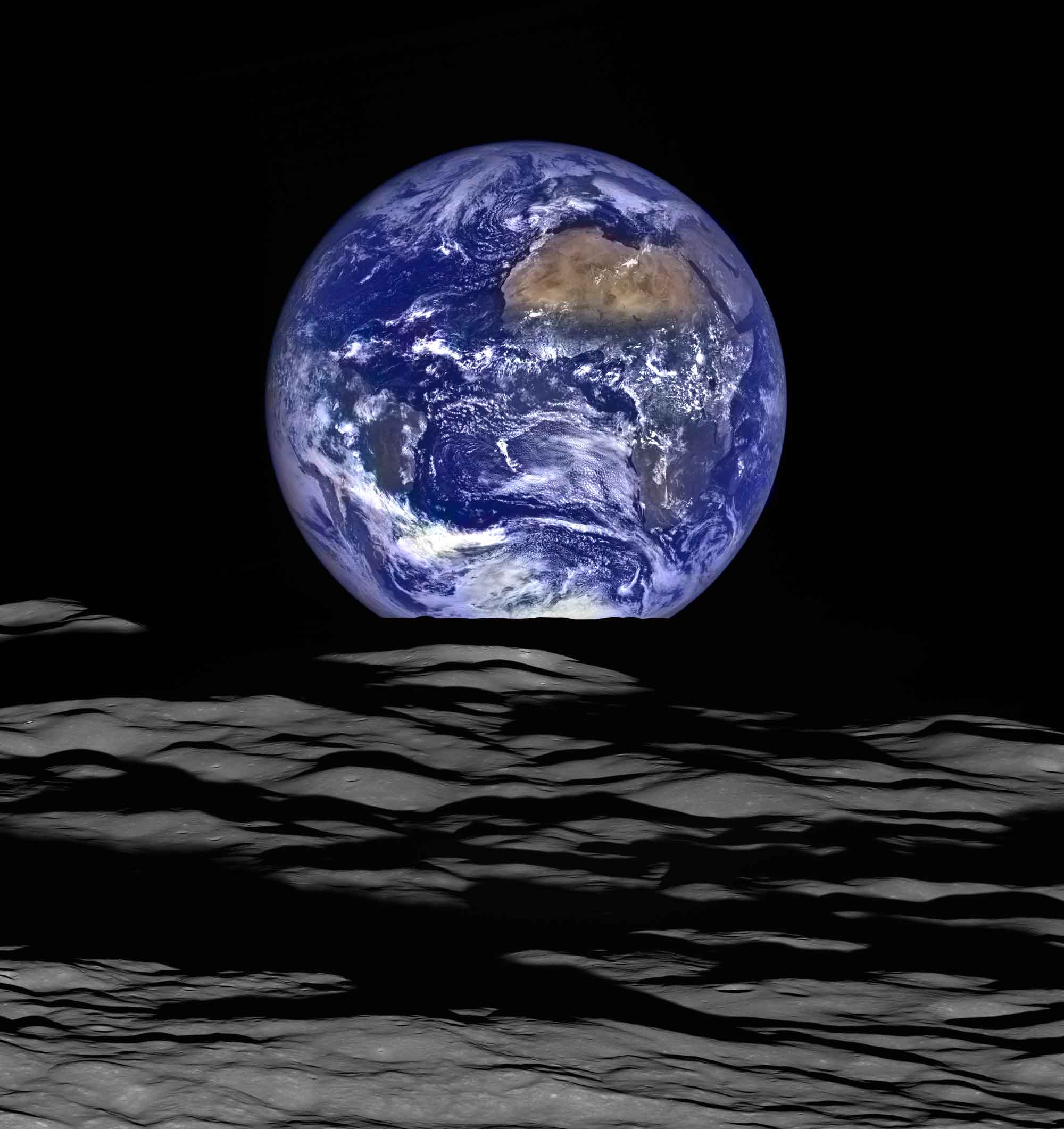
Near the 47th anniversary of the iconic Earthrise image captured by Apollo 8 astronauts while they orbited the Moon on Dec. 24, 1968, the modern Lunar Reconnaissance Orbiter Camera (LROC) broadcast new images that show a similar scene, with the Moon in the foreground and the distant Earth in the background.

Elders of the indigenous Cree First Nation of Waswanipi people of Broadback Valley in Quebec, Ontario, Canada, have been fighting to protect their land from logging so it can remain in place for future generations.
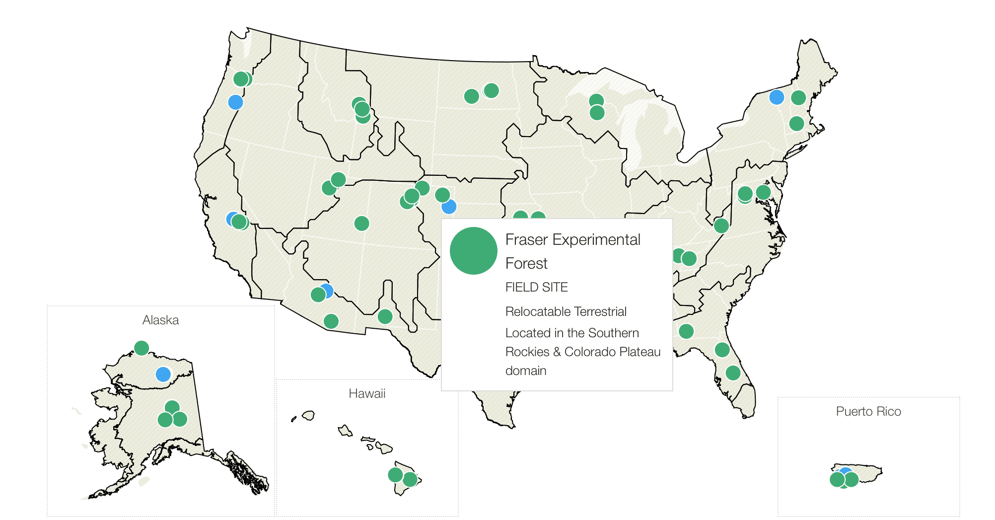
The National Science Foundation (NSF) is seeking a new organization to build its National Ecological Observatories Network (NEON), as it has lost confidence in NEON Inc., which has been running the project since its inception in 2007.

Scientists from the German Aerospace Center (DLR) are investigating the complex processes involved in climate change and their impact on the polar atmosphere using the High Altitude and Long Range (HALO) research aircraft.