For the first time in India, a state government is using satellites to assess lost crops so farmers can benefit from speedy insurance payouts.
For the first time in India, a state government is using satellites to assess lost crops so farmers can benefit from speedy insurance payouts.
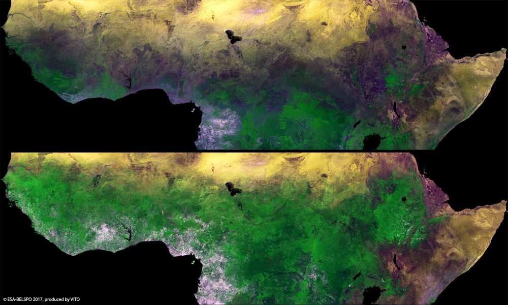
The European Space Agency (ESA) Proba-V minisatellite recorded the seasonal changes in Africa's sub-Saharan Sahel, which stretches more than 5,000 kilometers across Africa, from the Atlantic Ocean (Senegal, Mauritania) to the Red Sea (Sudan).
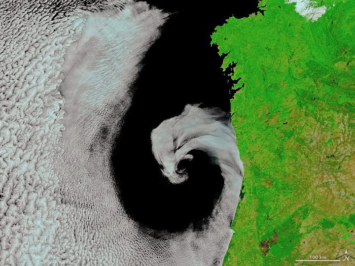
On July 16, 2017, the Moderate Resolution Imaging Spectroradiometer (MODIS) on NASA's Terra satellite captured this image of cyclonic rotation off the coast of Portugal.
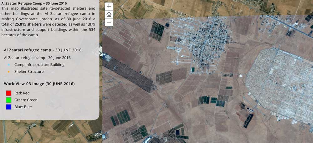
The United Nations Institute for Training and Research (UNITAR), through its Operational Satellite Applications Programme (UNOSAT), and Radiant.Earth agreed to explore new Earth observation data innovations supporting humanitarian disaster management, global health, climate change, sustainable water management and cultural heritage.
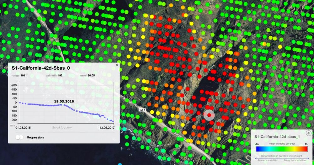
On May 20, 2017, more than a million tons of dirt and rock buried part of California's Highway 1 along the Pacific coastline in the state's Big Sur region. In addition to cutting off the route, the landslide added some 12 acres of land to the shoreline.
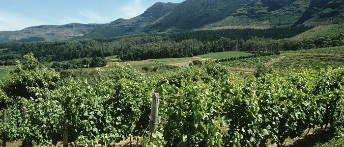
Noveltis, a French company, has been using SimActive's Correlator3D software to help with precision viticulture. Based on multispectral drone imagery, mapping products are generated to determine vine health and detect missing plants.

Earth-i teamed with WeatherSafe to support coffee farmers of Burundi through Earth-i's ACCORD program, which combines high-resolution satellite imagery with crop analysis to provide stakeholders with critical insights on key coffee farming decisions to improve crop quality, thereby supporting sustainable growth for coffee farmers large and small.
East View Geospatial is teaming with Planet and the World Bank to identify unplanned urbanization in specific developing areas using satellite imagery. Starting in mid-2017, East View Geospatial will begin calculating and detecting change to the Floor Space Index...
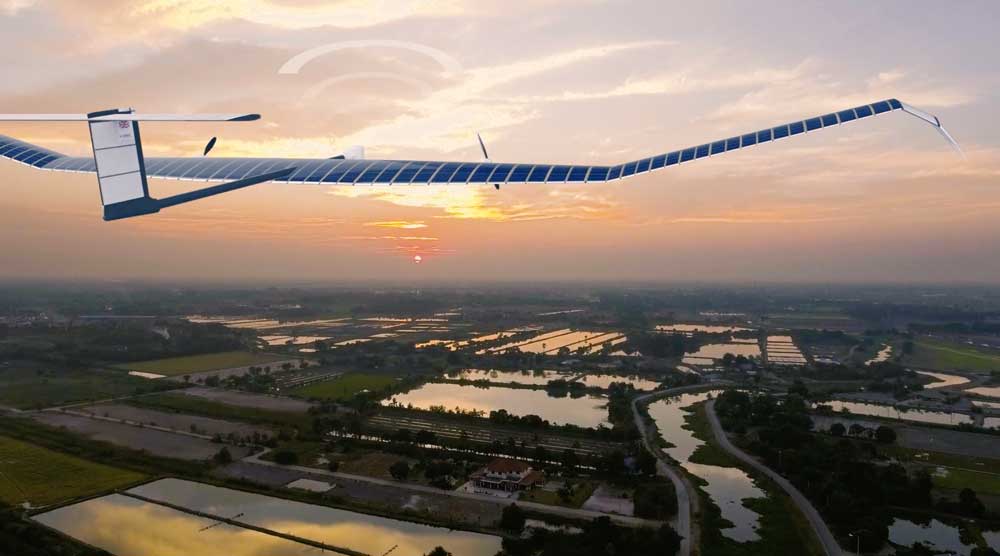
Airbus recently launched its U.S. base and operations of a new commercial drone startup: Airbus Aerial. With bases in the United States and Europe, Airbus Aerial's initial business will focus on developing new imagery services that leverage software and aerospace technology to offer actionable data and analysis of information provided by drones, satellites, high-altitude aircraft and other sources.
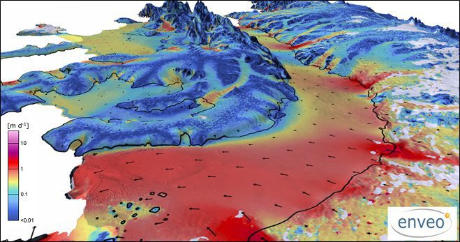
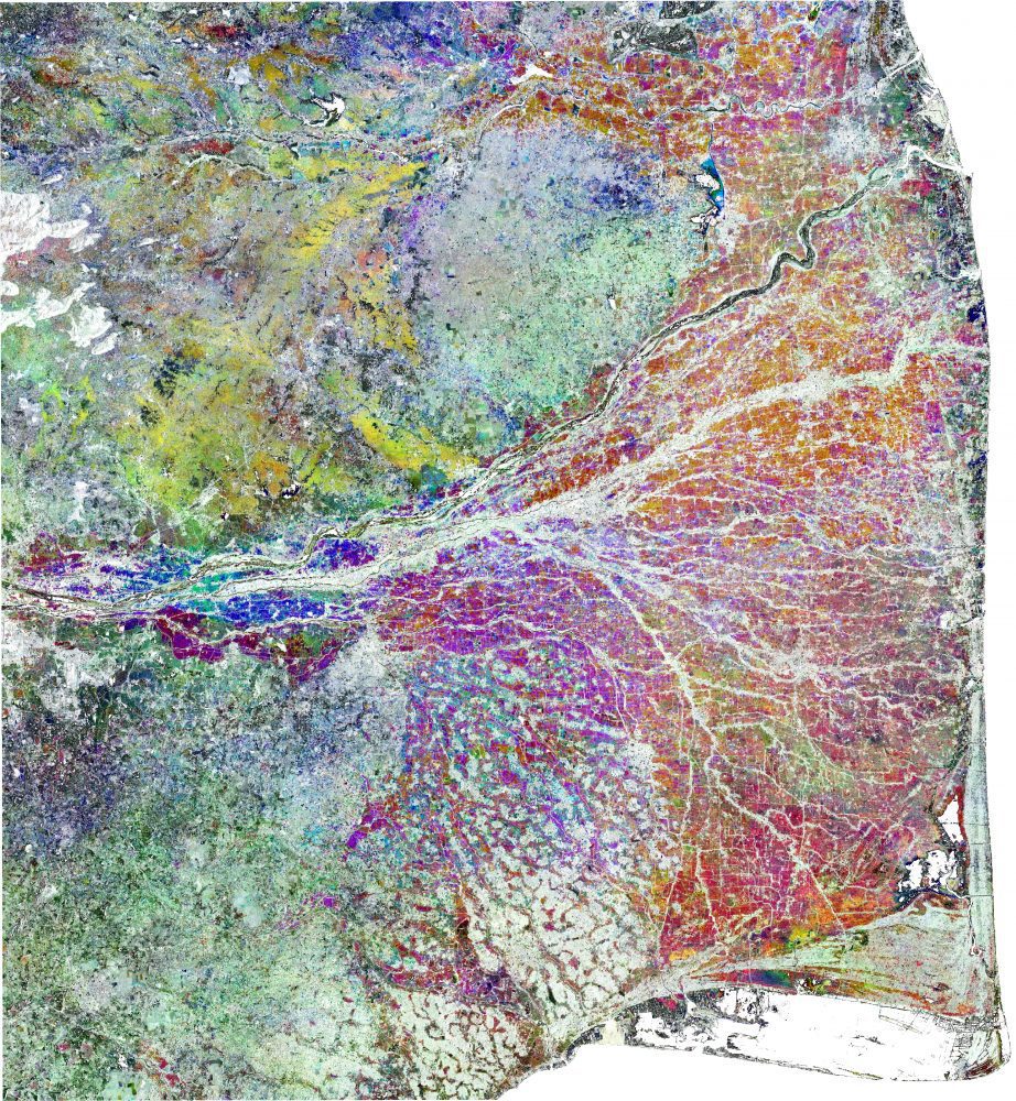
More than two decades of observations by five radar satellites show the acceleration of ice loss of 30 glaciers in Western Palmer Land in the southwest Antarctic Peninsula.
