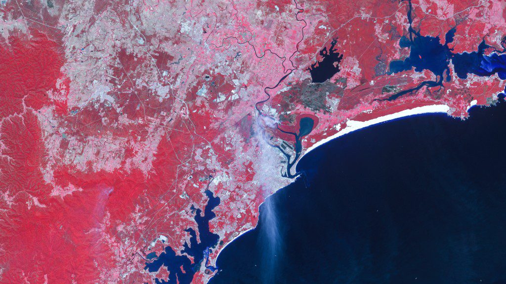
On Nov. 11, 2013, the European Space Agency's GOCE satellite reentered Earth's atmosphere on a descending orbit pass across Siberia, the western Pacific Ocean, the eastern Indian Ocean and Antarctica.

On Nov. 11, 2013, the European Space Agency's GOCE satellite reentered Earth's atmosphere on a descending orbit pass across Siberia, the western Pacific Ocean, the eastern Indian Ocean and Antarctica.
With more intense wildfire conditions predicted by experts, satellite imagery from the DMC constellation monitors fire damage and can assist planning for wildfire management.

On Nov. 7, 2013, the Federal Aviation Administration (FAA) released a roadmap highlighting the operational goals and safety issues we need to consider when planning for the future of our airspace.”
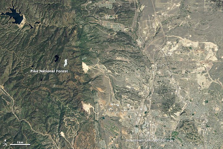
In recent decades, more Coloradans have moved into the wildland-urban interface, a wildfire-prone zone where wilderness and civilization meet.
Minneapolis, Nov. 3, 2013—The new LandScan Global Population Database has just been released and we would like to give you an opportunity to see it for yourself. We are now offering free data samples! Accurate and reliable population data is what distinguishes...
CLIFTON, N.J., Nov. 4, 2013—Exelis (NYSE: XLS) successfully completed factory acceptance testing for the Global Positioning System (GPS) III navigation payload simulator software. Developed by Exelis, the software will simulate the behavior of GPS signals in...
SEATTLE, Nov. 4, 2013—LizardTech®, a provider of software solutions for managing and distributing geospatial content, will have a presence at this week’s WALIS Forum at the Crowne Plaza Perth located in Perth, Australia. Represented by the company’s Australian...
SUNNYVALE, Calif., Nov. 5, 2013—Trimble (NASDAQ: TRMB) introduced today the next generation of its Trimble® GeoExplorer® data collection solution. The new Geo 7X includes an integrated laser rangefinder module, extended GNSS capabilities and improved hardware...
EASTON, Md., Oct. 28, 2013—AXIS Geospatial LLC is pleased to announce the addition of Allan Blades to their business development team. Allan comes with a wealth of experience within the geospatial industry, having spent the last seventeen years at BAE Systems...
Redlands, Calif., Nov. 4, 2013—The Maritime Alliance will honor Esri with its Educational Outreach Award during the Blue Tech & Blue Economy Summit on November 7, 2013, in San Diego, California. The Maritime Alliance fosters maritime business and technology...
