FT. LAUDERDALE, Fla., July 15, 2015 — Coastal Risk Consulting, LLC (CRC), the leading online flood prediction technology company, has unveiled the first-of-its-kind flood forecast service for more than 50 million coastal properties in the U.S. The online Coastal...
UTC Aerospace Systems’ TASE 500 Imaging Systems Selected for the Cirrus Perception Special Missions Platform
CHARLOTTE, N.C., July 15, 2015 — UTC Aerospace Systems is providing Cloud Cap Technology TASE500 and TASE400 imaging system options for the new Cirrus Aircraft™ Perception Special Mission Aircraft. Cirrus Aircraft has selected the TASE imaging systems for its...
Updated Pan-European Datasets Released by EuroGeographics
July 15, 2015 — Two updated pan-European datasets created from authoritative national datasets have been released by EuroGeographics. EuroBoundaryMap, a seamless geo-database at 1:100 000 scale, and EuroRegionalMap, a 1:250 000 scale topo-geographic dataset, have...
BlackBridge to be Acquired by Planet Labs
Berlin, July 15, 2015 — BlackBridge, a leading provider of satellite imagery and geospatial solutions, announced today that it has entered into a definitive agreement for Planet Labs to acquire the RapidEye suite of core offerings. Planet Labs is a provider of a...
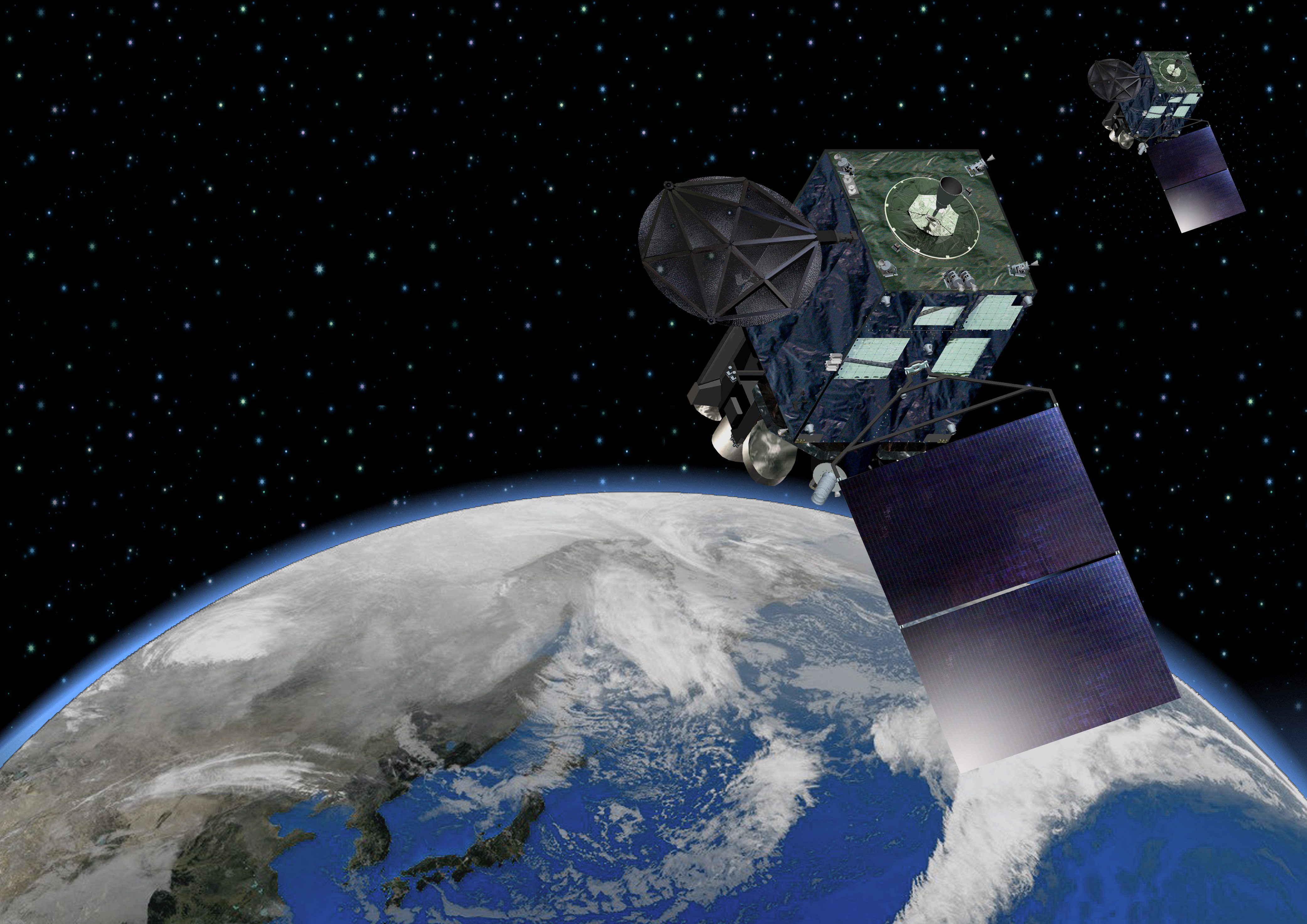
Japan's New Weather Satellite Provides Whole-Planet View
Japan’s Himawari-8 weather satellite was launched on Oct. 7, 2014, and began operation on July 7, 2015. The satellite is in a geostationary orbit  22,000 miles from Earth, allowing for a full global view at twice the resolution of similar weather satellites. The...
Research Institute Spins Off New Surveillance Sensor Office
The Sensor Systems research effort at the University of Dayton Research Institute has grown significantly since its inception in 2007. A group of 32 full-time researchers focused on research and development for sensors for surveillance applications have been spun off as the Sensor Accelerated Processing and Exploitation (Sensor APEX) office.
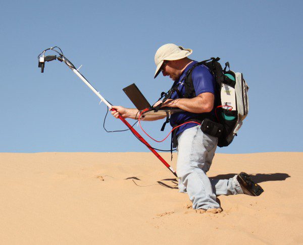
Finding Stable Sites to Calibrate Orbiting Satellites
South Dakota State University (SDSU) imaging engineer Larry Leigh will use Google Earth images to find sites to calibrate Earth-imaging satellites, thanks to a one-year, $46,000 Google Earth Engine Research award. He's the first SDSU researcher to receive the award.
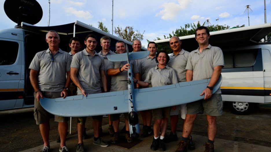
Predictive Analytics, Drone Technology Could Help Save South Africa's Rhinos
In the wake of record numbers of rhinos slaughtered in 2014 by poachers in South Africa ” an estimated 1,200 ” there's a glimmer of good news: a high-tech anti-poaching technique is stopping the bad guys in their tracks.
Real-Time Environment Info App “ Connecting Smart Tech with GIS
July 14, 2015 — Environmental Protection Administration, Taiwan has offered citizens and governmental sectors a comprehensive information portal since 2000, to meet the global concerns of environments. The portal provides visitors with various real-time data like...
UK Flood Map New for Bluesky Mapshop
Leicestershire, July 14, 2015 — Following an agreement between aerial mapping company Bluesky and hazard mapping specialists JBA Risk Management, visitors to www.blueskymapshop.com can now view and download a high resolution flood map for the whole of the UK....
