CLEVELAND, Ohio, August 26, 2015 — Global Marketing Insights Inc. today issued an invitation for Industry, Federal Civil, First Responders and Local Law Enforcement communities to participate in a Community Innovation Exchange with the U.S. Intelligence Community....

Digital Map of Alaska Seeing Progress
Alaska officials celebrated the progress of a long-standing mission to upgrade a dated and often-erroneous digital map of the state. The new map is being created with interferometric synthetic aperture radar (IfSAR) technology.
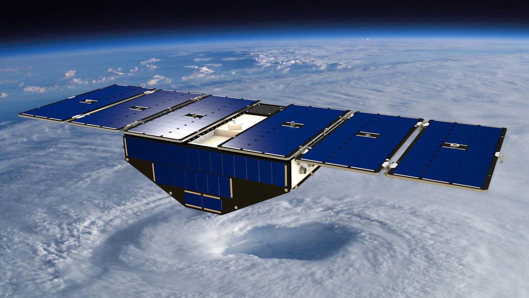
NASA Satellite Mission to Improve Hurricane Forecasting
Ten years after Hurricane Katrina formed in the Atlantic Ocean, construction of NASA's next-generation hurricane-observing satellite mission is underway. NASA's Cyclone Global Navigation Satellite System (CYGNSS), a constellation of eight microsatellites, will improve hurricane forecasting by measuring ocean surface winds in and near the eye wall of tropical cyclones, typhoons and hurricanes throughout their lifecycle.

Researchers Model Tsunami Hazards on Northwest Coast
Stretching offshore from northern California to British Columbia, the Cascadia subduction zone could slip at any time, causing a powerful earthquake and triggering a tsunami that would impact communities along the coast.
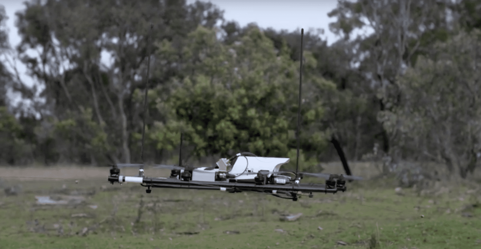
Drones Used to Track Wildlife
Researchers at The Australian National University and The University of Sydney developed a radio-tracking drone to locate radio-tagged wildlife.
GeoVisionary Used to Visualise Flood Risk by Cardiff University
August 25, 2015 — Cardiff University has been successfully using GeoVisionary within the MAREN2 project to accurately visualise large LIDAR data sets of water levels, coastal land forms and bathymetry, so stakeholders can assess the impact of proposed renewable...
Trimble Takes Flight with New Multirotor Unmanned Aircraft System
SUNNYVALE, Calif., August 25, 2015 —Trimble (NASDAQ: TRMB) announced today the ZX5 Multirotor Unmanned Aircraft System (UAS), a new aerial imaging and workflow solution that captures and processes geo-referenced photo and video data for mapping, agriculture and...
NOAA's Green Infrastructure Product Suite Helps Communities Reduce Extreme Weather Impacts
August 25, 2015 — As coastal community populations grow and climate change brings more frequent weather extremes, communities are looking for new ways to become more resilient. Green infrastructure is showing a lot of promise. Green infrastructure—natural and...
CourthouseUSA Markets Hexagon Geospatial's Mobile Alert for Crowdsourcing Property Data
Norcross, GA, August 25, 2015 — Hexagon Geospatial is pleased to announce that CourthouseUSA, a leading provider of authoritative U.S. property data and property related mobile apps, is marketing Mobile Alert for the crowdsourcing of property appraisal data....
Lockheed Martin Makes Tiny Satellite Cooling System Three Times More Powerful
Palo Alto, Calif, Aug. 25, 2015 — Lockheed Martin (NYSE: LMT) scientists are packing three times the power density into a key satellite cooling system whose previous design is already the lightest in its class. This project continues the company’s effort to...
