Curtis has earned the reputation of metadata master by authoring a host of GEOINT standards that support the mission of the National Air and Space Intelligence Center.

Curtis has earned the reputation of metadata master by authoring a host of GEOINT standards that support the mission of the National Air and Space Intelligence Center.
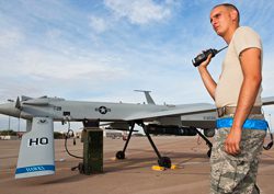
The fastest-growing occupation in U.S. Air Force warzone surveillance soon may be reaching its peak as the Defense Department looks for ways to cut costs.
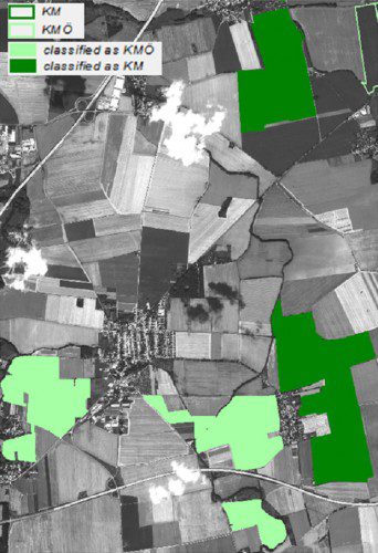
How do you know the organic spinach in your shopping cart is really organic? Maybe you should ask a satellite!

A new wave of unmanned aerial vehicles includes one that fits into a six-inch tube and can track targets from 25,000 feet in the air and another that virtually flies itself while executing real-time orders from a soldier on the battlefield.

The U.S. military is sending so many spy blimps to Afghanistan that industry cannot keep up with the increased demand for the containers that hold the gas.
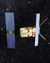
After a final thruster firing on Sept. 5 to deplete its remaining fuel, the European Space Agency's venerable ERS-2 observation satellite has been safely taken out of service.

Fugro has been awarded the contract to conduct an Airborne LiDAR Bathymetry survey of the Gulf of Lion in the northwest Mediterranean Sea.
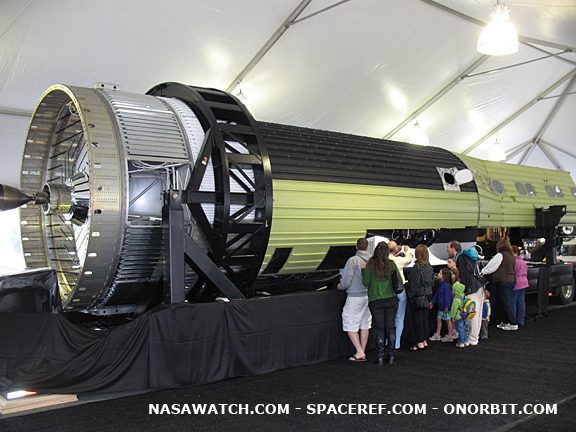
With virtually no advance notice, the National Air and Space Museum’s Udvar Hazy Center put a KH-9 “Hexagon” spy satellite on public display Sept. 17.
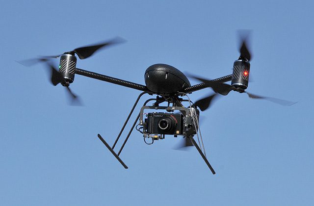
According to sources, it's the first time the technology has been used this way in Mesa County, Colo., and possibly in the whole country.

Multitasking could lead to a mental meltdown on future battlefields where ever-fewer humans control a growing swarm of drones and robots.
