Compilation of Rare Mars Auroras

Compilation of Rare Mars Auroras

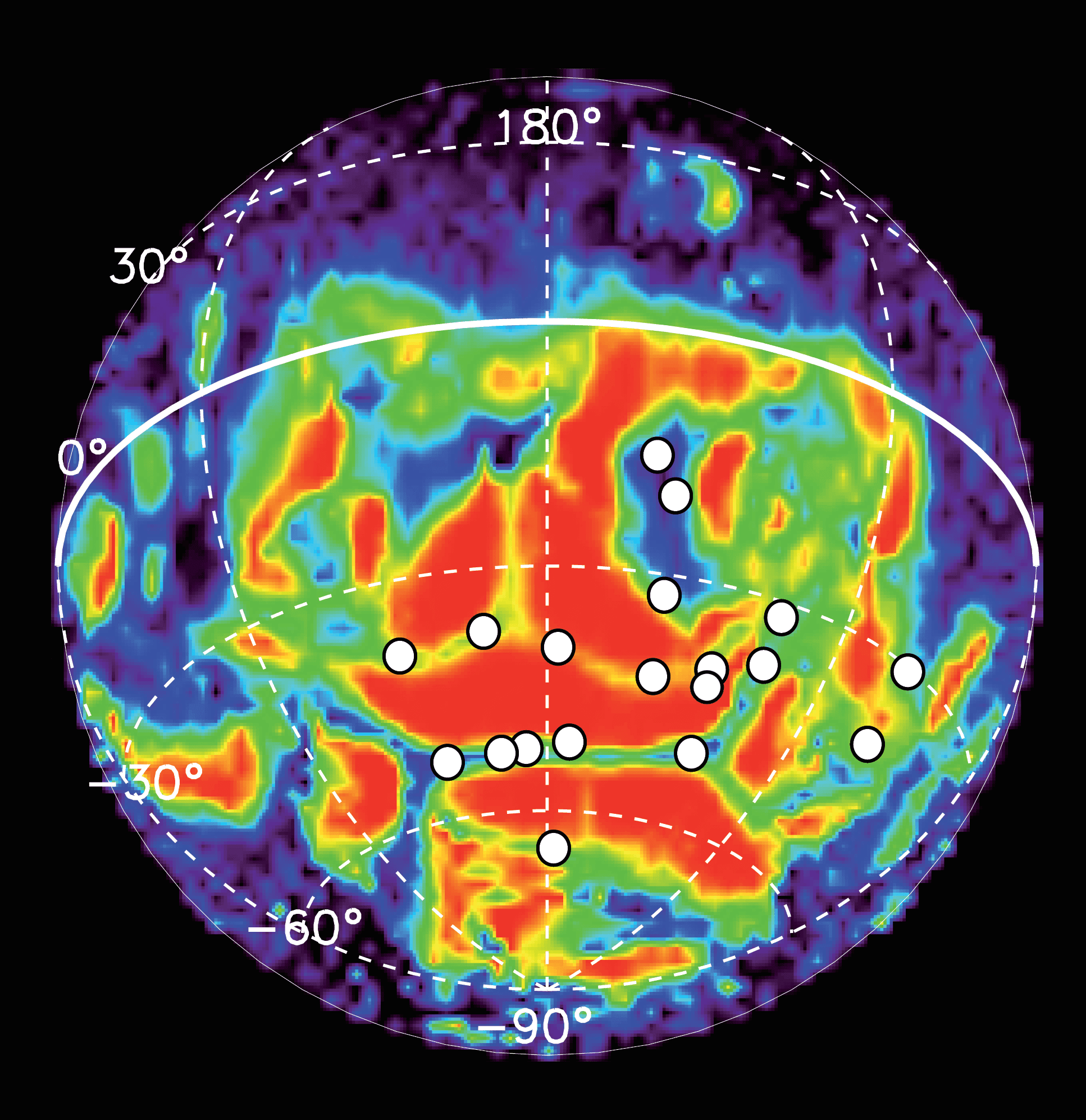
The European Space Agency's Mars Express satellite has been able to detect ultraviolet auroras on the planet by combining remote observations with in situ measurements of electrons hitting the atmosphere, and a new study looks at 10 years of such observations.

Historic Flooding Hits Death Valley

Historic Flooding Hits Death Valley

In October 2015, a system of storms caused significant flooding in most of California's Death Valley National Park. Flash floods from the storm destroyed roads and utilities, and damaged several historical structures.

Satellite Data Helps Conserve Mexican Biodiversity

Satellite Data Helps Conserve Mexican Biodiversity

An international project lead by sustainability software and data firm Ecometrica and funded by the UK Space Agency’s International Partnership Space Programme helped local organizations in Mexico secure funding of more than $1 million from the Global Environment Facility to support conservation of the El Ocote Biosphere Reserve in the state of Chiapas.

NGA Establishes Commercial GEOINT Strategy

NGA Establishes Commercial GEOINT Strategy

The National Geospatial-Intelligence Agency (NGA) introduced a commercial GEOINT strategy that outlines the agency's plans to deliver commercial geospatial intelligence products and services by leveraging greater persistence from its traditional as well as new and emerging GEOINT providers.

NASA Satellites Track Historic Hurricane Patricia

NASA Satellites Track Historic Hurricane Patricia

Hurricane Patricia made landfall on Oct. 24, 2015, along the southwestern coast of Mexico. NASA's Aqua satellite captured Patricia making landfall, while the Global Precipitation Measurement mission core satellite added up Patricia's high rain totals, which exceeded more than 409 millimeters (16.1 inches) over open waters.

Ozone Hole Approaches Record Size

Ozone Hole Approaches Record Size

Researchers from the German Aerospace Center (DLR) Earth Observation Center (EOC) used Earth-observation satellites to determine that the ozone hole over Antarctica currently extends more than 26 million square kilometers”an area larger than the North American continent. It's approximately 2.5 million square kilometers larger than at the same time in 2014, and just less than the record in 2006, when it was 27 million square kilometers.

NEWEST V1 MEDIA PUBLICATION

April Issue 2024