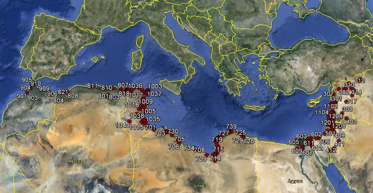
The largest ever conference on geoscience and remote sensing came to an end in late July after a week of exchanging ideas and discussing research trends and the latest observation techniques.
The largest ever conference on geoscience and remote sensing came to an end in late July after a week of exchanging ideas and discussing research trends and the latest observation techniques.
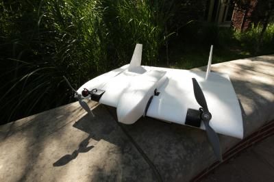
Archaeological sites that currently take years to map will be completed in minutes if unmanned aircraft tests under way in Peru go well.
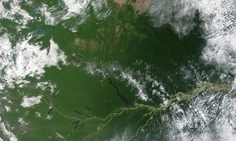
Data from satellite images show a 23 percent reduction in deforestation from August 2011 to July 2012 against the previous year. The reduction follows the recent passing of Brazil’s Forest Code.
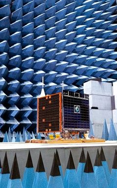
Investments in the United Kingdom, France and Germany are paying off, and an increasingly sophisticated fleet of smallsats is being used for Earth observation, science and military applications.
Satellites can help us avoid the potential devastating consequences of misusing wetlands, which are havens of biodiversity and have important ecological, hydrological and economic value.
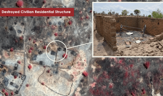
DigitalGlobe will continue providing the Enough Project with imagery and analysis services to monitor evidence of bombings, razed villages and possible threats to civilians in Sudan.
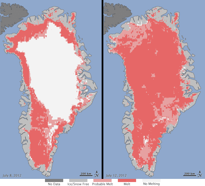
Nearly the entire ice sheet covering Greenland”from its thin coastal edges to its two-mile-thick center”experienced some degree of melting for several days in July 2012.
In response to the failed Envisat satellite, MacDonald, Dettwiler and Associates Ltd. boosted its commitment to provide RADARSAT-2 imagery to Europe's GMES program.

Satellites can help us avoid the potential devastating consequences of misusing wetlands, which are havens of biodiversity and have important ecological, hydrological and economic value.

DigitalGlobe and GeoEye announced that the boards of directors of both companies unanimously approved a definitive merger agreement under which the companies will combine in a stock and cash transaction valued at approximately $900 million.
