Looking down on the desert vistas of the southwestern United States, an astronaut took this photograph of a short section of the Colorado River.
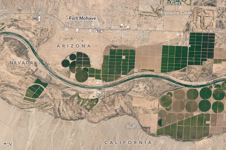
Looking down on the desert vistas of the southwestern United States, an astronaut took this photograph of a short section of the Colorado River.
MacDonald, Dettwiler and Associates (MDA) completed its acquisition of DigitalGlobe. The newly combined company will offer a broader set of space-based solutions, increased scale and a more-diversified revenue base.

NASA upgraded its Earth Polychromatic Imaging Camera (EPIC) imagery website that provides daily views of Earth from 1 million miles away, now allowing the public to choose natural or enhanced color images of Earth as well as zoom into an area on the globe.
Redlands, California —Getting a more intelligent picture of our planet just got easier thanks to an explosion in new imagery data collection sources, like drones and microsatellites, coupled with new image processing and analysis capabilities in Esri technology....
COLORADO SPRINGS, Colo., - The Sanborn Map Company, Inc. (Sanborn) flight team overcame challenging spring weather conditions to successfully collect high-resolution imagery of the entire state of Connecticut and its coastline in just five weeks. Altogether, the...
Redlands, California —The world’s leading mapping platform company, Esri, and the National Geomatics Center of China (NGCC) held a signing ceremony in Beijing, China with respect to providing access to NGCC’s mapping web services. This historic agreement will...
Airbus Defense and Space and the J.R. Simplot Company have signed a multi-year agreement that will enable Simplot to have access to very high resolution imagery products from the Pléiades satellites (50cm resolution) over locations in the United States as well as...
Redlands, California—December 17, 2015 — Esri and NASA are collaborating to improve access to imagery and raster data stored in the cloud using a combination of two technologies, Meta Raster Format (MRF) and Limited Error Raster Compression (LERC). MRF is an Open...
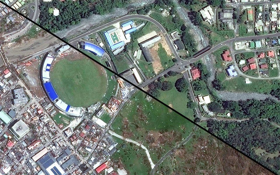
Earth imagery's unparalleled insights and transparency are elevating our understanding of today's interconnected world. The following graphics highlight a few of the many ways Earth observation chronicled some of 2015's noteworthy events and interesting phenomena.
Clermont-Ferrand, October 2, 2015 — The French company PlanetObserver, specialized in imagery base map production for more than 25 years, announced today the coverage of more than 50 Mill. sq km with PlanetSAT 15 L8 base map. Processed from Landsat 8 imagery,...
