A Mediterranean pilot study validates the use of high-resolution satellite imagery for bathymetry and seabed classification. By Helen Needham, hydrographic director, Proteus FZC (www.proteusgeo.com), Abu Dhabi, United Arab Emirates;Â Knut Hartmann, project manager,...
Creating Cost-Effective Situational Awareness
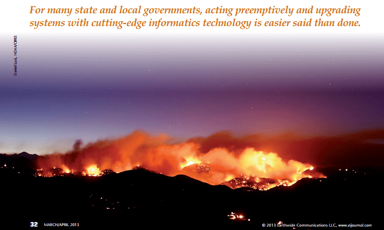
Modern LiDAR and optical data fusion techniques are helping cash-strapped state and local governments optimize post-disaster mitigation efforts. By David A. Gonzalez, Exelis Visual Information Solutions (www.exelisvis.com), Boulder, Colo. Higher volumes of complex...
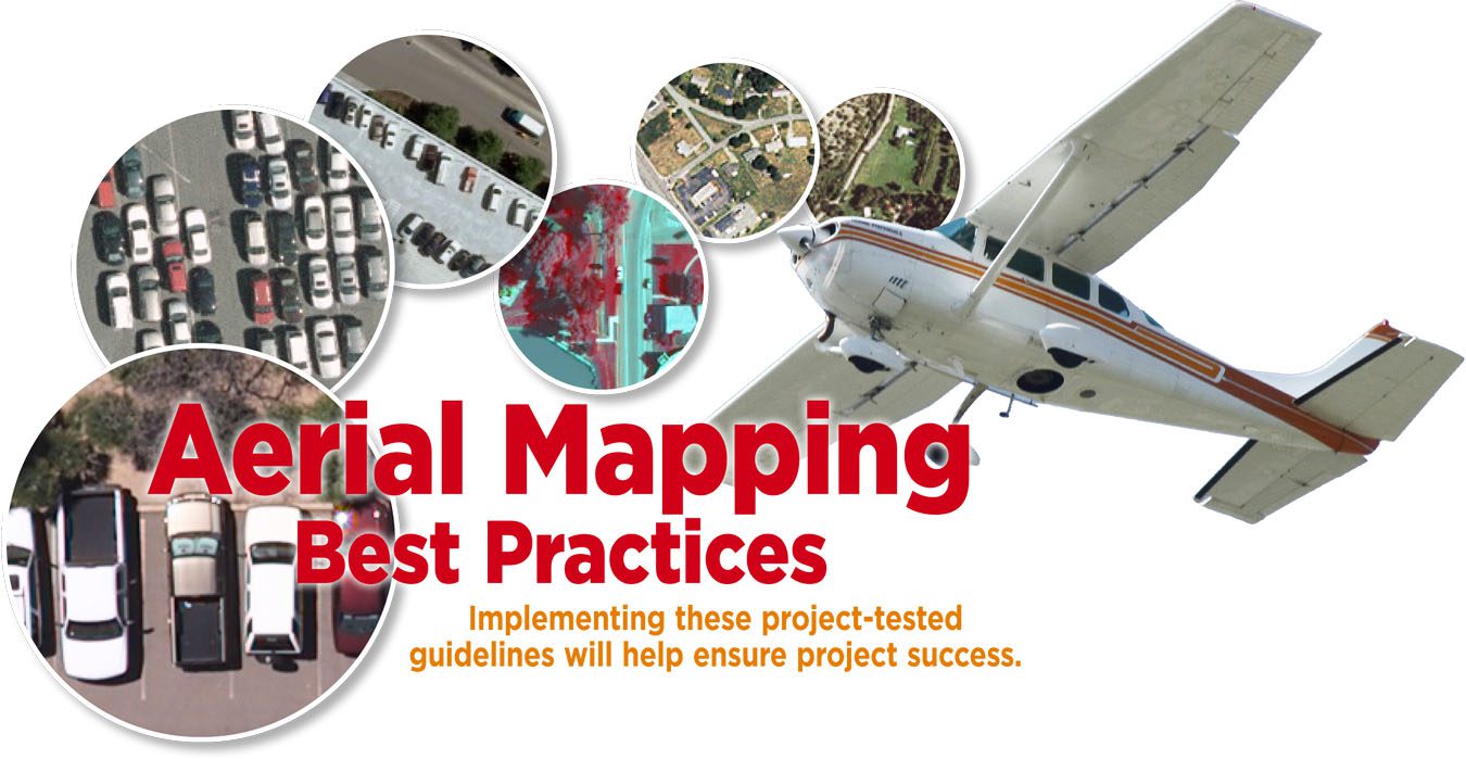
Aerial Mapping Best Practices
By Sanchit Agarwal, director of mapping operations; Brad Arshat, director of strategic accounts; and Shawn Benham, senior project manager, Sanborn (www.sanborn.com), Colorado Springs, Colo. From the glorious past of plane table surveying and analytical plotters to...

Planet Action Empowers Work-Study Success
Five university students working with project managers in Mexico, Colombia and France  leverage Planet Action resources to achieve winning results. By Mary Jo Wagner, freelance writer, editor and media consultant, Vancouver, British Columbia, Canada. Energized by...

Exploring Wide-Format Options for Geospatial Output
Refer to this simple checklist when shopping for a wide-format printer to ensure the right machine for your organization’s needs. By Andrew Vecci, Canon Solutions America (http://csa.canon.com), Chicago. Organizations that require hard-copy output from their...
What Is the Future of Geospatial Data Management?
Progressive organizations need a unified approach to manage geospatial data. By Mladen Stojic, vice president—Geospatial, Intergraph (www.intergraph.com), Norcross, Ga. Today’s progressive organizations rely on comprehensive geospatial data to drive smarter...
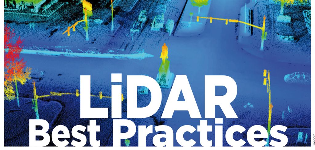
LiDAR Best Practices
Following a few simple guidelines can unlock the cost-saving benefits of collecting and using LiDAR data. By Jason Caldwell, director of strategic accounts, and Sanchit Agarwal, director of mapping operations, Sanborn (www.sanborn.com), Colorado Springs, Colo. Light...

State of the Industry: Strengths, Weaknesses, Opportunities and Threats
In 2008, Earth Imaging Journal asked its Editorial Advisory Board (EAB) members to analyze the remote sensing industry’s strengths, weaknesses, opportunities and threats (SWOT). At the time, big players suchas Google and Microsoft were entering the market. The...
Intriguing Images of 2012
Tracking an Undesirable Import Dust Dominates Aerosol Arrivals to North America A dust plume arose over Inner Mongolia and began its eastward journey over the Sea of Japan on April 9, 2012. According to a NASA analysis of data from the Terra and Cloud-Aerosol...
Why Buy?
By Jeff Specht, publisher, Earth Imaging Journal (www.eijournal.com), Greeley, Colo. With search engines and other online sources trying to distinguish their offerings with ever-greater amounts of free content, managers in public agencies find themselves asking,...
