DENVER, July 8, 2015 — A new development center will advance satellite sensing and communication technologies, broadly known as Radio Frequency (RF) payloads, at the Lockheed Martin (NYSE: LMT) facility in Denver. The RF Payload Center of Excellence will focus on...
UNESCO and UNITAR-UNOSAT Protect Cultural Heritage with Geospatial Technologies
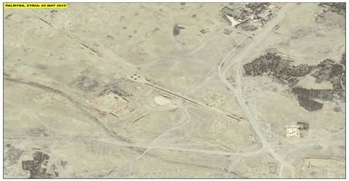
At the annual meeting of the World Heritage Committee in Bonn, Germany, UNESCO and UNITAR (the UN Institute for Training and Research) signed an agreement to protect cultural and natural heritage sites with the latest geospatial technologies. The strategic partnership will enable the organizations to work together during conflict situations and following natural disasters, sharing their respective expertise, and collaborating on prevention and capacity development.

ISRO to Launch DMC3 Earth-Observation Constellation
The Indian Space Research Organisation (ISRO) is slated to launch its heaviest commercial load on July 10, 2015, with a payload of five satellites made up of the DMC3 constellation of optical Earth-observation satellites as well as two others aboard a PSLV-XL rocket from the Sriharikota spaceport in Andhra Pradesh.

Embry-Riddle Receives NASA Grant for High-Altitude Unmanned Aircraft
NASA awarded an engineering team at Embry-Riddle's Daytona Beach campus a $100,000 grant to develop a concept for an unmanned aircraft to be powered by renewable energy (wind or solar) and fly at 50,000-60,000 feet. The atmospheric satellite concept was chosen as one of 15 winning projects from hundreds of entries for a NASA Innovation Advanced Concepts program, Phase I award.

ONR Researcher Wins Prize for Satellite-Imaging Work
For research that could provide warfighters with extremely accurate digital images of future combat zones and potential enemies, a French mathematician sponsored by the Office of Naval Research (ONR) recently won the prestigious Longuet-Higgins Prize from the Institute of Electrical and Electronics Engineers (IEEE) Computer Society.
Extensive Programme on development and preservation of Arctic was prepared for the participants of the International Geographical Union Regional Conference
July 7, 2015 —The Participants of the IGU Regional Conference, that will take place at Moscow from 17 to 21 August, will discuss issues and perspectives of development of Arctic region and difficulties of its preservation. Special attention is dedicated to the...
Symposium Program Released For UAS Mapping 2015 Reno
Bethesda, Md., July 7, 2015 — The symposium program is announced for the second annual technical UAS MAPPING 2015 RENO symposium sponsored by the American Society for Photogrammetry and Remote Sensing (ASPRS). The dates of the conference are September 29 & 30,...
Carlson Software Releases Surveyor2”A Faster, More Powerful Data Collector for Surveyors
Maysville, KY, Juky 7, 2015  — Carlson Software recently released its new Carlson Surveyor2, the newest model in its Carlson Surveyor line of data collectors. The Surveyor2 is paired with Carlson’s easy-to-use software to provide a powerful, complete solution...
Aerial Mapping Company Bluesky Expands
Leicestershire, July 7,, 2015 — Aerial mapping specialist Bluesky has completed a significant recruitment programme, expanding its Leicestershire based workforce by more than 20 per cent. Key appointments include David Findlay who joins as Business Development...
URISA’s GISCorps Activities During Esri User Conference
Des Plaines, IL, July 7, 2015 – URISA’s GISCorps has announced several activities coinciding with Esri’s User Conference in San Diego, July 20-24, 2015. All interested individuals are invited to learn more about this program which coordinates short term,...
