Abu Dhabi, October 19, 2015 — The second Eye on Earth Summit, held last week, has concluded with a commitment by delegates to implement a number of mechanisms, recommendations and practical actions around the supply, demand and enabling conditions of data considered...
Exclusive Keynote Presentation at the Capturing Reality Forum in November
October 19, 2015 — The The Capturing Reality Forum, which takes place at the Salzburg Congress in Salzburg, Austria, from 23-25 November 2015, is pleased to announce its prestigious keynote speaker, Professor Luc Van Gool, founder and head of the Computer Vision...
1Spatial Wins IRLOGI Award with Ordnance Survey Ireland
Cambridge, UK, October 19, 2015 — (www.1spatial.com) 1Spatial, the global spatial software firm which manages the world’s largest spatial data, has won the IRLOGI Space and Place award for Most Innovative use of Technical Infrastructure in a GI Solution. The...
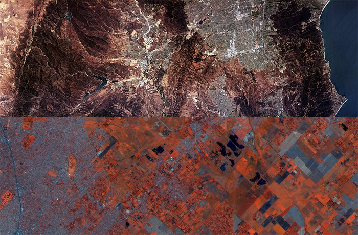
African Satellite Constellation Expecting New Addition
Image-sensor developer Teledyne Dalsa is partnering with South Africa-based Denel Spaceteq, a high-performance satellite systems and solutions provider to the African and international aerospace market, to develop a new multispectral image sensor for advanced Earth observations.
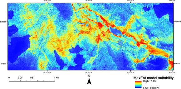
Remote Sensing Helps Map Tool-Wielding Monkeys
Scientists eager to study the bearded capuchin monkeys (Sapajus libidinosus) of northeastern Brazil”especially interesting because they use stone tools to crack open the hard casings of palm nuts to eat the meat inside”are concerned the monkeys will lose critical habitat as industrial agriculture is rapidly expanding and intensifying in the region.

MDA Adds Maritime Imaging Modes for RADARSAT-2
MDA's Information Systems group introduced two new RADARSAT-2 imaging modes for commercial use. The modes are designed specifically for maritime monitoring and are expected to enhance RADARSAT-2 capabilities.
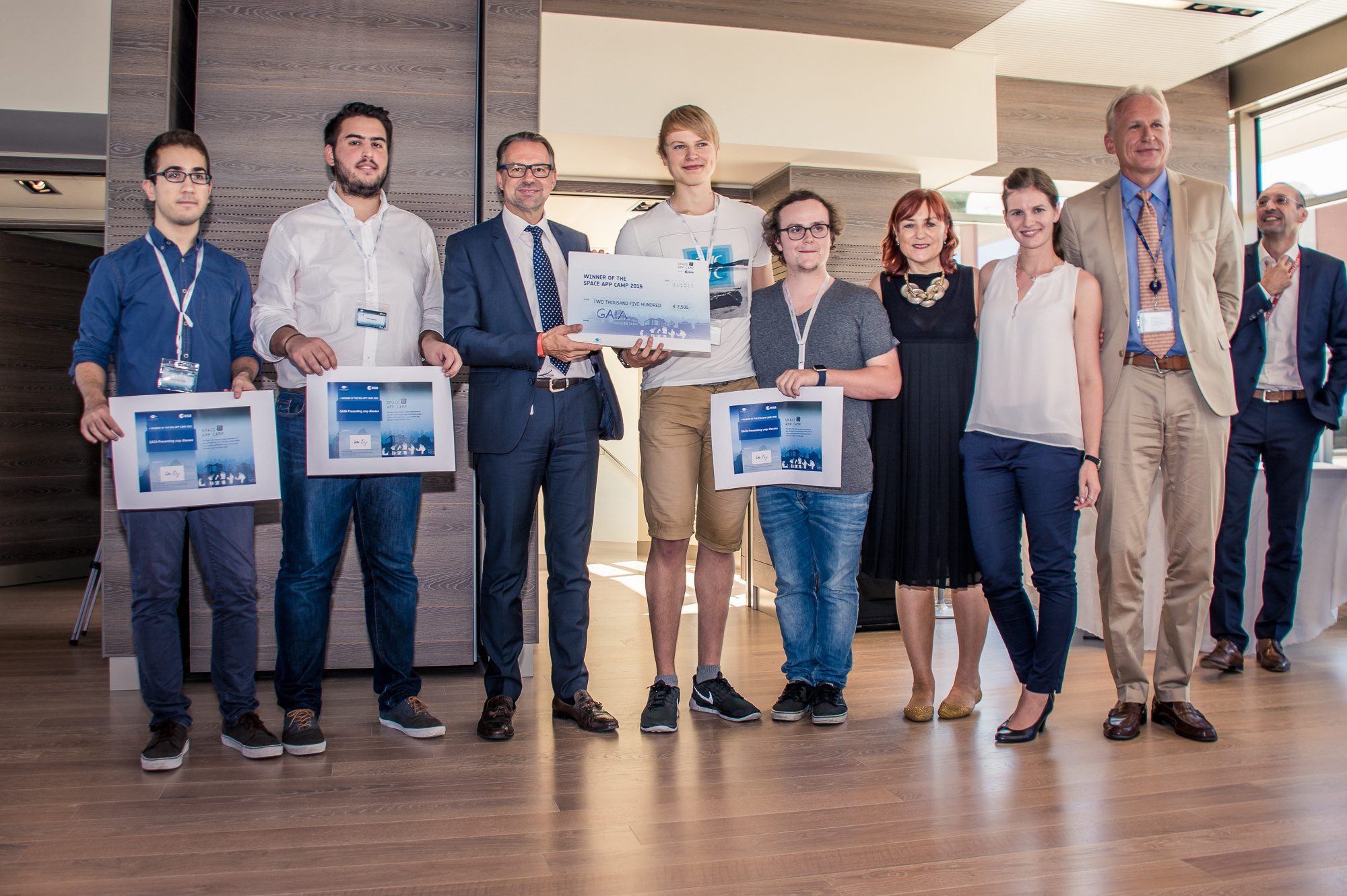
Italy Hosts Space App Camp
Twenty-three developers from nine countries gathered in late September 2015 at the European Space Agency (ESA) ESRIN centre in Italy for the fourth annual Space App Camp and competition.
LizardTech Publishes Industry Survey Results on Raster Imagery and LiDAR Data Challenges
SEATTLE, Wash., Oct. 9, 2015 — LizardTech®, the creator of MrSID® and provider of software solutions for managing and distributing geospatial content, has published the results of a survey into the preferences and challenges of raster and LiDAR data users....
Sanborn Technology Benefits Government Appraisers
Colorado Springs, Colo., Oct. 9, 2015 — The Sanborn Map Company, Inc. (Sanborn) offers a complete solution for government appraisers to decidedly streamline the process of property valuation. Using this process, some counties have reported adjusting the values of...
The GeoInformation Group Supports St Helena’s Multi-Million Pound Development
October 9 2015 — The UKMap team within The GeoInformation Group has been commissioned by St Helena Government to create a cartographic database for the island’s new 1:25,000 and 1:10,000 scale mapping. The South Atlantic island, one of the most isolated,...
