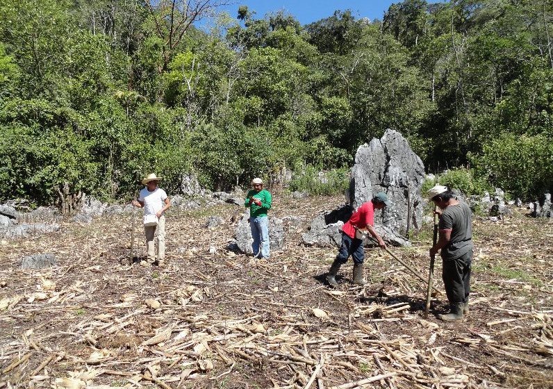
An international project lead by sustainability software and data firm Ecometrica and funded by the UK Space Agency’s International Partnership Space Programme helped local organizations in Mexico secure funding of more than $1 million from the Global Environment Facility to support conservation of the El Ocote Biosphere Reserve in the state of Chiapas.
NGA Establishes Commercial GEOINT Strategy
The National Geospatial-Intelligence Agency (NGA) introduced a commercial GEOINT strategy that outlines the agency's plans to deliver commercial geospatial intelligence products and services by leveraging greater persistence from its traditional as well as new and emerging GEOINT providers.
Forest Satellite Data & Mapping Project Led by Ecometrica Gets $1M from GEF to Conserve Mexico Biodiversity Hotspot
November 2, 2015 — An international project led by sustainability software and data firm Ecometrica and funded by the UK Space Agency's International Partnership Space Programme (IPSP) has helped local organisations in Mexico secure funding of over $1 million from...
MAPPS Member Named to NCEES Task Force
October 30, 2015, Reston, VA — MAPPS, the only national association of private sector firms in the surveying, mapping and geospatial field in the United States, today announced MAPPS member Pam Nobles, PSM, PLS, of Diversified Design & Drafting Services, Inc....
Charles Elachi to retire as JPL Director
October 30, 2015 — Charles Elachi, the director of the Jet Propulsion Laboratory since 2001, announced today he is retiring at the end of June 2016. He will become professor emeritus at the California Institute of Technology, where he currently serves as a vice...
Contracting With and Between UAS Operators White Paper Published by Global Aerospace, Inc. and Dentons
PARSIPPANY, N.J., Oct. 30, 2015 — Numerous businesses today are choosing to outsource their drone operations to professional operators. This is one of the significant observations in a new white paper, "Contracting With and Between UAS Operators" published this week...
Global Aerial Imaging Market(Energy, Geospatial Technology, Natural Resources Management, Construction, and Defense) Analysis and Forecast by 2020
Albany, NY, October 30, 2015 —  This research report titles "Aerial Imaging (Energy, Geospatial technology, Natural resources management, Construction, and Defense) Market – Global Industry Analysis, Size, Share, Growth, Trends, and Forecast, 2014 – 2020"...
what3words Delivers 3 Word Addresses to Esri ArcGIS Platform
October 29, 2015 — what3words announced today that it will be providing its innovative 3 word address and location reference system to the ArcGIS platform. what3words is an Emerging Business Partner in the Esri Startup Program, a three-year program designed to...
Huerta Announces UAS Registration Task Force Members
October 29, 2015 — Federal Aviation Administration (FAA) Administrator Michael Huerta today announced the membership of the Unmanned Aircraft Systems (UAS) Registration Task Force. Earl Lawrence, Director of the FAA’s UAS Integration Office, and Dave Vos of Google...
DigitalGlobe Expands Partnership with Mapbox to Provide Access to 30 cm Imagery Basemaps
WESTMINSTER, Colo., October 29, 2015 —DigitalGlobe, Inc. (NYSE: DGI), a leading global provider of commercial high-resolution earth observation and advanced geospatial solutions, today announced an expanded partnership agreement with Mapbox that will make 30 cm...