The service will provide organizations with accurate snapshots of existing air quality conditions along with modeling outputs to forecast how modifications in pollutant sources can change concentrations in the air over time.
The service will provide organizations with accurate snapshots of existing air quality conditions along with modeling outputs to forecast how modifications in pollutant sources can change concentrations in the air over time.

Two awardees have been recognized with the 2018 William T. Pecora Award for achievements in Earth remote sensing.
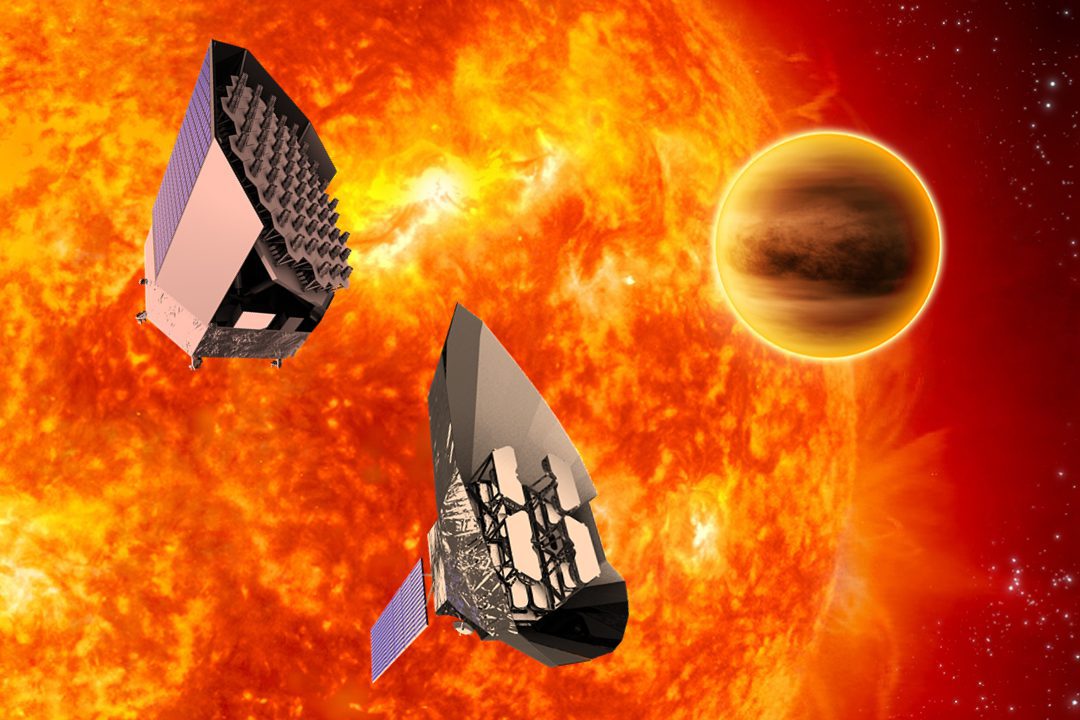
The European Space Agency (ESA) officially designated the CCD sensors that comprise the focal plane arrays of the 26 telescopes being supplied for ESA's PLATO exoplanet hunting mission as CCD Bruyères.
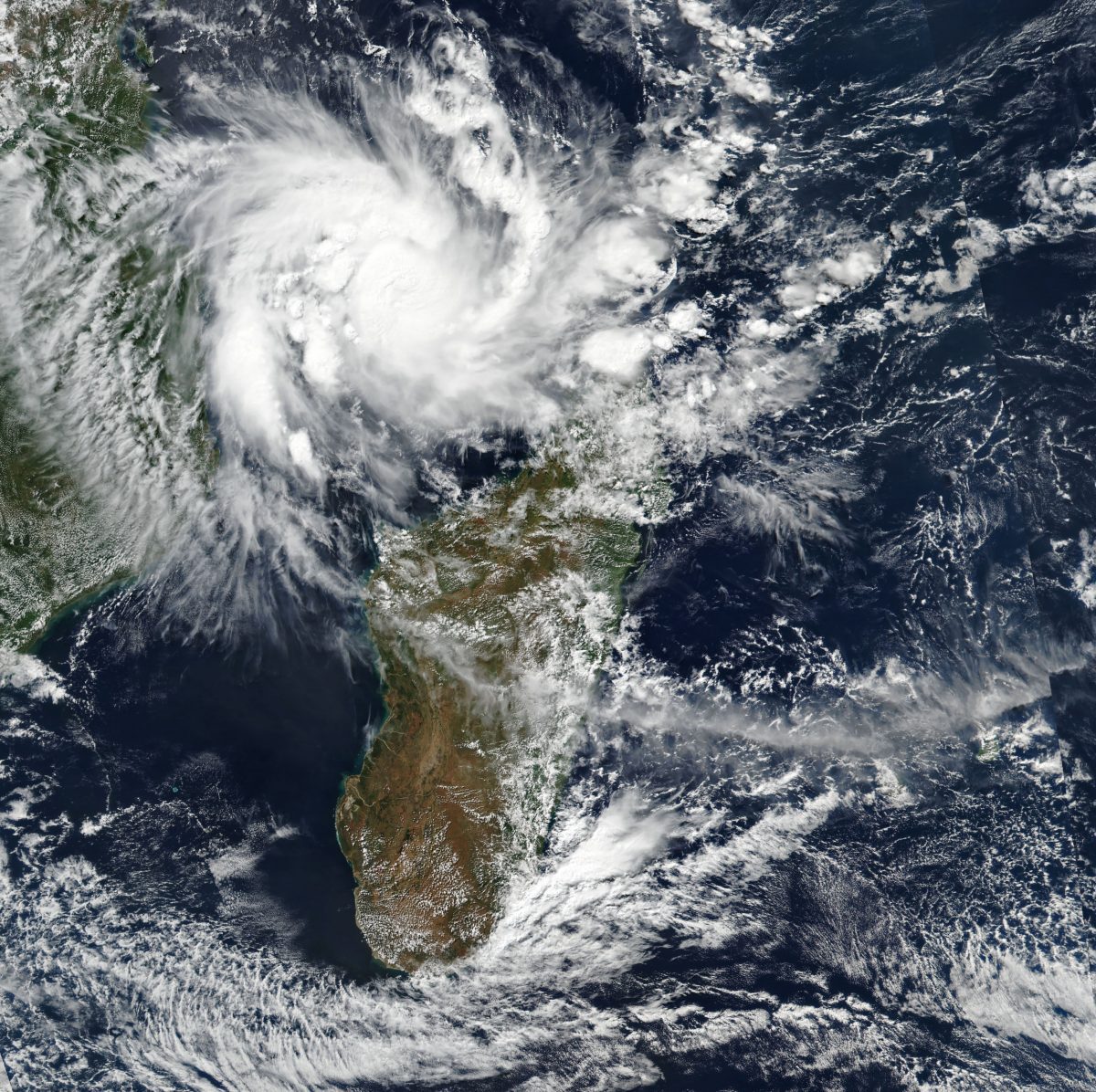
Just five weeks after enduring the worst natural disaster in its recorded history, Mozambique is facing another serious storm threat.
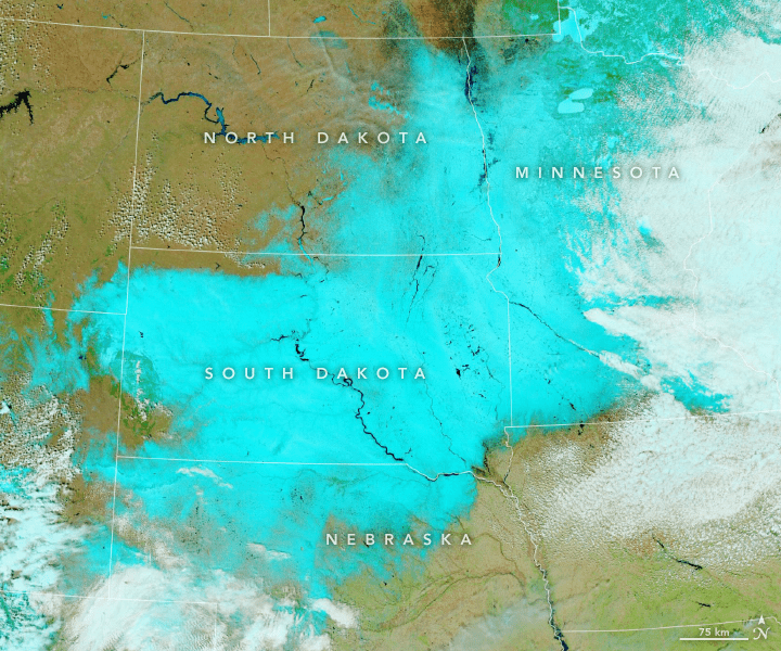
For the second time in a month, an intense spring bomb cyclone plastered the Upper Midwest of the United States with snow and wind.
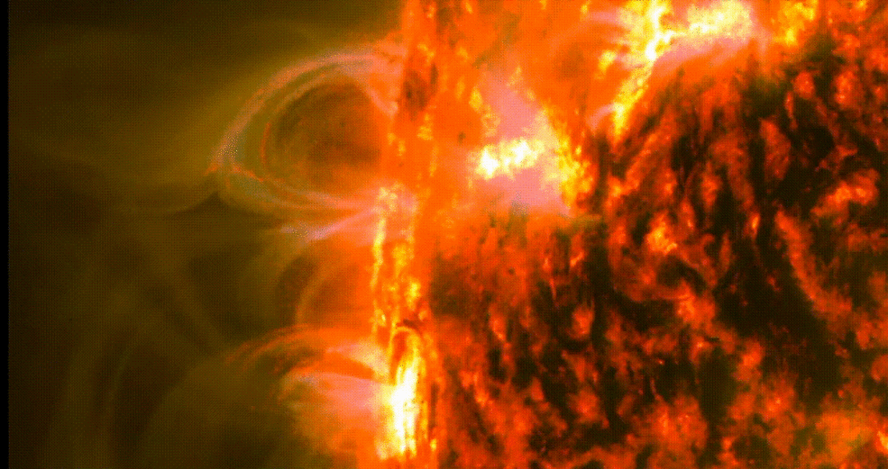
The coronal rain observed in these comparatively small magnetic loops suggests that the corona may be heated within a far more restricted region than previously expected.
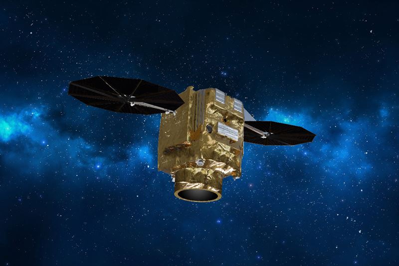
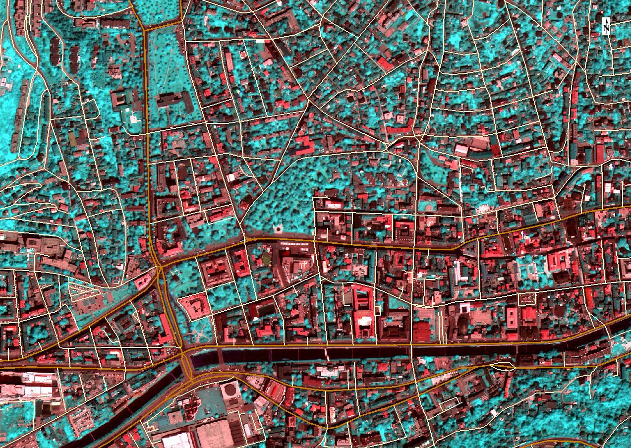
Swedish Space Corporation (SSC) and Airbus signed a contract for SSC ground segment support services to the new Pléiades Neo constellation of very high resolution Earth Observation satellites.
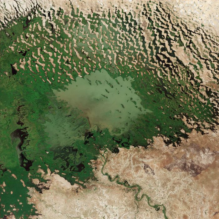
This image from the Copernicus Sentinel-2A satellite takes us over Lake Chad at the southern edge of the Sahara, where water supplies are dwindling.
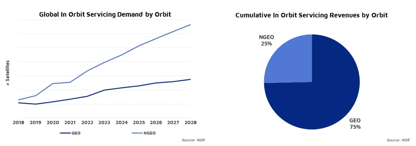
Although growth is anticipated across all applications in all orbits, GEO satellite life extension will yield the largest share of revenues.
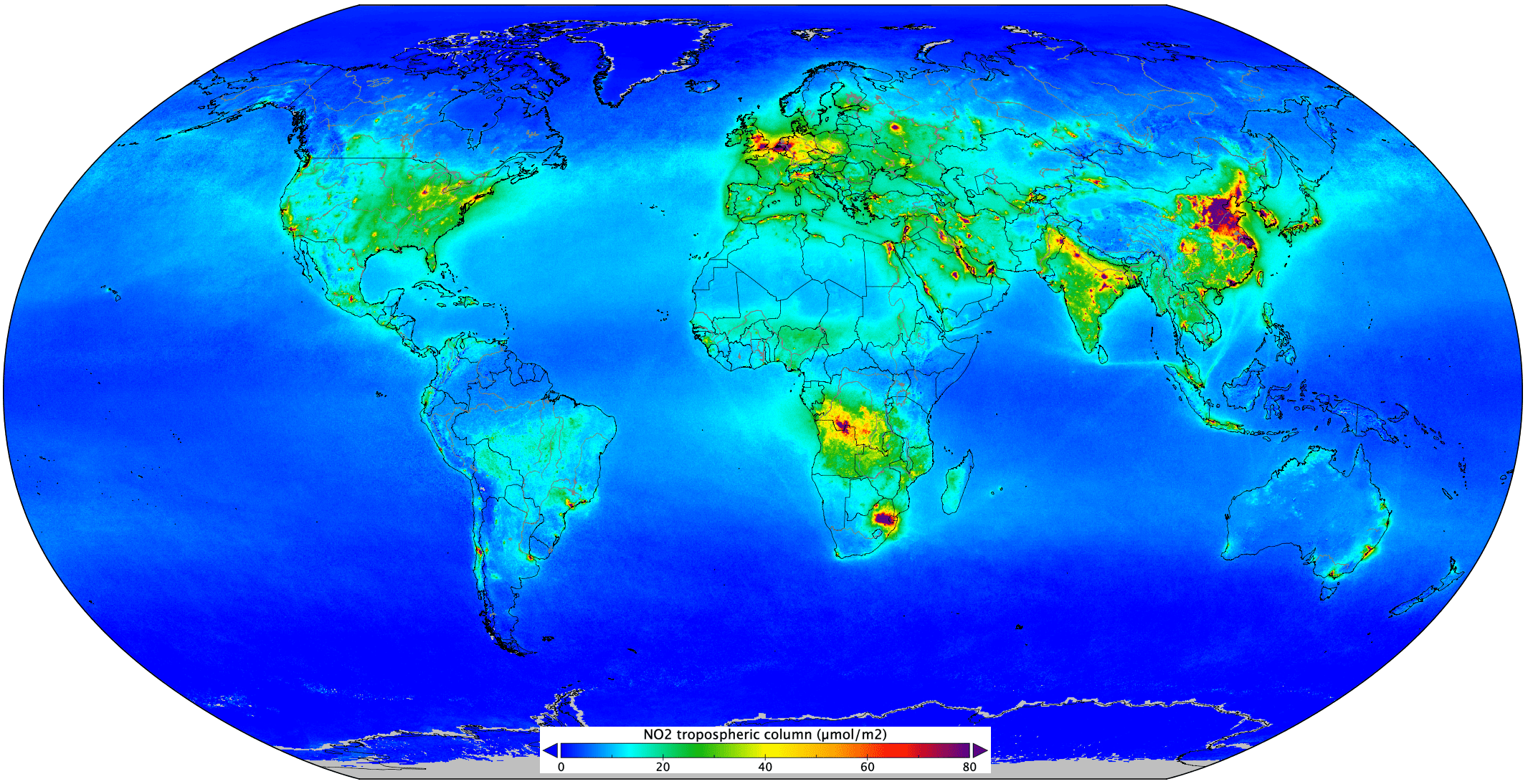
Measurements gathered by the Copernicus Sentinel-5P mission between April and September 2018 have been averaged to reveal nitrogen dioxide in the atmosphere.
