Why Aerial Imagery Resolution Matters

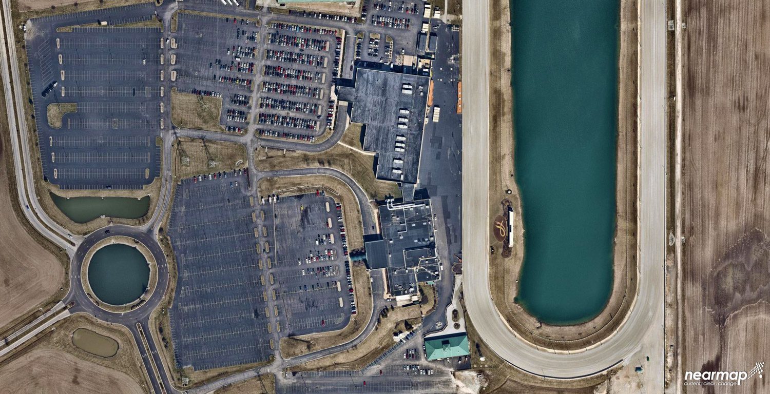
Why Aerial Imagery Resolution Matters

A quantum leap in computing capacity has allowed us to model and analyze the real world – all from our desktop and mobile devices. In days past, maps were purely for visualization and direction. Today, they have graduated to full-blown analytics platforms empowering...

GIS to the Rescue: Unleashing the Power of Geospatial Technology to Plan for and Respond to Natural Disasters

GIS to the Rescue: Unleashing the Power of Geospatial Technology to Plan for and Respond to Natural Disasters

The prevalence of such extreme weather events with the rise of the number and intensity of hurricanes that rolled through the region, bringing with them violent winds and rains, highlighted the importance of utilizing decision-support tools such as these that help communities better plan for disasters, expedite response operations and better position resources to minimize the impact of these inevitable and disastrous events.

Vertical Images: From Film Making to Inspection, and Why the Future of Drones Doesn't Lie in Flying

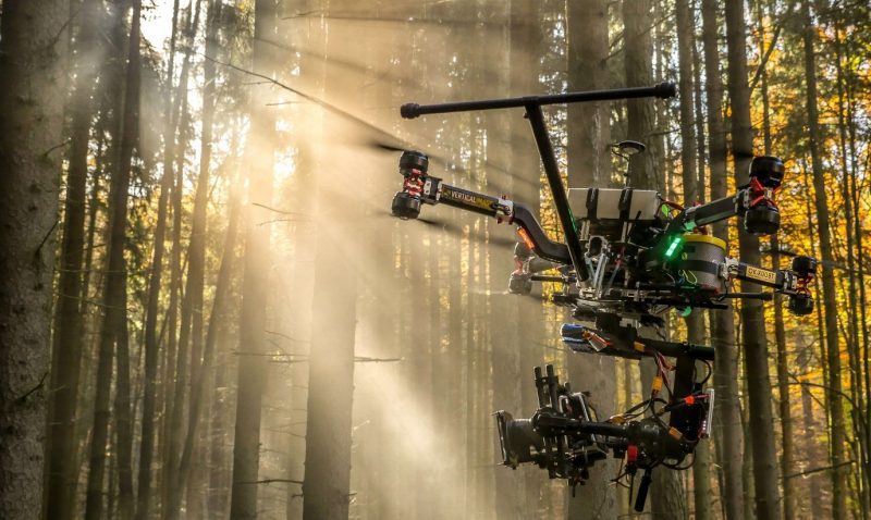
Vertical Images: From Film Making to Inspection, and Why the Future of Drones Doesn't Lie in Flying

Successful drone entrepreneur Petr Lněnička went from award-winning filmmaker to drone inspection leader in his native Czech Republic. Here he lays out 3 pieces of advice and explains why for him, the transition seemed logical, and why he believes the future of drone mapping services will place less and less emphasis on drones and more and more weight on mapping data.

Industry Insights: Enabling Cloud-Based Augmented Reality Networks

Industry Insights: Enabling Cloud-Based Augmented Reality Networks

The concept of cloud-based augmented reality (AR) is on the precipice of fundamentally changing organizational decision making for all types of industries. However, with any new technological frontier, there are many innovative startups vying to take the lead in the practical, commercial application of AR. And this is exactly what's happening today, with the geospatial sector being on the forefront of this technology frontier.

NGA Director Cardillo Declares GEOINT on the Rise

NGA Director Cardillo Declares GEOINT on the Rise

The agency I'm privileged to lead celebrates a major anniversary this fall. It's been a remarkable 20 years”from NIMA stand-up to NGA transition to the GEOINT Revolution. And I can proudly”and confidently”say that GEOINT is on the rise, more relevant than ever to our customers today and poised for a tomorrow that's filled with possibility.

Are UASs More Like PCs or Macs?

Are UASs More Like PCs or Macs?

Because I'm a land surveyor by background, I keep thinking it's the UAS that's important; the manufacturer matters, in the same way the choice of total station or laser scanner often comes down to a preference for Leica or Trimble. But Airware (and other firms) argue that UASs are more like a commodity, and that the real value of UASs for businesses lies in the systems installed on the vehicle.

Imagery Fully Integrated

NGA Continues Work to Remove Friction

Even before the National Geospatial-Intelligence Agency (NGA) renaming transformed the agency from the more-static-sounding National Imagery and Mapping Agency (NIMA), the organization was hard at work to speed and ease the workflow of turning raw images into insight. The organization has been at the technological forefront of exploiting imagery and continues to provide valuable information in a timely manner that impacts missions and lives.

NEWEST V1 MEDIA PUBLICATION

October Issue 2023