This implementation streamlines work management and gathers data to support decision-making for the management and operations of the city’s Water and Sewer utilities. GREELEY, Colo. — The city of Greeley, Colo., has gone live with its Cityworks Asset Management...
Thermal Imagery for Building and Utilities Owners
By Woolpert’s Qassim Abdullah, Ph.D., PLS, CP and Nadja Turek, PE, F. SAME, LEED AP BD+C, GGP, Envision SP May 2021    Abstract This paper discusses the aerial acquisition of thermal imagery and introduces thermography, acquisition parameters, atmospheric...
Versatile Geospatial Program Director Shelly Carroll Joins Woolpert
Carroll’s topo-bathy lidar and hydrographic data experience with coastal restoration for agencies like USGS and NOAA will support the firm’s maritime market. DENVER — Woolpert has hired Shelly Carroll, PMP, CBAP, ACP, as a geospatial program director in the...
Woolpert Providing Geospatial Support, Heating Overhaul, Taxiway Rehab for WPAFB
WRIGHT-PATTERSON AIR FORCE BASE, Ohio — The U.S. Army Corps of Engineers (USACE) and Wright-Patterson Air Force Base’s (WPAFB) 88th Air Base Wing have contracted with Woolpert for multiple architecture, engineering and geospatial projects at WPAFB. The...
Woolpert Contracted to Collect Orthoimagery for Ohio
COLUMBUS, Ohio — Woolpert has been contracted to acquire high-resolution orthoimagery for the entire state of Ohio, which is roughly 41,276 square miles, by the Ohio Geographically Referenced Information Program (OGRIP). This project is the third iteration of the...
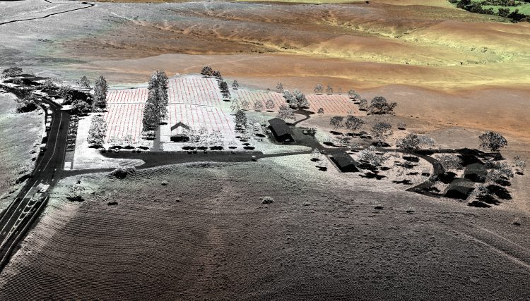
Topographic Lidar Data Employed to Map, Preserve U.S. History
In August 2015, the National Park Service (NPS) contracted Woolpert for the Little Bighorn National Monument Mapping Project to record the locations of thousands of headstone markers at the Custer National Cemetery as well as hundreds of battlefield markers at the Little Bighorn National Monument site, which covers approximately 5.5 square miles.
Woolpert Conducts USGS Lidar Projects in 49 Tennessee Counties
NASHVILLE — The U.S. Geological Survey (USGS) contracted with Woolpert to collect high-resolution lidar elevation data for three separate projects across 49 Tennessee counties meeting QL2 accuracy standards. The counties involved are primarily east of Nashville to...
Woolpert Dispatches Drones to Mitigate, Predict Landslides
WEST VIRGINIA — Woolpert has tasked its unmanned aerial systems (UAS), or drones, with monitoring landslide areas and potential landslide areas in northern West Virginia. “This is an active weather time, with West Virginia experiencing historic rains,†said...
Woolpert, Magnolia River Geospatial Net $10M Coastal Mapping Project
KILN, Miss.,May 10, 2016 — WMR-532, the joint venture of Woolpert and Magnolia River Geospatial, has been contracted to acquire bathymetric and topographic lidar and imagery, and to provide final data products to the Joint Airborne Lidar Bathymetry Technical...
Woolpert Deploys UAS to Collect Imagery for Rural Roads Project
Woolpert has been hired by Michigan Tech Research Institute (MTRI) to collect imagery via unmanned aerial system (UAS), or drone, of haul roads throughout the Midwest. This project, “Characterization of Unpaved Road Conditions Through the Use of Remote Sensing,â€...
