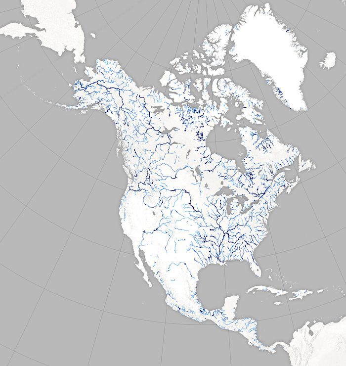
Scientists are swapping topographic maps for satellite images as part of a new NASA mission to create the first global inventory of Earth's surface waters.
Scientists are swapping topographic maps for satellite images as part of a new NASA mission to create the first global inventory of Earth's surface waters.
