SAN FRANCISCO – SSL MDA Holdings Inc., a global communications and information company, today announced important milestones in its progress to bring transformational on-orbit satellite servicing to market. Space Infrastructure Services LLC (SIS), a new U.S....
Teledyne Optech Brings Full Spectrum of Remote Sensing Technology to Esri UC 2017
Teledyne Optech is pleased to announce that it will present the latest lidar and imaging solutions for acquiring accurate geospatial data at the Esri 2017 User Conference in San Diego, CA. GIS professionals from around the world are invited to see the full spectrum of...
MDA Announces Retirement of SSL President and New Executive Appointments
SAN FRANCISCO and VANCOUVER, B.C. – MacDonald, Dettwiler and Associates Ltd. (“MDA†or the “Companyâ€) (TSX:MDA), a global communications and information company, today announced that John Celli will be retiring as President of SSL (Space Systems Loral) after...
WMS Map Viewer on Line: An Application Providing Ubiquitous Access to Maps
WMS Map Viewer on line is a web application for accessing and indexing web maps. The application is provided as SaaS (Software as a Service) so that the software required for visualizing and managing web maps is rapidly loaded while accessing the web site of the app...
Demonstrating Geospatial Value is Key to Regaining Public Trust in Experts says UN-GGIM: Europe
Momentum created by the 2030 Development Agenda and 2020 Census rounds should be used to demonstrate the practical value of geospatial expertise, says UN-GGIM: Europe. Â Delegates attending the 4th Plenary of the regional committee of the United Nations Committee of...
Caroline Bellamy Appointed New Chief Data Officer of Ordnance Survey
Ordnance Survey (OS) is pleased to announce the appointment of Caroline Bellamy, as its new Chief Data Officer. Caroline is a highly-experienced leader with 25 years’ Data and Insight experience, working in multiple sectors at senior levels. Caroline joins OS from...
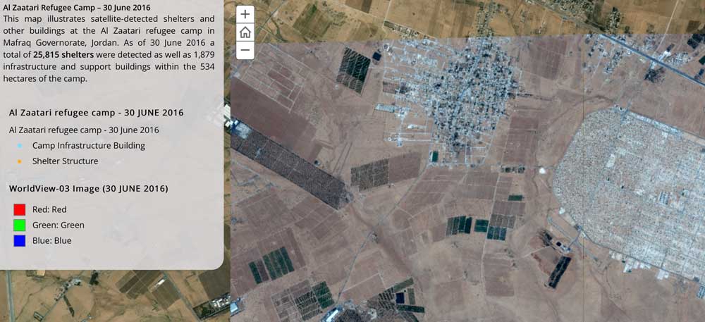
UNITAR-UNOSAT and Radiant.Earth Partner for Greater Impact from Earth Observations
The United Nations Institute for Training and Research (UNITAR), through its Operational Satellite Applications Programme (UNOSAT), and Radiant.Earth agreed to explore new Earth observation data innovations supporting humanitarian disaster management, global health, climate change, sustainable water management and cultural heritage.
Insitu Announces High Accuracy Photogrammetry Payload for Broad Aerial Survey
COSTA MESA, Calif. -Â Insitu today announced the successful integration of a 50-megapixel camera into its ScanEagleâ„¢ Unmanned Aerial Vehicle (UAV) for delivering High Accuracy Photogrammetric (HAP) aerial imagery. This new capability is part of Insitu's INEXAâ„¢...
PDF3D V2.14 Release Meets Demands of Drones, Scanners and 3D Design Applications
PDF3D, leaders in 3D PDF conversion software, have today announced their new release and latest major update to the entire suite of products including PDF3D SDK, XML Server, ReportGen and PV+, bringing features in line with users working with large and complex 3D...
MangoMap Integrates with Maptiks Analytics Maptiks Integrates Web Map Analytics with MangoMap
Prince George, BC: Maptiks and MangoMap have announced the integration of user engagement analytics with MangoMap’s web map applications. Without any coding required, it is now possible to view in-depth analytics with key metrics on usability, performance and a...
