Tampa, Fla., April 17, 2014—This morning, the United States Geospatial Intelligence Foundation (USGIF) announced Roberta “Bobbi†Lenczowski as the recipient of the USGIF Arthur C. Lundahl–Thomas C. Finnie Lifetime Achievement Award. She received her award this...
Autodesk Announces ReCap Connect Partnership Program
San Francisco, April 15, 2014—With its new ReCap Connect Partnership Program, Autodesk will open up Autodesk ReCap – its reality capture platform – to third party developers and partners, allowing them to extend ReCap’s functionality. “Autodesk has a long...
FAA Announces First UAS Test Site Operational
WASHINGTON, April 21, 2014—The U.S. Department of Transportation’s Federal Aviation Administration (FAA) today announced that the first of six test sites chosen to perform unmanned aircraft systems (UAS) research is operational more than two-and-a -half months...
Leica Geosystems to Open HDS Laser Scanner Service Center in Atlanta
NORCROSS, GA, April 16, 2014—Leica Geosystems Inc. today announced that it will open a state-of-the-art laser scanner service center in May that will allow the company to service all current models of Leica ScanStation laser scanners in North America, including the...
SGI Partners to Power Accurate, Real-Time Geospatial Rendering Aimed at Saving Soldiers Lives
MILPITAS, Calif., April 16, 2014—SGI (NASDAQ: SGI), the trusted leader in high performance computing and Big Data, today announced a partnership with GIS Federal, a supplier of high performing innovative solutions for big data, cloud computing and intuitive tools...
The SI Organization to Acquire QinetiQ North America Services and Solution Group
CHANTILLY, Va., April 22, 2014—The SI Organization, Inc. (the SI) announced today that it has signed a definitive agreement to acquire QinetiQ North America Services and Solutions Group (QNA/SSG), a leading provider of differentiated, engineering services and...
TRUTHS Satellite Mission to Create Certainty in Climate Change Data Receives Next Stage of Funding
Middlesex, United Kingdom, April 14, 2014—A proposed satellite mission - that will improve our understanding of the consequences of climate change and could save the global economy up to $30 trillion - has received funding to develop a more detailed design of the...
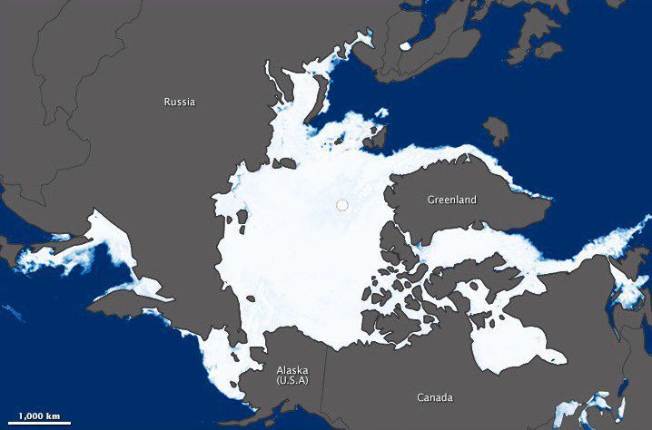
Arctic Sea Ice Extent Continues Trending Lower
Arctic sea ice reached its annual maximum on March 21, 2014. Although the year wasn't extraordinary”the fifth lowest extent in 36 years of satellite records”the trend continues to be.

Researchers Scout for Elk with UAS Technology
A survey over a section of public land near Mount Vernon, Wash., was a first-time trial run using an unmanned aircraft system to survey elk in dense, forested areas to estimate herd population.
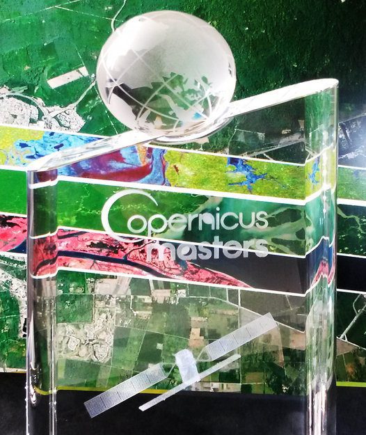
Copernicus Masters Seeks Satellite Data Ideas
The fourth annual Copernicus Masters competition is under way. Ideas for services, business concepts and applications based on satellite Earth observation data can be submitted until July 13.
