On July 17, 2014, 102 uncontrolled fires were burning in British Columbia, along with 13 more in Alberta. Across the border, 33 uncontrolled fires were active in Washington and Oregon.


On July 17, 2014, 102 uncontrolled fires were burning in British Columbia, along with 13 more in Alberta. Across the border, 33 uncontrolled fires were active in Washington and Oregon.

The Washington State Department of Natural Resources plans to test the use of a ScanEagle drone built by Insitu, a subsidiary of Boeing, to monitor wildfires this summer.

An expanded Earth observation data stream, due to new state-of-the-art sensors aboard NASA's segment of the International Space Station, may lead to a live stream of Earth.

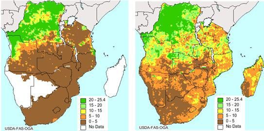
The European Space Agency's Soil Moisture and Ocean Salinity (SMOS) satellite delivers key scientific information on soil moisture and ocean salinity, plus its data are used for a growing number of practical applications.
Colorado Springs, Colo., July 15, 2014—The benefits of viewing and working with oblique aerial imagery now are available to users with the latest versions of ArcGIS for Desktop geographic information system (GIS) software. The Sanborn Map Company’s Oblique Analyst...
Melville, N.Y.,July 9, 2014—Canon Solutions America, Inc., a wholly owned subsidiary of Canon U.S.A, today announced that it will display its latest solutions to help Geographic Information Systems (GIS) operators improve print quality, efficiency and workflow at...
Centennial, Colo., July 14, 2014—CompassCom will offer Esri User Conference attendees a sneak peek at advanced asset tracking capabilities in the upcoming version of its popular CompassTrac® software powered by Esri ArcGIS technology. Scheduled for release in late...
Redlands, Calif., July 10, 2014—Esri today released Explorer for ArcGIS on the Mac, a native OS X application to discover, view, and share maps. The ready-to-use app joins Esri’s family of mapping apps, including Collector for ArcGIS, Dashboard for ArcGIS, and...
Cambridge, Canada, July 7, 2014—exactEarth announced the roll-out of our new exactEarth ShipView™, a modern web-based global vessel tracking tool built around your maritime operational needs. This easy-to-use platform is hosted entirely by exactEarth so you can...
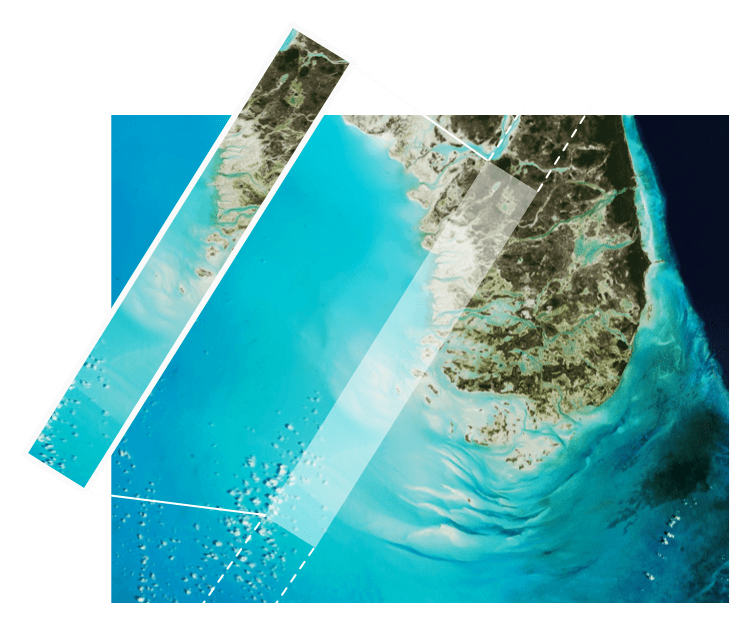
Toulouse, France, July 4, 2014—Airbus Defence and Space has published the first images obtained from the SPOT 7 satellite, a mere three days after its launch on 30 June. Over the last few hours, the entire chain – from satellite programming and image acquisition...