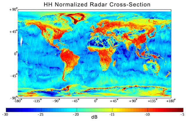
Aaron Berg, a University of Guelph geography professor using a NASA satellite to study global soil-moisture levels, received a $280,000 boost from the Canadian Space Agency.
Aaron Berg, a University of Guelph geography professor using a NASA satellite to study global soil-moisture levels, received a $280,000 boost from the Canadian Space Agency.

On Aug. 11, 2015, the Korea Aerospace Research Institute (KARI) announced that its EAV-3, a high-altitude UAV powered by solar cells, succeeded in flying into Earth's stratosphere at 14 kilometers above sea level during its nine-hour flight.
August 18, 2015 — Members of the Open Geospatial Consortium (OGC®) request comments on proposed OGC standards for the representation of observations as timeseries, that is, a sequence of data values which are ordered in time. The OGC Timeseries Profile of...
August 18, 2015 — Europa Technologies has deployed a unique coverage map service for Ofcom – the UK telecommunications regulator. The new map is designed to support consumers in choosing a service that best suits their needs, while promoting competition between...
ATLANTA, August 18, 2015 — In order to get the most out of geotargeted campaigns, marketers need relevant, real-time location-based data to help create a smoother customer journey. With that in mind, Digital Element has introduced GeoMprint, a new reverse geocoding...
SUNNYVALE, Calif., August 18, 2015 —Trimble announced today the launch of Trimble® VRS Now™ correction service in Georgia. The commercial subscription service provides surveyors, civil engineers, and geospatial professionals in the region with instant access to...
ISSAQUAH, Wash., August, 18, 2015 — EarthDefine, a provider of high-resolution spatial data products, has created a seamless tree canopy dataset that maps Minnesota's trees in unprecedented detail. The Minnesota SpatialCover Tree Canopy dataset maps trees with 98%...
August 18, 2015 — Teledyne Optech is pleased to announce that Dr. Mark Whorton has assumed the role of President of the US organization Teledyne Optech, Inc. In this role, Dr. Whorton will oversee US operations and apply his expertise to the development of the...
August 17, 2015 — The August release of LAStools from rapidlasso GmbH now also contains a toolbox for the latest 15.1 version of ERDAS IMAGINE® 2015 from Hexagon Geospatial. The two companies had announced their cooperation earlier this year after releasing...
SUNNYVALE, Calif., August 17, 2015 — Trimble (NASDAQ: TRMB) announced today the appointment of Darryl R. Matthews as senior vice president and sector head responsible for Trimble's Agriculture, Forestry, Positioning Services and HarvestMark Divisions, effective...
