SmarterBetterCities today announced its new CloudCities release with web-based 3D data mashup and advanced editing capabilities. The new CloudCities is now available at www.cloudcities.io. Â CloudCities is an online platform for visualizing, editing, and publishing...
Travelers Launches Wide-Scale Use of Drones to Assess Damage Caused by Hurricane Matthew
HARTFORD, Conn. — The Travelers Companies, Inc. (NYSE: TRV) has deployed a team of claim professionals who will use small unmanned aircraft systems (sUAS), or drones, to assist with residential and commercial property damage inspection in South Carolina, Georgia and...
Verizon Uses Drones for Cell Site Inspections in the Carolinas in Wake of Hurricane Matthew, Another Tool for Reliability
RALEIGH, N.C —  Verizon is using drones to help with cell site inspections from the air in North Carolina and South Carolina to survey areas impacted by severe flooding from Hurricane Matthew. The quadcopter used for the inspections is an unmanned aerial system...
Hexagon Safety & Infrastructure Chosen by Salt Lake Area Public Safety Agencies for Integrated 911 Dispatching and Records Management
HUNTSVILLE, Ala.— The municipal and county police, fire and emergency medical agencies within Salt Lake County, Utah, selected a suite of mission-critical software from Hexagon Safety & Infrastructure to consolidate regional public safety IT and operations for...
Bentley Systems 2017 Year in Infrastructure Conference to be Held in Singapore Oct. 10-12
EXTON, Pa., U.S.A. – Bentley Systems, Incorporated, a leading global provider of comprehensive software solutions for advancing infrastructure, today announced that The Year in Infrastructure 2017 Conference will be held Oct. 10-12 in Singapore. The conference will...
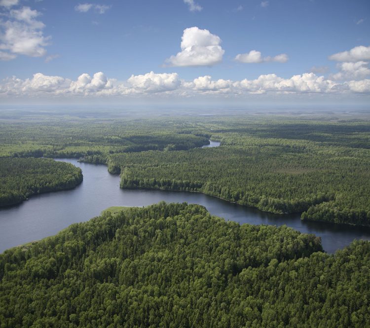
Satellite Imagery Helps Verify ˜Zero Deforestation' Commitments
Airbus Defence and Space, The Forest Trust (TFT) and SarVision developed the Starling service, which enables companies to provide evidence of how they're implementing their No Deforestation commitments. Starling uses a combination of high-resolution optical satellite and radar imagery to provide unbiased monitoring of forest-cover change.
Remote Sensing Satellite Market Challenges, Applications, Research and Opportunities to 2016-2021
The Global Remote Sensing Satellite Market is expected to grow at a CAGR of around 5% during 2016-2021. The key factors driving the demand are growing investment on satellite communication and ISR payloads, and the growing need for advanced optical imaging systems....
Esri Business Partner, GEO Jobe, Announces Release of Admin Tools V 1.0.12 in the ArcGIS Marketplace
NASHVILLE, Tenn. — We’re pleased to announce an important update of our popular Admin Tools for ArcGIS Online – say hello to Admin Tools V 1.0.12! The latest version of Admin Tools (consistently a TOP app in the Esri ArcGIS Marketplace) gives the ArcGIS...
URISA Announces Finalists for the 2016 Geospatial Student Competition
Des Plaines, IL - URISA and the Vanguard Cabinet are pleased to announce the finalists in the 2016 Geospatial Student Competition. The intent of the competition is to showcase the geospatial technology skills of current post-secondary students. Competing students...
Indonesian Telco Uses Advanced Analytics Aechnology to Double Subscribers
State-owned telecommunications company Telekomunikasi Indonesia (Telkom) has turned to advanced location-based analytics technology as part of its efforts to double the number of their IndiHome subscribers from 2 million to 4 million by 2020. Their new location-based...
