Satellite Imagery Helps Verify ˜Zero Deforestation' Commitments

Satellite Imagery Helps Verify ˜Zero Deforestation' Commitments

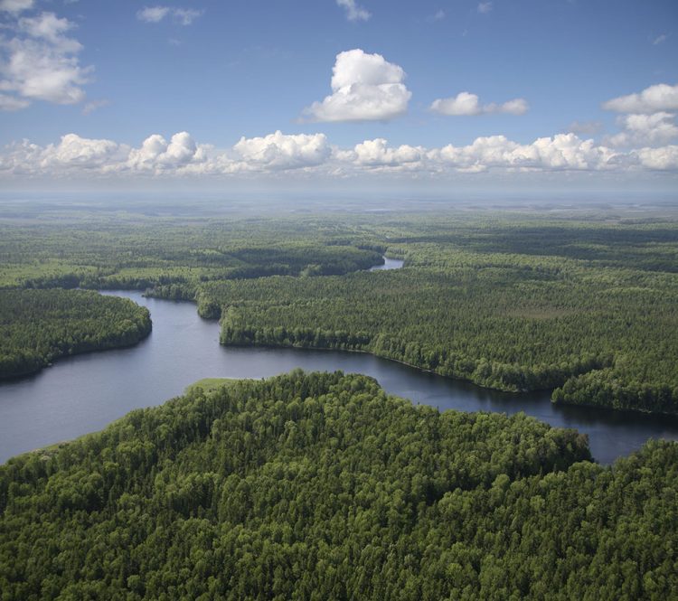
Airbus Defence and Space, The Forest Trust (TFT) and SarVision developed the Starling service, which enables companies to provide evidence of how they're implementing their No Deforestation commitments. Starling uses a combination of high-resolution optical satellite and radar imagery to provide unbiased monitoring of forest-cover change.
ONR Researcher Wins Prize for Satellite-Imaging Work

ONR Researcher Wins Prize for Satellite-Imaging Work

For research that could provide warfighters with extremely accurate digital images of future combat zones and potential enemies, a French mathematician sponsored by the Office of Naval Research (ONR) recently won the prestigious Longuet-Higgins Prize from the Institute of Electrical and Electronics Engineers (IEEE) Computer Society.

Earth Observation Comes of Age

Just 15 years ago, besides the familiar hurricane swirls and other weather-related phenomena, the average person had seen few, if any, images collected by an Earth observation (EO) satellite. Meanwhile, in relative obscurity, the scientific community was benefiting...

NEWEST V1 MEDIA PUBLICATION

April Issue 2024