Satellites Deliver Insight into African Lakes

Satellites Deliver Insight into African Lakes

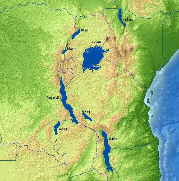
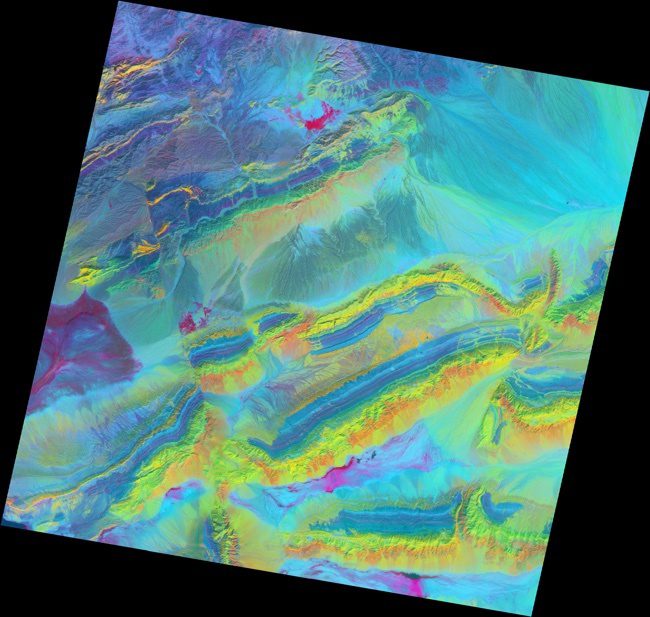
Getech developed a new satellite-based gravity data product that enhances explorationists' understanding of the East African Rift. Potential fields data have proved particularly successfully within this environment, and numerous oil companies have cited how such information had direct positive impacts on exploration campaigns.

Mapping Minerals with Light

Mapping Minerals with Light

The spectacular exposed geology of northwestern China offers an ideal landscape for illustrating how satellite measurements can identify minerals from afar.

NEWEST V1 MEDIA PUBLICATION

April Issue 2024