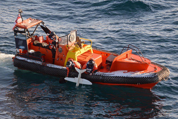
A 3D-printed UAS built by the University of Southampton is helping the British Royal Navy's ice-patrol ship HMS Protector navigate through Antarctic seas.


A 3D-printed UAS built by the University of Southampton is helping the British Royal Navy's ice-patrol ship HMS Protector navigate through Antarctic seas.
April 21- What’s not to like about an automated government system that’s faster, simpler and more user-friendly than the paper-based system it supplements? In a Federal Register notice (PDF), the Federal Aviation Administration (FAA) officially notified owners of...

The Commercial UAV Expo published a free report, UAVs in Precision Agriculture, which describes how drone/UAS/UAV technology is reshaping how farmers and growers perform crop scouting, nutrient management, field mapping, drainage assessment and more.

Right now, it's kind of a Wild West out there, says Scott Simmons, executive director of the Standards Program of the Open Geospatial Consortium (OGC).

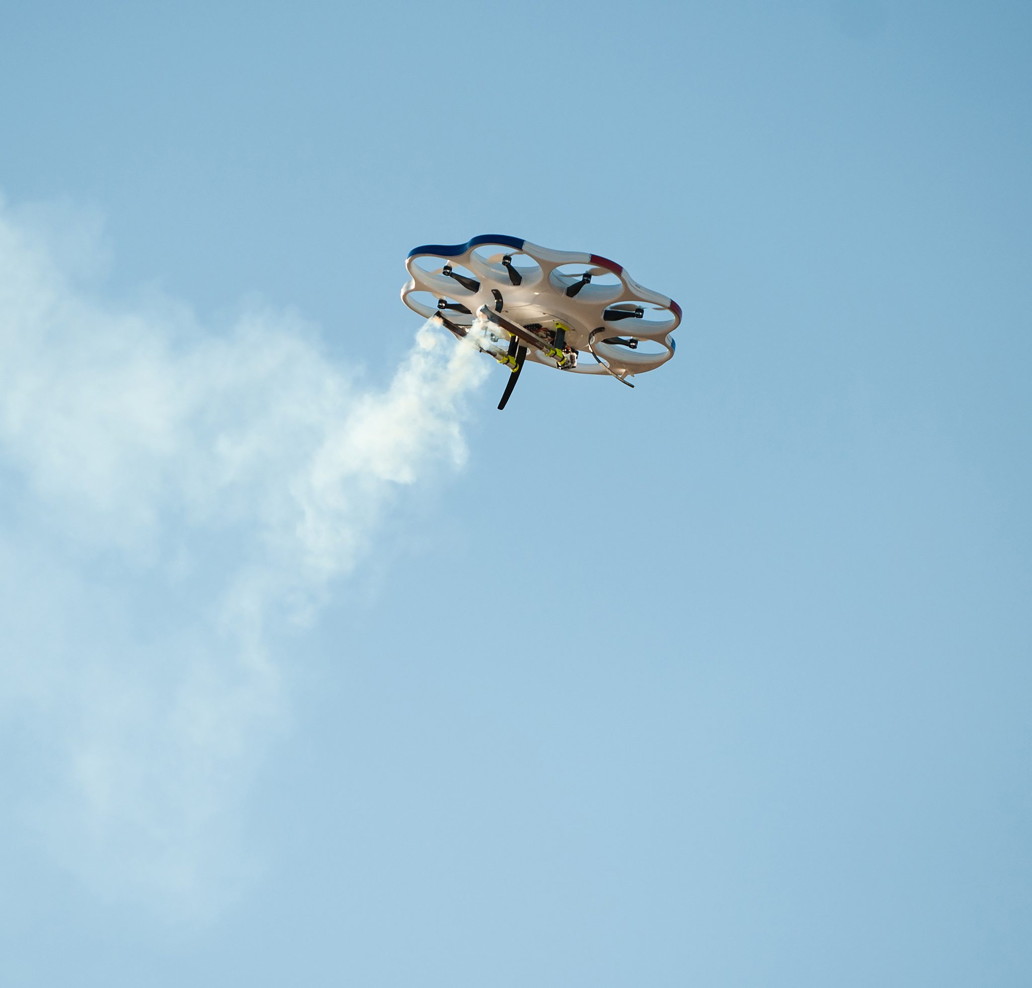
A team of Nevada scientists and unmanned aircraft system (UAS) engineers successfully flight tested the first-ever autonomous cloud-seeding aircraft platform.
The Federal Aviation Administration (FAA) today released an updated list of pilot, air traffic controller and citizen reports of possible encounters with unmanned aircraft systems (UAS). The latest report covers August 22, 2015 through January 31, 2016. ...
RENO – A team of Nevada scientists and unmanned aircraft systems (UAS) engineers have successfully flight tested the first-ever autonomous cloud seeding aircraft platform. Cloud seeding flare tests were deployed from Drone America’s DAx8 UAS aircraft flown in Reno...
Woolpert has been hired by Michigan Tech Research Institute (MTRI) to collect imagery via unmanned aerial system (UAS), or drone, of haul roads throughout the Midwest. This project, “Characterization of Unpaved Road Conditions Through the Use of Remote Sensing,â€...
Karlsruhe, March 14, 2016 — The “interaerial SOLUTIONS Expo. Forum. Flight Zone for UAS.†has been cleared for take-off. A dedicated website has been launched for this marketplace for UAS business applications. From suppliers of UAS to new drone-as-a-service...
LIVERMORE, Calif. — Topcon Positioning Group announces its director of geospatial solutions will participate as a speaker at the upcoming Association of Equipment Management Professionals (AEMP) 34th Management Conference and Annual Meeting, March 15 – 17 in...