Cheseaux, Switzerland, August 31 — Swiss professional drone manufacturer, senseFly, expanded its portfolio today with the launch of the new eBee SQ fixed-wing agricultural drone. This cutting-edge unmanned aircraft system (UAS) is built for the Parrot Sequoia...
Woolpert Dispatches Drones to Mitigate, Predict Landslides
WEST VIRGINIA — Woolpert has tasked its unmanned aerial systems (UAS), or drones, with monitoring landslide areas and potential landslide areas in northern West Virginia. “This is an active weather time, with West Virginia experiencing historic rains,†said...

DOI, UAS Industry Partnering to Reduce Firefighting Interference
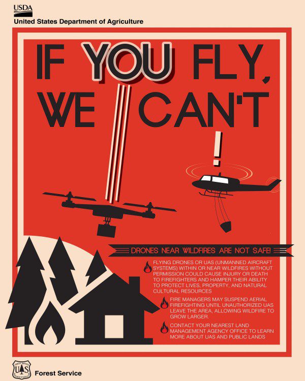
To address the growing problem of unmanned aircraft systems (UASs) impeding wildland firefighting efforts, the U.S. Department of the Interior and industry partners activated a prototype warning system that provides real-time alerts and geofencing alarms to prevent drone pilots from interfering with firefighting operations.
As Wildfire Season Continues to Heat up, Interior Partners with Industry to Eliminate Drone Intrusions
WASHINGTON, D.C. – To address the growing problem of unmanned aircraft systems (UAS) impeding wildland firefighting efforts, the U.S. Department of the Interior and industry partners activated a prototype warning system that provides real-time alerts and...
Drone Industry Experts and Major Firms Are Set to Present at the UAS Summit & Expo
GRAND FORKS, ND - UAS Magazine announced this week the preliminary agenda for the 10th annual UAS Summit & Expo, the Upper Midwest's premier unmanned aircraft systems event produced by UAS Magazine and the Red River Valley Research Corridor. Taking place August...
Cardno UAS Fleet Achieves New Levels of Industry-leading Performance & Accuracy
Lone Tree, CO – July 20, 2016 - Cardno, Inc. announced that the newest platform in its industry-leading unmanned aircraft system (UAS) fleet is the Pulse Aerospace Vapor 55 on which the Riegl VUX-1 LiDAR sensor will be mounted. It will be deployed primarily for...
FAA’s Randy Willis Receives MAPPS Public Service Award
MAPPS, the association of geospatial firms, today announced that Randy Willis, Manager for Strategic Operations - Unmanned Aircraft at the Federal Aviation Administration, has been presented the MAPPS Public Service Award. Mr. Willis was recognized today at the MAPPS...
microdrones Celebrates Part 107 with High-Value Offer
ROME, N.Y. - As the Federal Aviation Administration (FAA) announces their highly anticipated Part 107, which outlines formal rules allowing the use of commercial drones, many businesses across the United States are rejoicing – and microdrones is no exception. The...
Cardno Files U.S. Patent Application for UAS Remote Sensing Process
Cardno announced the filing with the U.S. Patent & Trademark Office of a patent application in the Unmanned Aerial Systems (UAS) industry. The patent application is for a remote sensing workflow using UAS and specialized sensors to assess uranium contamination at...
NASA, AeroVironment and SmartC2 Team for Beyond-Visual-Line-of-Sight Unmanned Aircraft System Traffic Management Flight Demonstration
NEW ORLEANS (XPONENTIAL 2016), MAY 3, 2016 – AeroVironment, Inc. (NASDAQ: AVAV), a world leader in small unmanned aircraft systems (UAS), today announced that the company – in partnership with SmartC2, a leading provider of flight business management systems –...

