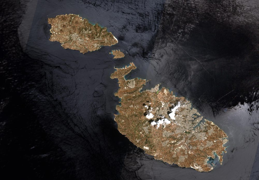
This image of Malta, captured by the European Space Agency (ESA) Copernicus Sentinel-2B satellite, is one of the first sets of images delivered via Alphasat, which is in geostationary orbit 36,000 kilometers above Earth.


This image of Malta, captured by the European Space Agency (ESA) Copernicus Sentinel-2B satellite, is one of the first sets of images delivered via Alphasat, which is in geostationary orbit 36,000 kilometers above Earth.